Winnipeg will end the work week with near-seasonal temperatures, but more warmth is on the way for the weekend.

An Arctic high slumping through southern Manitoba will bring near-seasonal temperatures to the region with daytime highs comfortably in the -10 to -5 °C range. Skies will be sunny with light winds that begin to pick up out of the south in the evening.
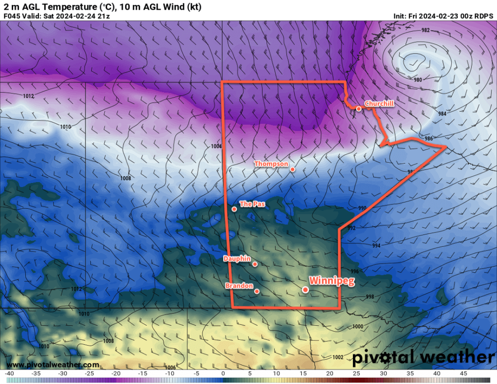
A strong low pressure system will begin tracking eastwards through the southern Arctic today, and by tonight it will start dragging a warm front across southern Manitoba. Temperatures will dip to a low near -10 °C tonight, then climb into the -5 to 0 °C range by Saturday morning as the warm air pushes into the Red River Valley.
Saturday will bring partly cloudy skies to the region with highs jumping up into the mid-single digits. Breezy southerly winds will shift westerly through the day, hovering in the 20 to 30 km/h range. A weak cold front will slump through the region on Saturday evening. Temperatures will dip to a low in the -10 to -5 °C range overnight.
A ridge of high pressure will cross the region on Sunday, bringing light winds and a high near freezing. Skies will again be partly cloudy but otherwise there will be little weather to talk about to end the weekend.
On Sunday night, a potent Alberta Clipper is forecast to begin ejecting eastwards across the Prairies; it will bring much warmer air surging northwards into the Prairies ahead of it as it tracks towards Manitoba overnight. This warmer air pushing into the region will keep overnight lows mild in the -5 to 0 °C range with cloud building in as moderate southeast winds pick up.
Long Range Outlook
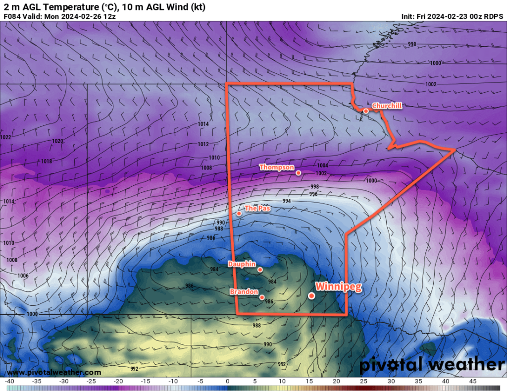
Monday’s weather in Winnipeg will be dependent on the exact track of the Alberta clipper. If it tracks more southerly, then the city will see cloudy skies and likely morning snow as the warm front slides through and evening snow as the system’s cold front slams through. In this case, a daytime high near 5 °C wouldn’t be unreasonable.
If, against the odds, the system tracks more northerly, then Winnipeg may escape the morning snow and see temperatures soar into the upper single digits as southwest winds mix mild Pacific air to the surface. Either way, a potent cold front will slam through in the evening and bring strong northwest winds and plummeting temperatures.

A huge Arctic high will slump into the region behind the clipper, sending temperatures plummeting rapidly. Temperatures will likely drop into the -20 to -15 °C range on Monday night, barely recover on Tuesday, and then drop into the mid-minus 20s on Tuesday night.
This clipper will likely bring a swath of 10 to 20 cm of snow across the central Prairies, but along the Trans-Canada Highway corridor and areas south, there’s more uncertainty with amounts and whether the precipitation will be rain or snow.
The cold snap will be short lived after this system as the upper pattern continues to favour progressive systems. Wednesday will bring below-seasonal highs to the region for another day, then a warmup begins heading towards the weekend!
Today’s seasonal daytime high in Winnipeg is -6 °C while the seasonal overnight low is -17 °C.
