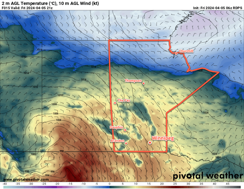
A stagnant pattern over the region will bring sunny skies and warm weather to Winnipeg for the rest of the weekend.

A slow-moving upper ridge over the the province and a stalled surface low in Montana will result in little change to the weather in Winnipeg this weekend.
In the days ahead, the region will see sunny skies with daytime highs warming from the low teens into the mid-teens. Overnight lows will hover near or just above freezing.
Winds will strengthen out of the southeast into the 20 to 30 km/h range today, stay steady tonight, then increase to 40 gusting 60 km/h on Saturday. The winds will ease on Saturday night back into the 20 to 30 km/h range and shift easterly for Sunday.
Long Range Outlook
Monday brings the partial solar eclipse to the region, and unfortunately the region may struggle with cloud cover through the day. A low pressure system crossing the American Plains will spread thick cloud cover all the way through North Dakota and it’s likely that it will spill into southern Manitoba. At this point, it’s unlikely that skies will be overcast, but the region will likely have at least a mix of sun and cloud.
Skies will clear out Tuesday, leaving partly cloudy skies for much of the rest of the week. Temperatures will continue to be mild with highs in the 10 to 15 °C range and lows hovering near the freezing mark.
Today’s seasonal daytime high in Winnipeg is 7 °C while the seasonal overnight low is -5 °C.
