The warm spring weather continue in Winnipeg this week, but a passing low pressure system on Wednesday will bring a chance of showers to the region.

Temperatures will stay warm in Winnipeg through the rest of the week as more mild Pacific air spills across the southern Prairies. Daytime highs will hover in the low to mid-teens this week with lows in the 0 to +5 °C range.
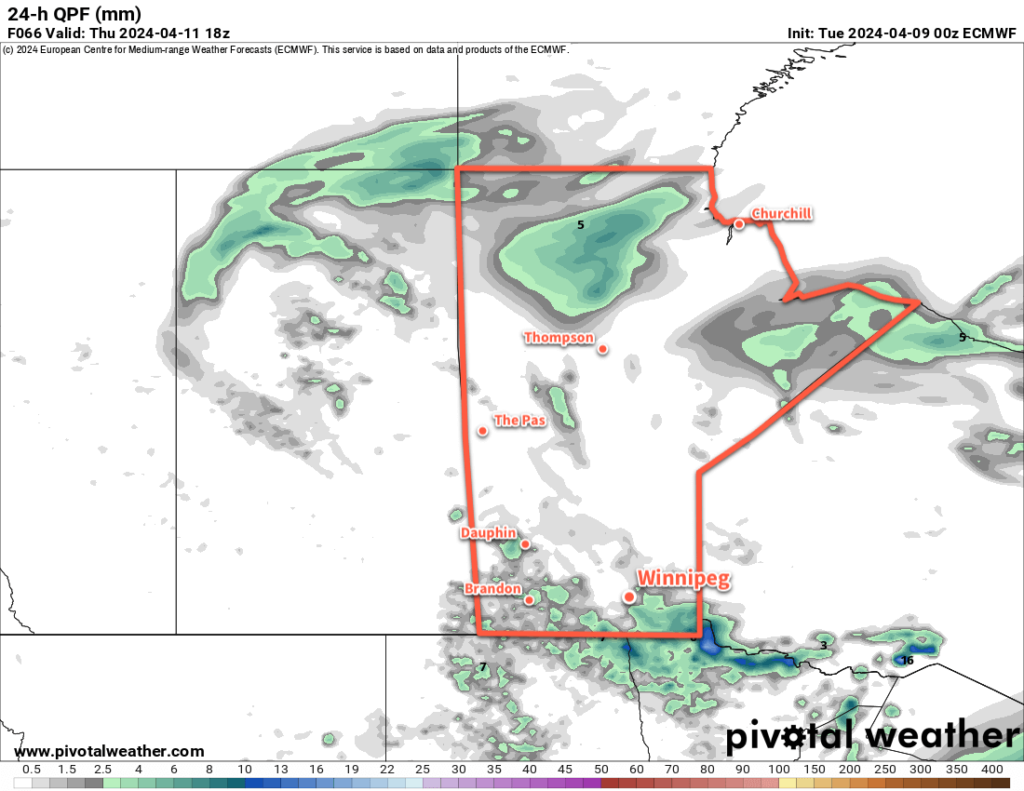
While today will be mainly sunny, clouds will move in tonight as a low pressure system moves into southern Manitoba from central Saskatchewan. This system will support an area of showers that develops on Wednesday afternoon near the Saskatchewan/Manitoba border that drifts southeast into the evening. The chance of showers will last through the night, then taper off on Thursday morning as the low moves into Ontario.
Behind the low on Thursday, cloud cover will slowly break up as moderate northwest winds develop. By the afternoon, Winnipeg should see clearing skies with northwesterlies into the 30 to 40 km/h range. A ridge of high pressure will move in on Thursday night, bringing clear skies and light winds.
On Friday, the ridge will depart to the east and another low pressure system will begin its trek across the Prairies. This will bring increasing southeast winds with sunny skies giving way to late day cloud. There will be a chance of showers on Friday night as a warm front moves across the province.
Long Range Outlook
Saturday will bring the warmest weather of the year thus far to the Winnipeg area. With the warm front through and no snow cover left, daytime highs should be able to climb into the upper teens or low 20s with west-southwest winds. There could be a chance of a shower on Saturday evening as a cold front swings through with the passage of a low pressure system.
Sunday will bring cooler, but still mild, weather to the region. Daytime highs should sit in the mid-teens with breezy northwest winds and mixed skies.
Heading into next week, many forecast models suggest that a potent Colorado Low will develop and move towards the province. It’s too early to say anything definitive at this point, but this system could bring a broad swath of notable rain and/or snow to much of the eastern Prairies as it moves through. This storm could bring dangerous winter storm conditions to parts of the eastern Prairies; at this point it looks like much of the worst of the storm will move through eastern Saskatchewan and western Manitoba, but we’ll be sure to keep an eye on it as it develops.
Today’s seasonal daytime high in Winnipeg is 8 °C while the seasonal overnight low is -4 °C.
