An upper ridge building into the Prairies will send high temperatures back into the mid-20s across southern Manitoba.
The main weather-maker through the rest of the week will be an upper high that will move from the Pacific coast east towards the American Plains. It will build a strong upper ridge into the Prairies and push temperatures well above seasonal norms.
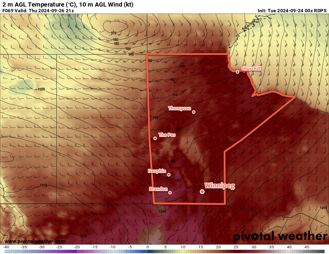
For Winnipeg, this trend will start with clearing skies today as temperatures climb to a high in the low 20s. For Wednesday and Thursday, sunny skies will blanket the region with highs climbing into the mid-20s. The winds will only be notable on Thursday where they will pick up out of the south into the 20 to 30 km/h range.
Overnight lows will range from the low to mid-teens over the next few days.
Long Range Outlook
The upper ridge will linger over Manitoba as it begins to break down near week’s end. This will mean mainly sunny conditions should continue into the weekend with daytime highs in the low to mid-20s.
Today’s seasonal daytime high in Winnipeg is 16 °C while the seasonal overnight low is 4 °C.