The bitter cold that’s been entrenched in the region for over a week will finally give way with temperatures gradually warming to above-seasonal values.
Winnipeg’s weather is in for a change this week as a lobe of the Polar Vortex exits the region. It will weaken substantially over the next couple days, then rapidly shift east out of the country through the second half of the week.
As a result, there will be little change through the first half of the week, and substantial change in the second.
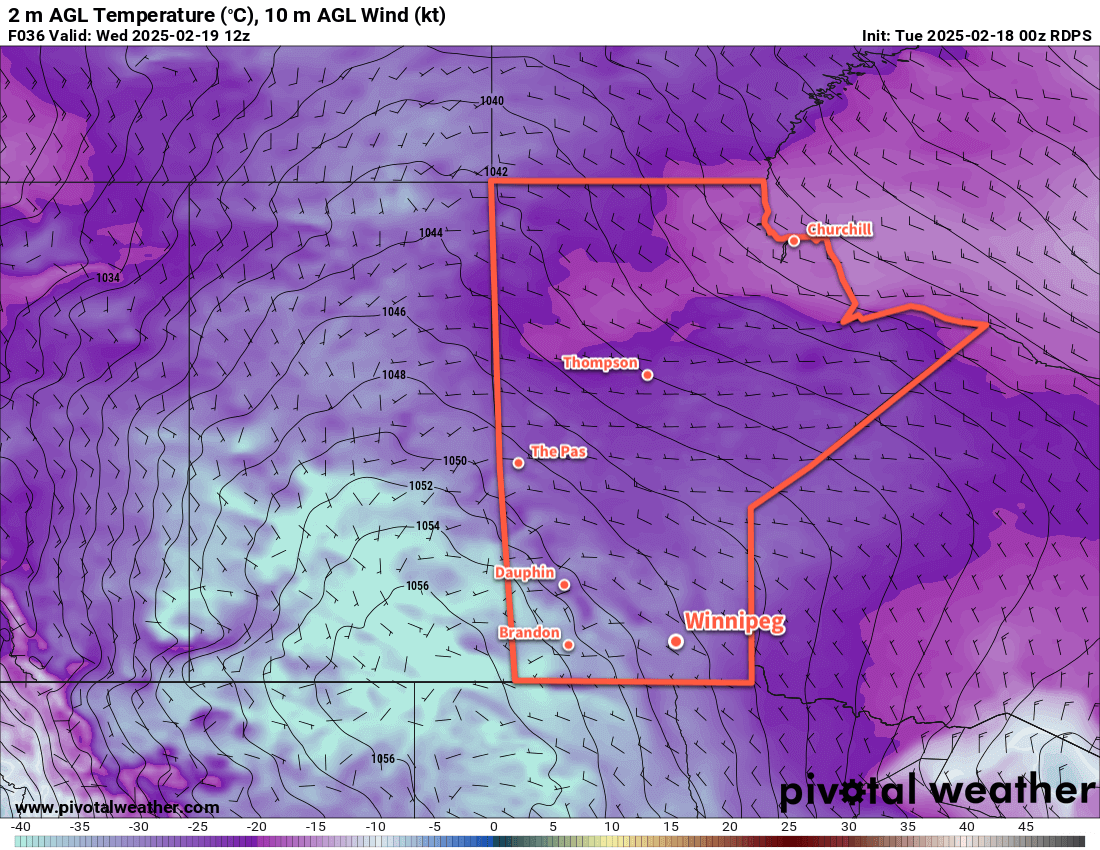
Over the next few days, as the weakened portion of the polar vortex dissipates, temperatures will gradually rise. By Thursday, daytime highs in Winnipeg will increase from near -20 °C to the mid-minus teens. Overnight lows will follow, rising from the -30 to -25 °C range into the minus teens.
A sprawling (and weakening) Arctic high will dominate the surface pattern, bringing sunshine and light west-northwest winds.
Long Range Outlook
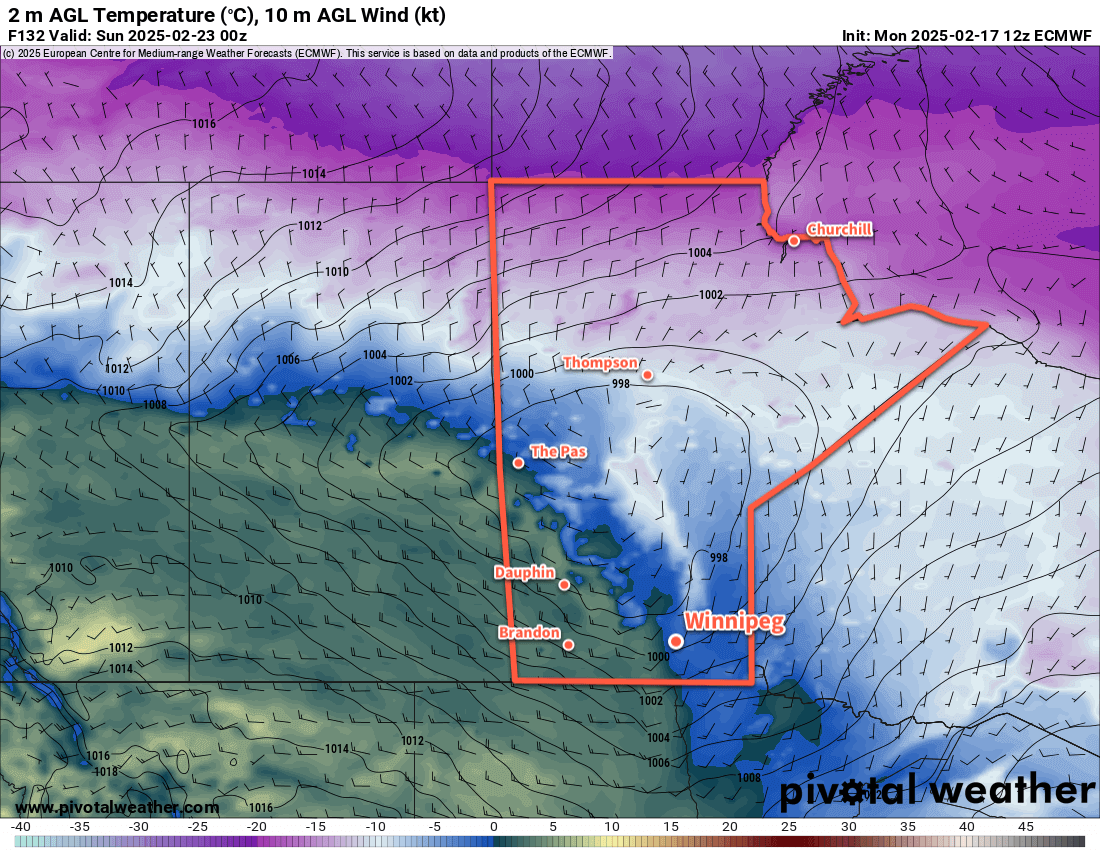
While Thursday will mark the beginning of a pattern change, it will become more pronounced to end the week. The remnants of the Polar Vortex will rapidly shunt east, allowing an upper ridge to build into the Prairies from the Pacific. This will push much milder air across the region, sending daytime highs well above seasonal normals.
Daytime highs will climb to near-seasonal values on Friday, then warm closer to 0 °C on the weekend. For areas west of the Red River Valley, above-freezing temperatures are probable; we’ll have to wait to see how much mild air is able to scour into the Red River Valley to see how warm Winnipeg is able to get.
The above-seasonal temperatures will continue right through next week.
With this change, the region will shift closer to the storm track. No major systems are expected, but occasional bouts of light snow or even a wintery mix will be possible beginning this weekend and through much of next week.
Today’s seasonal daytime high in Winnipeg is -7 °C while the seasonal overnight low is -18 °C.
#wx_below_seasonal_temperatures #wx_above_seasonal_temperatures
#Winnipeg #MBwx