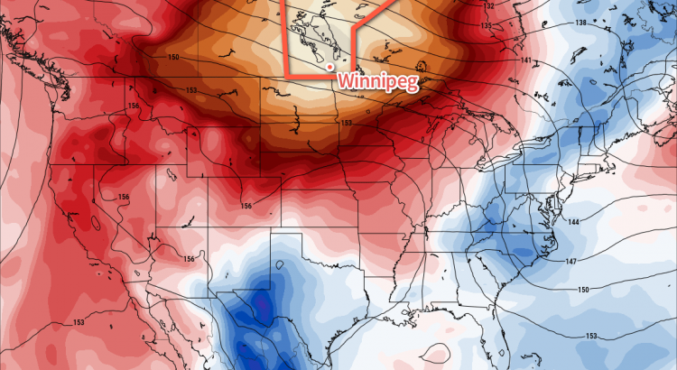
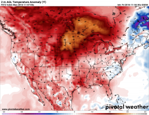
A cold front that passed through yesterday will try to cool things off in Winnipeg, but the heat won’t be kept down for long with well above-normal temperatures bouncing back into the region for the weekend.
A cooler air mass will be in place over Winnipeg today, ushered in by a series of cold fronts which passed through the region on Thursday. Today’s high temperatures will sit around 6°C across Winnipeg & the Red River Valley under sunny skies. While this is 7°C cooler than yesterday and 12°C cooler than Wednesday’s high of 18.8°C, a high of 6°C is still well above the seasonal average high of 0°C.
The wind will begin to pick up out of the south this afternoon, first to 20-30 km/h and then strengthen to 30-40 km/h tonight as a warm front pushes across the Red River Valley. Temperatures will dip to a low near 3°C.
Saturday will bring milder air back to Southern Manitoba. With the warm front off to our east, mainly sunny skies, and light winds, the high of 12 or 13°C will feel quite pleasant. Temperatures will drop to a low near 4°C on Saturday night.
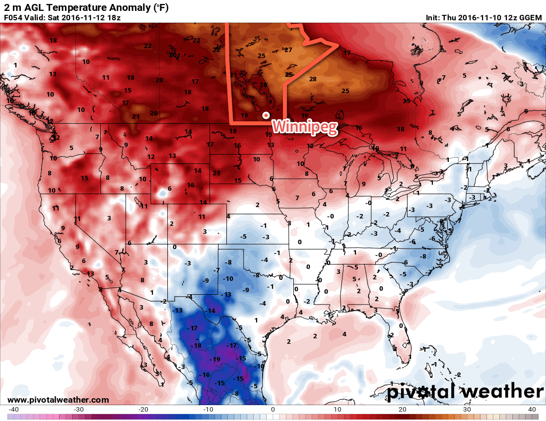
Sunday will bring mixed skies as a cold front sweeps through midday. Temperatures will reach a high near 11 or 12°C before the front comes through, and then the winds will pick up out of the northwest to 20-30 km/h. It doesn’t appear that the passage of the front will bring any rain to the region, but a very light sprinkle can’t be ruled out.
Temperatures will drop to a low near 0-1°C on Sunday night.
Long Range
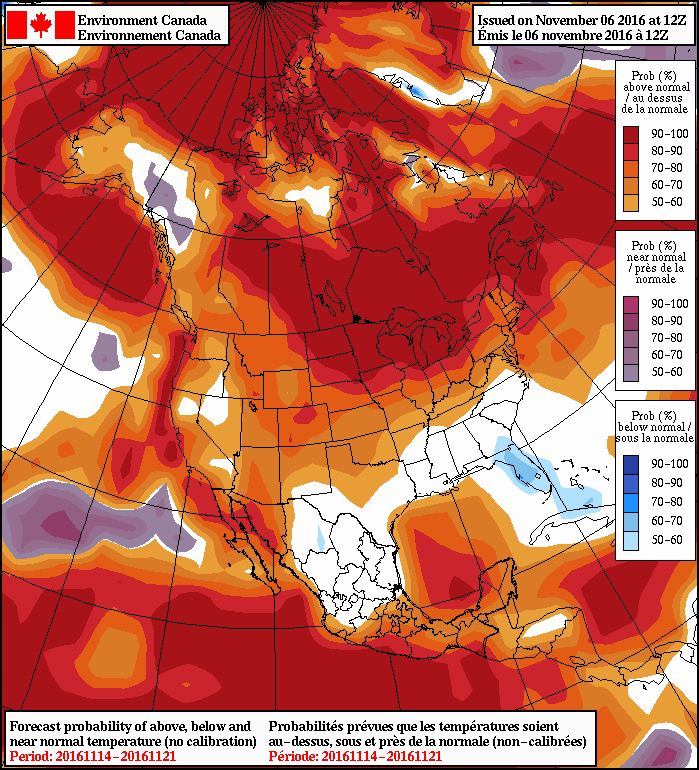
It appears that the unseasonably warm and dry weather will continue for quite a while yet, with most outlooks showing no sign of significant abatement until next weekend. The biggest sign of change looks to be a system expected to track into our region on Friday November 18th. Models diverge on the general outcome of this system, with two primary possibilities:
- A quick-moving system that slides through over 12-18 hours and produces 10-20 mm of rain over Southern Manitoba.
- A significantly slower outcome: a potent Colorado Low that could potentially produce a blizzard over Southern Manitoba.
It’s still very early to speculate much on this, but the one thing that looks fairly certain is that, no matter which solution, it will mark a shift in the overall weather pattern that will bring temperatures (generally) back towards seasonal values.
Winnipeg’s seasonal daytime high is currently 0°C while the seasonal overnight low is -8°C.
