RDPS 2m Temperature Forecast valid 12Z Thursday January 16, 2020

Progressive Pattern Brings Mid-Week Cold Snap Followed Up By Mild Friday, More Snow

Winnipeg will see bitter cold settle over the region for the next couple days, but milder temperatures will quickly move back into the region alongside snow on Friday.

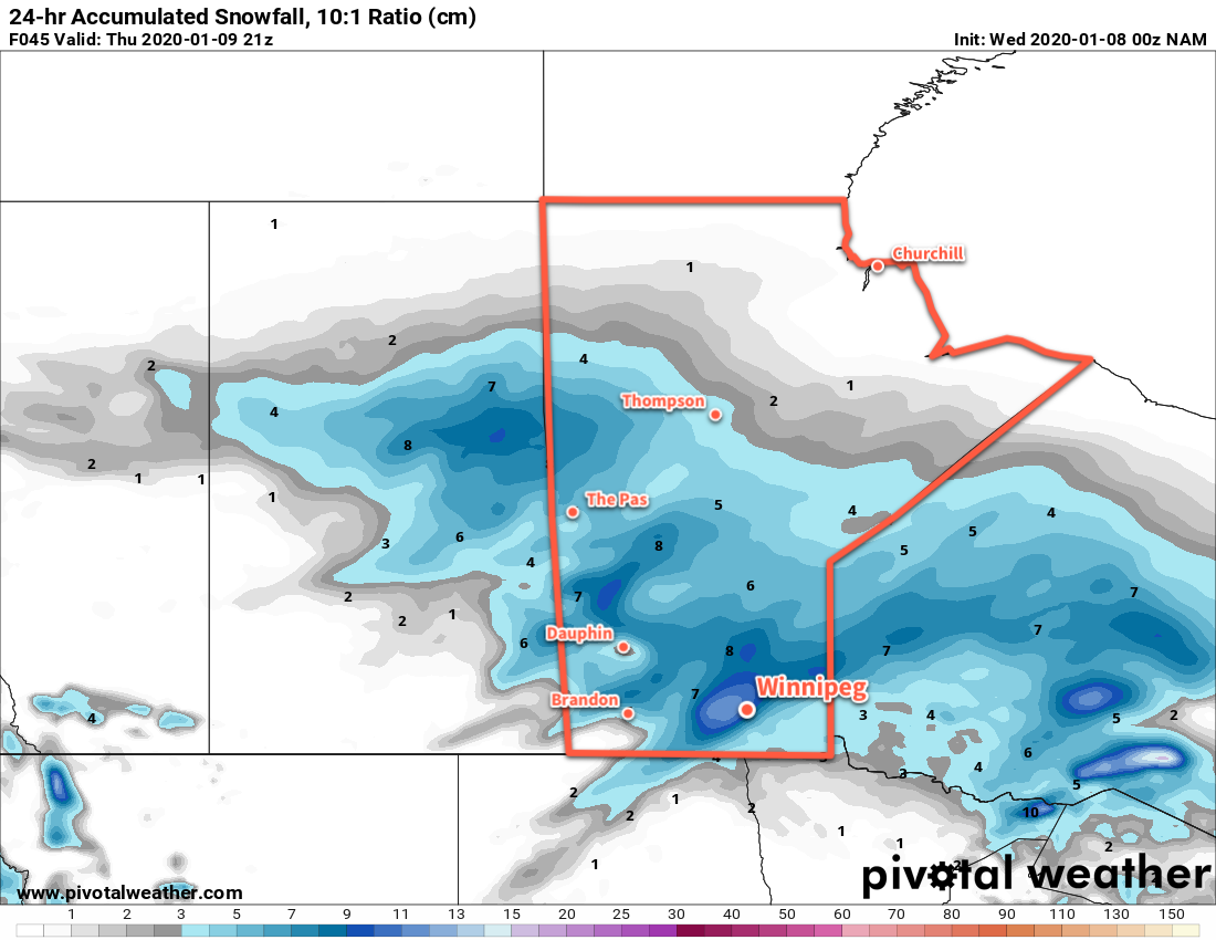
Cold air will continue to build into Winnipeg today with highs climbing to a seasonably cold -19°C. Winnipeg and area will see mostly cloudy skies through the day with some light snow likely. By the evening, around 2 to 4 cm of snow will have fallen in Winnipeg with amounts climbing closer to 5 cm along the International border. Winds will pick up to around 20 km/h this morning and then diminish this evening. A potent Arctic high will continue to push into Manitoba from the west tonight, sending temperatures plummeting to a low near -30°C with clearing skies.

Thursday will be a cold day across the region as that Arctic high slides across the region. Temperatures will top out at just -23°C with light winds and sunny skies. Then on Thursday night, the next low pressure system will begin forming over the southern Prairies and Northern Plains. This system will develop as a low pressure centre crossing the Dakotas with a broad inverted trough extending northwards into southern Manitoba. As it approaches on Thursday night, winds will pick up out of the southeast to around 20 km/h. Cloud cover will spread into the region through the night with temperatures rising to around -17°C by Friday morning.

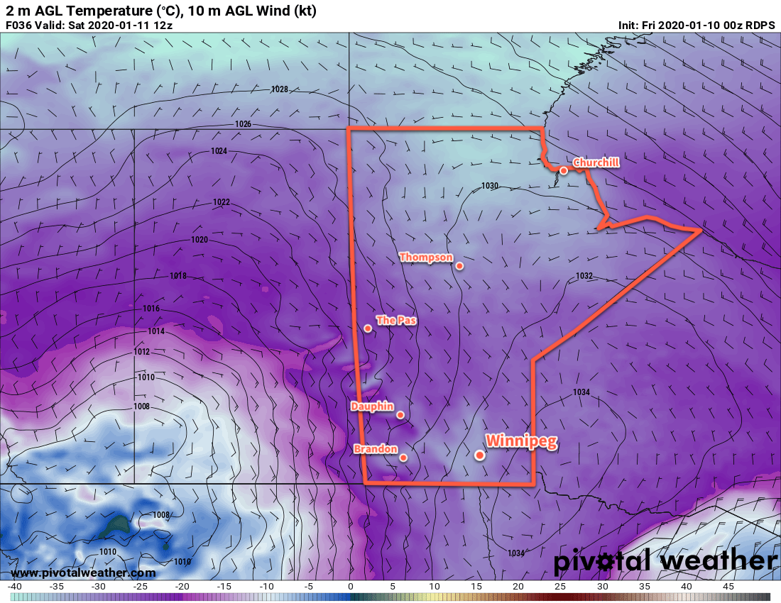
On Friday, milder temperatures will spread into the Red River Valley as the inverted trough slides through. Winnipeg will see a high near -8°C with a southeast wind continuing at 20 to 30 km/h. More snow will develop over the region on Friday afternoon and continue through the night.

NAM 24hr. Accumulated Snowfall Forecast valid 12Z Saturday January 18, 2020
Close to 10 cm of snow is possible across much of southern Manitoba on Friday afternoon through Saturday morning.

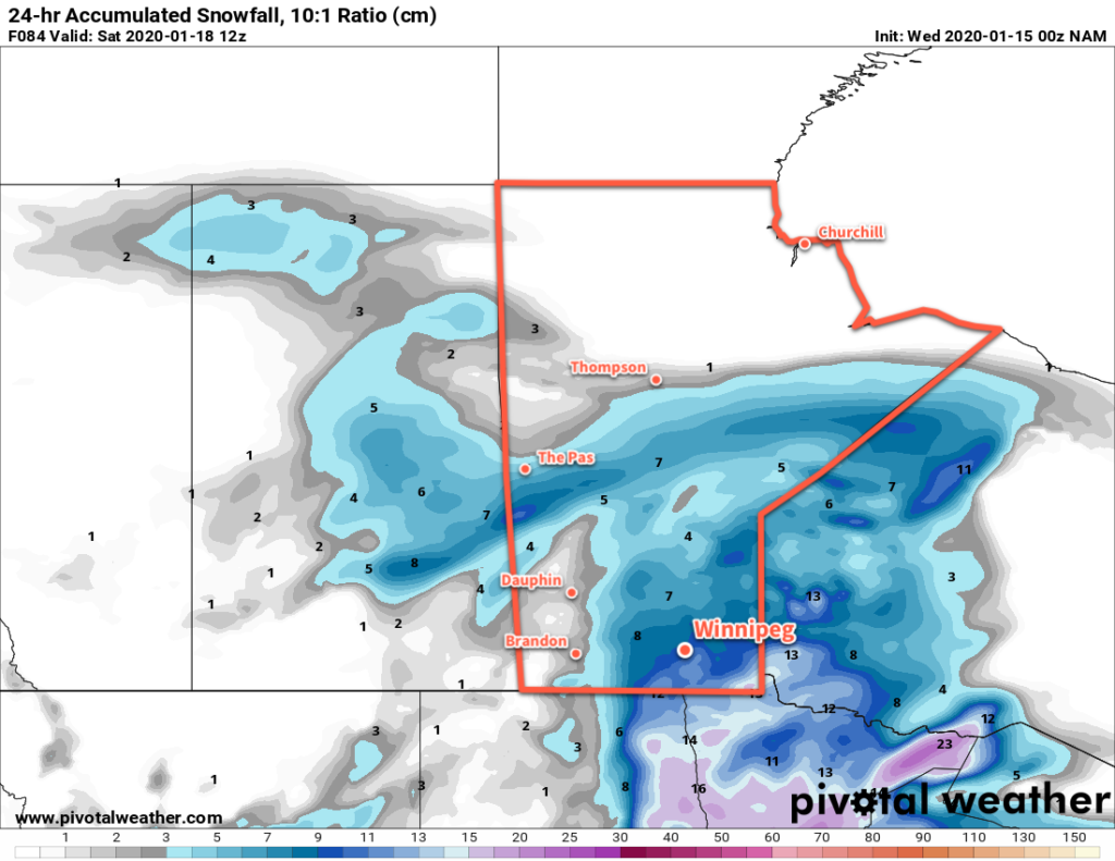
The wind will switch to the northwest on Friday night with temperatures dipping to a low near -17°C. Close to 10 cm of snow is possible in Winnipeg by Saturday morning from this system.
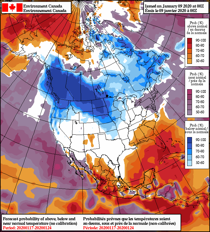
Long Range Outlook

The snow will taper off on Saturday with more seasonal temperatures returning to the region. Sunshine will return for Sunday and the start of next week as temperatures dip with highs dropping into the low minus teens. The cold will be short-lived, though, with near-seasonal temperatures expected to return mid-week.

Today’s seasonal daytime high in Winnipeg is -13°C while the seasonal overnight low is -24°C.

Cold Friday Followed by Cloudy and Milder Weekend

A passing low will delay Winnipeg’s upcoming cold snap for the weekend, but the coldest weather of the season arrives next week.

An approaching Arctic ridge will bring sunny skies and seasonably cool temperatures to the region today. Winnipeg will see a high near -18°C with westerly of 20 to 30 km/h will result in wind chills near approaching -30 for much of the day. The winds will drop off this evening followed by temperatures dropping to a low near -30°C.

Hot on the heels of the Arctic high, another low pressure system will begin crossing the Prairies on Saturday. This system will spread cloud into the Red River Valley through the day alongside southeasterly winds of 20 to 30 km/h. Temperatures will climb slightly higher than Friday to around -16°C, but that wind will still make it feel rather cool with a wind chill near -25. The winds will persist through the night near 20 km/h with temperatures hovering near -15°C.

RDPS 2m Temperature Forecast valid 12Z Saturday January 11, 2020
Temperatures in southern Manitoba will dip to -30°C or colder early Saturday morning.

Skies will stay cloudy on Sunday with temperatures climbing to a high near -12°C as the southwesterly winds slowly taper off. There will be a chance of flurries through the day, but by the time this low is arriving here it will be increasingly cut off from any moisture sources and be in the process of snowing itself out. The winds will die off in the evening as temperatures head to a low near -15°C.

Long Range Outlook

The seasonably mild conditions will stick around for Monday as another disturbance rolls through the region, possibly bringing some light snow. After it passes on Monday night, a potent Arctic high will slide south along the Rocky Mountains with broad ridging extending eastwards across the Prairies.

NAEFS 8-14 Day Temperature Anomaly Forecast — Valid January 17, 2020 to January 24, 2020
Long-range outlooks show a prolonged period of below-normal temperatures developing over the Canadian Prairies.

While Manitoba may avoid the coldest temperatures – they will be further west closer to the Rockies – it will still be a pronounced cold snap. Daytime highs will drop into the -20s (possibly even the low minus 20s) for much of the week. Some moderation looks possible with a low passing to the south on the weekend, but an even stronger push of cold air will likely move into the eastern Prairies after it passes. It’d be a good time to make sure your vehicle’s block heater is working and that your long johns are ready to go! Stay warm out there.

Today’s seasonal daytime high in Winnipeg is -13°C while the seasonal overnight low is -24°C.

Snowy Transition Into the Deep Freeze

A disturbance tracking through Manitoba will bring accumulating snow tonight followed by much colder temperatures.

It will be a seasonably cool day in Winnipeg today with a high near -16°C as clouds spread into the region ahead of the approaching disturbance. Winds will pick up out of the southeast this afternoon to 30 gusting 50 km/h, producing uncomfortable wind chills in the -25 to -30 range. Snow will spread across the Red River Valley later this afternoon, but will stay light until the evening. Temperatures will continue to rise through the night as the wind gradually eases.

Skies will stay cloudy on Thursday as the snow tapers off through the day. Winnipeg will likely end up with a total of 10 to 15 cm of fresh snow from this system. Temperatures will climb a bit to a high near -11°C. The cloud cover will begin to break up on Thursday night with winds picking up out of the west to around 20 km/h. Temperatures will head to a low near -22°C.

NAM 24hr. Snowfall Accumulation (10:1 Ratio) valid 21Z Thursday January 9, 2020
Southern Manitoba will see a widespread accumulating snow Wednesday night into Thursday with some areas receiving as much as 10 to 15 cm.

The sun will return on Friday, but unfortunately it’s because of a large Arctic ridge moving into the province. As a result, Winnipeg will see seasonably cold temperatures with a high of only -18°C. Those westerly winds will continue for much of the day, gradually diminishing through the latter half of the afternoon. Skies will be partly cloudy over the region for much of the day, but will clear completely for Friday night. With calm winds, temperatures will head to a low near -30°C.

Long Range Outlook

The cold weather will be sticking around for a while. Highs will generally be well below seasonal averages through the next week, except for Sunday when a passing low brings near-seasonal temperatures for a day. The sun should be around for Saturday, but it looks like mixed to cloudy conditions will develop for the end of the weekend through the first half of next week.

Today’s seasonal daytime high in Winnipeg is -13°C while the seasonal overnight low is -24°C.

Cooler With Mid-Week Snow

Temperatures will cool to seasonably cool values in Winnipeg after the passage of a low pressure system on Monday. An accumulating mid-week snowfall will then lead to even colder temperatures heading into the weekend.

Winnipeg will enjoy sunny conditions for much of today with temperatures climbing to a high near -2°C. Winds will pick up out of the south-southwest to around 30 km/h midday, then shift west-northwest by the evening to 40 gusting 60 km/h. This wind shift will bring more cloud into the region along with flurries that will persist for much of the night. A cold front passing through overnight will shift the winds solidly northwest and send temperatures to a low near -18°C Tuesday morning. The flurries will taper off sometime late overnight or early Tuesday.

RDPS Forecast 10m Winds valid 21Z Monday January 6, 2020
Moderate west-northwest winds will spread into the Red River Valley again on Monday.

Through the day on Tuesday, a sprawling Arctic high will build into the eastern Prairies. The northwest winds near 30 gusting 50 km/h will continue into the afternoon before gradually diminishing as the high arrives. Temperatures will be much cooler in Winnipeg than the values seen lately with a high near -16°C. Temperatures will dip to a low near -26°C on Tuesday night with light winds under mainly clear skies.

On Wednesday, a sunny start to the day will bring increasing cloudiness through the afternoon. A low pressure system moving into the U.S. will push an inverted trough across southern Manitoba on Wednesday night. As it approaches on Wednesday afternoon, winds will pick up out of the southeast to 30 to 40 km/h as temperatures climb to a high near -16°C. The windy conditions, combined with fairly cold temperatures, will result in some blowing snow through the Red River Valley, but the severity will be significantly limited by minimal snow cover in some areas. Snow will begin late in the afternoon and continue for most of the night.

NAM Forecast 1km Reflectivity with Precipitation Type valid 03Z Thursday January 9, 2020
A broad area of moderate snow will spread across southern Manitoba on Wednesday evening.

Accumulations over an 18 hour period or so will reach up to 10–15 cm in the Red River Valley and 10–20 cm to the west-northwest over southwest and western Manitoba. Blowing snow may produce poor visibilities overnight as the moderate snow combines with the windy conditions.

Long Range Outlook

Seasonal temperatures will stick around for Thursday with a continued chance of flurries and cloudy skies. Clearing will begin pushing into the region on Thursday night, marking the arrival of a colder air mass. Daytime highs will drop into the -15 to -20°C range on Friday and stay there right into next week. Overnight lows will drop as well, varying through the -20 to -30°C range.

Today’s seasonal daytime high in Winnipeg is -13°C while the seasonal overnight low is -23°C.