Southern Manitoba will see humid conditions develop this weekend as a warm and unsettled pattern develops over the region.
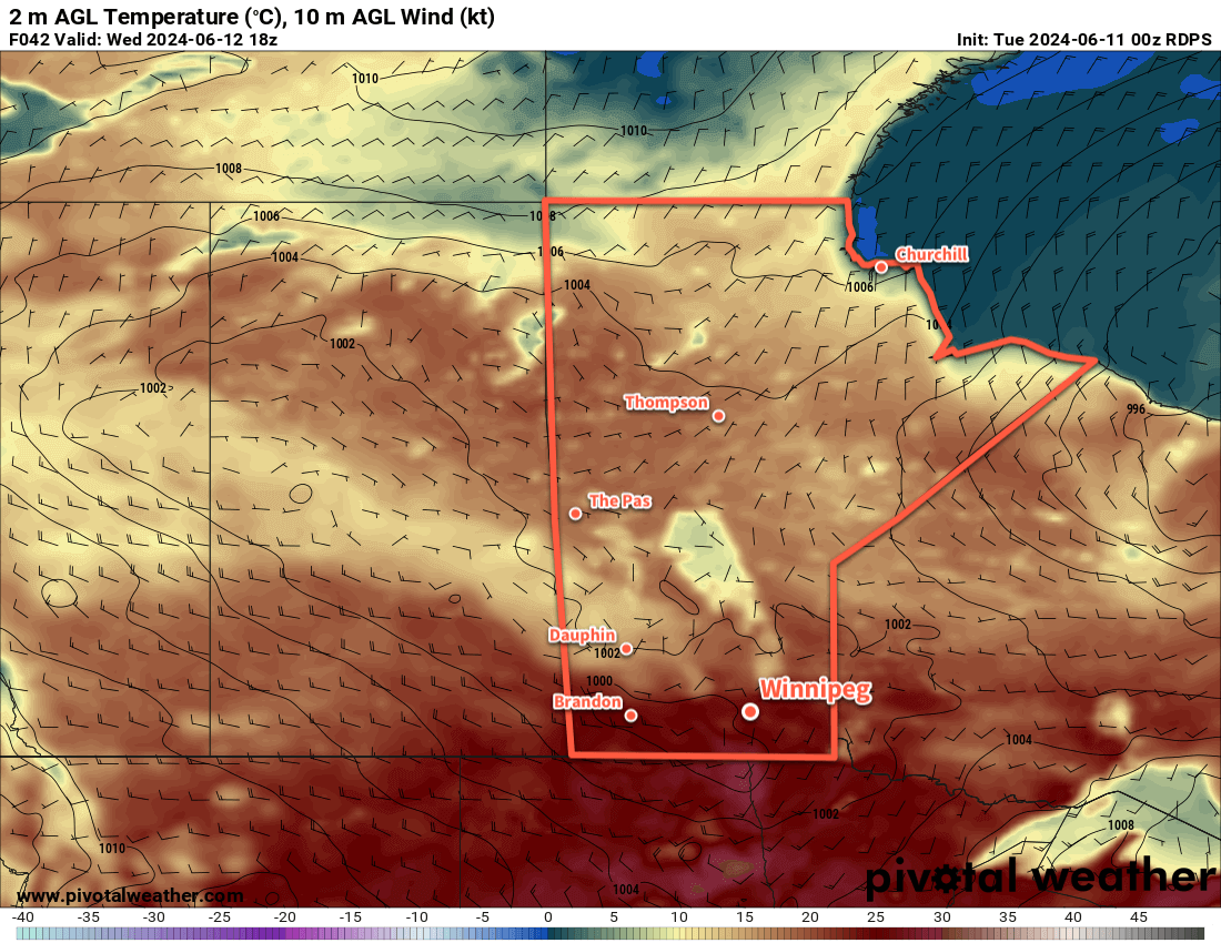
To end the work week, an area of high pressure will gradually shift east out of the province through the day. This will bring a warm and settled day to the region with a high in the 25 to 30 °C range and partly cloudy skies. Southerly winds will begin to pick up later in the day and mark the beginning of the weather pattern that will persist through the weekend.
An upper trough will dig southwards over western North America through the weekend; this will support a prolonged southerly flow at the surface while disturbances eject northeast across the region over the next few days.
Humid Weather Arrives This Weekend
The southerly winds at the surface will draw heat and humidity northwards through the weekend. Daytime highs won’t be excessive through the weekend, likely in the mid-20s, but the region will likely see its first surge of humid conditions.
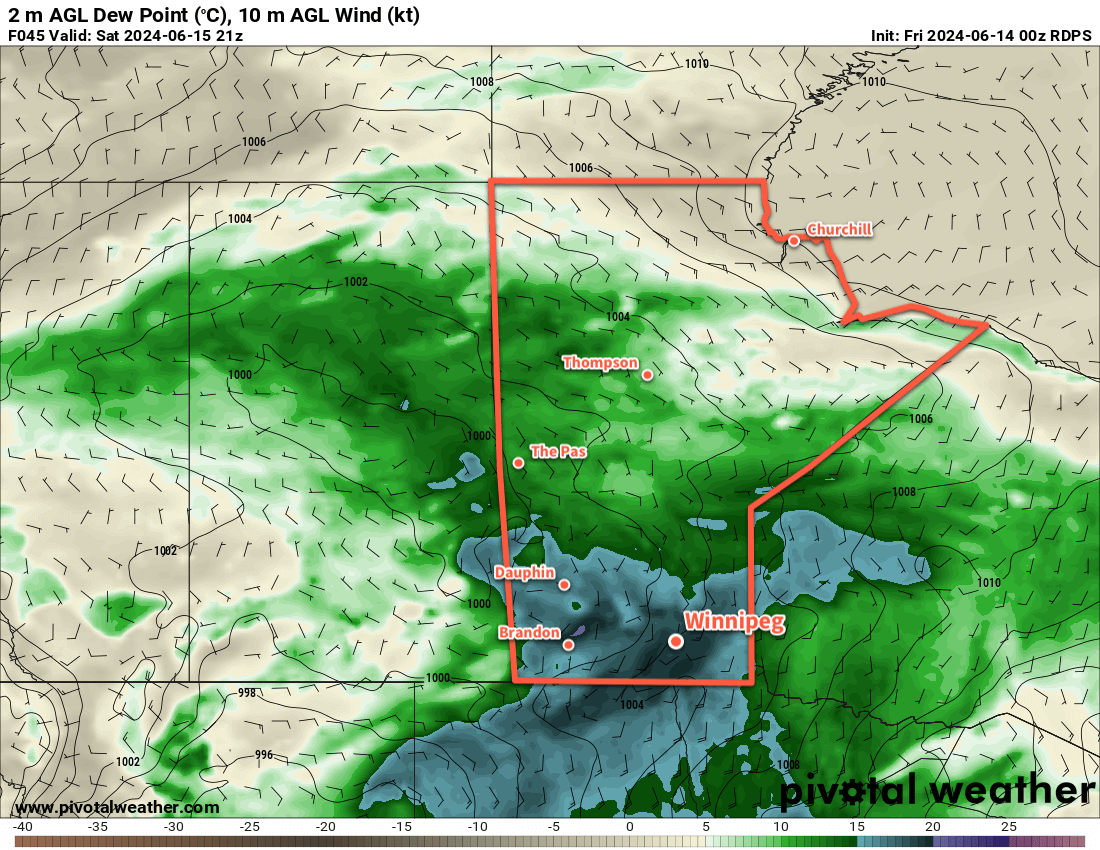
The humidity will be comfortable today with dew points in the low teens, but more humid conditions will quickly develop on Saturday. Dew point values will climb into the mid- to upper teens on Saturday, then hover in the 16 to 20 °C range overnight Saturday, then increase towards 20 °C ahead of a cold front on Sunday. As the cold front sweeps through on Sunday afternoon, drier air will sweep into the region and bring relief.
The humidity will keep temperatures warm on Saturday night with overnight lows in the 18 to 22 °C range across many parts of southern Manitoba.
Stormy Conditions Possible
Weather-wise, there will be several chances for stormy weather through the weekend. The first disturbance will be a weak area of low pressure that pushes into southern Manitoba tonight. Scattered showers and thunderstorms will be possible through the second half of the night into Saturday morning.
The activity will taper off on Saturday afternoon, then another disturbance will bring another chance of showers and thunderstorms to the region on Saturday evening and overnight. Sunday will be more settled, but there will be a low chance of showers or thunderstorms with the cold front as it sweeps east.
Long Range Outlook
Next week will start unsettled as the deep upper trough remains over western North America. Waves of rain and thunderstorms will be possible across southern Manitoba on Monday and Tuesday, then more settled conditions will move in for the middle of the week.
Today’s seasonal daytime high in Winnipeg is 23 °C while the seasonal overnight low is 11 °C.