Warming Up As Christmas Approaches

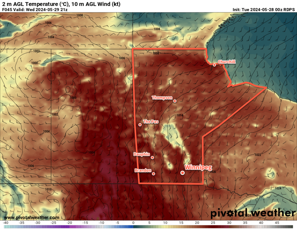
Temperatures in Winnipeg will climb back above freezing heading into to the weekend before Christmas.

RDPS 2m Temperature Forecast valid 21Z Friday December 22, 2023
Temperatures will climb back above freezing towards the end of the week in southern Manitoba.

The weather this week will be marked by the depature of an upper trough over the eastern Arctic and the re-establishment of a zonal flow over the Prairies. This will allow a Pacific air mass to gradually scour the cooler air out of the region, sending daytime highs warmer.

Today, the region should see a sunny start with cloud cover gradually pushing into the region through the afternoon. Temperatures should climb to a high around -2 °C this afternoon. Skies will be on the cloudy side to night as a cold front drifts southwards into the region with a low close to -10 °C.

Wednesday will bring cloudier skies as southerly winds pick up to around 30 gusting 50 km/h. Temperatures will be similar to Tuesday; although warmer air is moving in aloft, the surface winds will be a return flow sourced from a departing area of high pressure. Skies will begin to clear out on Wednesday night with temperatures likely steady around -3 °C as a warm front lifts through the region.

The sun will reappear on Thursday as winds ease behind the warm front. Temperatures will climb close to the freezing mark in the afternoon, then drop just a few degrees on Thursday night. Friday will be, more or less, a repeat of Thursday with sunshine, highs near freezing, and light winds.

Long Range Outlook

Heading into the weekend, a deep southerly flow will send temperatures back above freezing as a low pressure complex devleops to the west. Temperatures will likley climb a few degrees above freezing on Saturday and then dip a bit below freezing as skies cloud over on Saturday night.

Christmas eve will likely bring cloudy skies and a high near freezing as a cold front slowly slides eastwards across the province.

For Christmas Day, Winnipeg should be on the back-side of the cold front. This will mean northerly winds and highs back down in the mid-minus single digits. The region could see some sun through the day as well.

That said, there’s no major cold outbreak on the horizon. Next week looks to stabilize in seasonably mild conditions heading into the last days of the month. No notable snowfall is expected in the next 5 to 10 days.

Today’s seasonal daytime high in Winnipeg is -11 °C while the seasonal overnight low is -21 °C.

No End to the Mild Weather in Sight

The mild weather will continue in Winnipeg with nothing but seasonal to above-seasonal temperatures in the forecast.

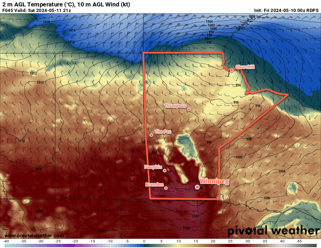
RDPS 2m Temperature Forecast valid 18Z Sunday December 17, 2023
A cold front dropping southwards will bring seasonal temperatures back to southern Manitoba…briefly.

A combination of two large-scale pattern features will keep winter at bay over the southern Prairies over the coming week. First, persistent troughing over the eastern Pacific is supporting a general ridging pattern not only over the west coast, but also into the Rockies as well. Secondly, the Polar Vortex remains locked away further north over Baffin Island rather than being positioned in its usual spot over Hudson Bay for this time of year. These two things, working in tandem, are supporting a pattern that keeps the colder winter air locked up well into the Arctic while surges of milder Pacific air repeatedly wash over the Prairies. Little change to this broad, large-scale pattern is in the forecast.

As a result, Winnipeg will continue to see, mostly, more of the same. Today will bring mixed to cloudy skies as an upper trough moves through the region with a high just shy of 0 °C. Skies will clear overnight with temperatures heading to a low in the -10 to -15 °C range. On Saturday, sunshine returns to the region as more warm air pushes across the Prairies. Temperatures will again climb to a high in the -5 to 0 °C range. As a frontal wave drops into central Manitoba, the Red River Valley will see increasing cloudiness heading into Saturday evening.

The warmer air will move through overnight, resulting in a mild low only around -5 °C on Saturday night under mostly cloudy skies.

On Sunday, temperatures will stay more or less steady as a cold front sweeps into the region. Winnipeg should see mixed skies with northwest winds picking up to 30 gusting 50 km/h for the afternoon. Heading into Sunday night, the winds will ease as temperatures head back to a low in the -10 to -15 °C range.

Some flurries are possible with the passage of the cold front, but no accumulating snow is expected.

Long Range Outlook

Next week will start off a bit cooler than this week with highs likely in the -10 to -5 °C range, but warmer weather is forecast to push back into the region through the second half of the week. Heading into the days before Christmas, daytime highs could be back up above freezing.

The question abounds on whether or not it will be a white Christmas in Winnipeg. While it doesn’t look like we’ll be seeing enough warmth to get rid of the existing snowpack, odds are there isn’t going to be much snow for Christmas. We’ll see if any notable snow enters the forecast in the days right before the holiday, but if the forecast holds, you may have to find replacement activities for any sledding or skating traditions!

Today’s seasonal daytime high in Winnipeg is -10 °C while the seasonal overnight low is -20 °C.

Mild Weather Returns to Winnipeg

Another surge of Pacific air will spread across the Prairies this week, bringing above-seasonal temperatures back to the region.

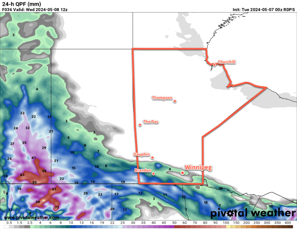
RDPS 2m Temperature Forecast valid 21Z Thursday December 14, 2023
Mild temperatures will spread back across southern Manitoba by Thursday.

There will be one more day of near-seasonal temperatures in Winnipeg before warmer weather arrives. For today, a ridge of high pressure moving across the region will bring partly cloudy skies with a high around -6 °C. Temperatures will dip back down to around -10 °C tonight with clear skies.

Heading into mid-week, southerly winds will pick up across the region; winds on Wednesday will increase into the 30 to 40 km/h range with a daytime high in the -3 to 0 °C range. Temperatures will stay fairly steady on Wednesday night, followed by a high a couple degrees above freezing on Thursday. The southerly winds will finally taper off on Thursday evening.

Winnipeg will see sunny to mixed skies through this time. On Thursday night, more cloud is likely along with a chance of flurries as a disturbance moves through the region.

Long Range Outlook

Temperatures will stay mild through the weekend with highs near freezing and lows close to -10 °C. Next week, temperatures look to trend back towards seasonal values with no notable snowfall on the horizon.

Today’s seasonal daytime high in Winnipeg is -9 °C while the seasonal overnight low is -19 °C.

Winter Returns to Winnipeg

A low pressure system moving through the province will bring snow, falling temperatures, and strong winds to the Winnipeg area later today.

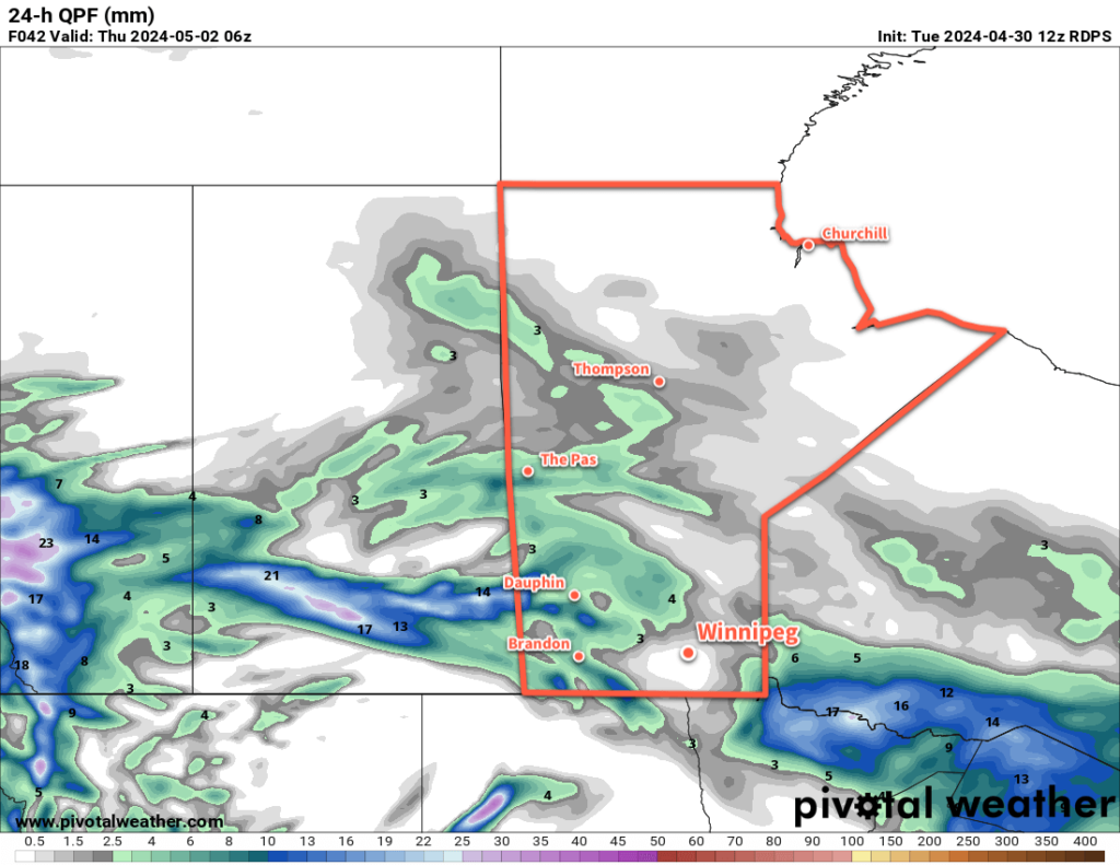
ECMWF 24hr. Snowfall Accumulation Forecast valid 12Z Saturday December 9, 2023
While as much as 10 to 15 cm of snow is possible later today in the Red River Valley, melting during the early parts of the event should reduce the snow accumulation into the 5 to 10 cm range for most places.

Today will be another mild day as Winnipeg finds itself in the warm sector of an approaching low pressure system. Skies will be cloudy today with a chance of a rain shower or drizzle mas temperatures climb above freezing midday. Later this afternoon, snow will begin to push across the Red River Valley as the low tracks to the east. Temperatures will dip just below freezing and the snow will likely start to pile up by late in the afternoon.

The evening will bring more snow and increasing northerly winds. Northerly winds will reach 30 gusting 50 by this afternoon, then strengthen to 50 gusting 70 km/h in the evening. Coupled with the snow and falling temperatures, it will make for poor travel conditions on area roads. Snow will pile up, surfaces will begin to freeze, and areas of blowing snow will reduce visibilities further.

The snow will taper off overnight, leaving behind about 5 to 10 cm accumulation. Temperatures will dip to a low in the -5 to -10 °C range.

The clouds will begin to break up on Saturday, bringing a bit of sun back to the region. The northerly wind will ease through the day, from 40 gusting 60 km/h in the morning to calm by evening. Although it will be a cooler day, a high near -6 °C will still be warmer than the seasonal average.

Temperatures will dip down into the -10 to -15 °C range on Saturday night with partly cloudy skies.

Sunday will bring mixed skies to the region again with a seasonal daytime high around -8 °C.

Long Range Outlook

Heading into next week, another upper ridge will build over the west coast and spread eastwards, bringing another wave of Pacific air into the Prairies. This will warm temperatures up, but exactly how much will depend significantly on the snowpack. At this point in the year, with a very shallow sun angle, a solid snowpack could more or less isolate the surface from the warmer air above.

We’ll have to wait and see…but the push of milder air does look like it will likely last well into the second half of the week. It’s hard to believe that temperatures will be able to climb too much if the entire Red River Valley ends up filled with snow in December, but stranger things have happened.

Either way, just a couple weeks out from the shortest day of the year and there are still no -30s in the Winnipeg forecast.

Today’s seasonal daytime high in Winnipeg is -9 °C while the seasonal overnight low is -18 °C.