Beautiful summer weather will continue in Winnipeg, though a disturbance passing mid-week could bring showers to the region.
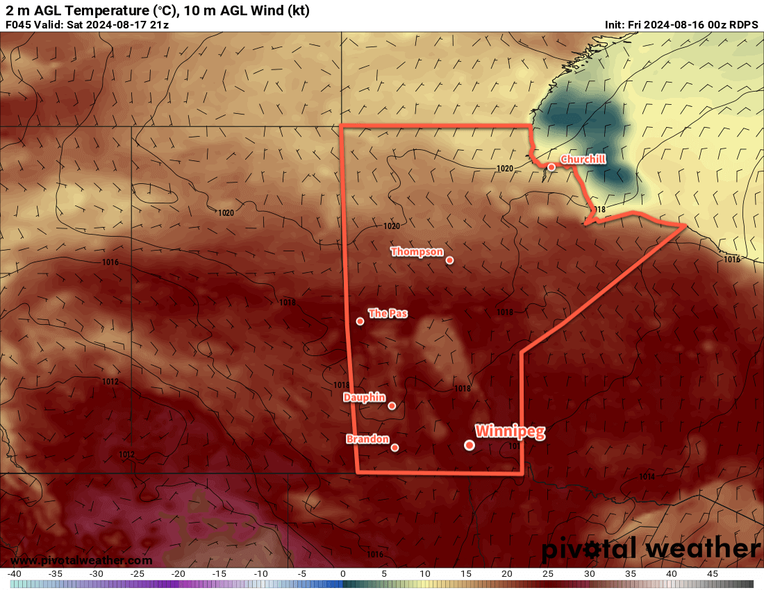
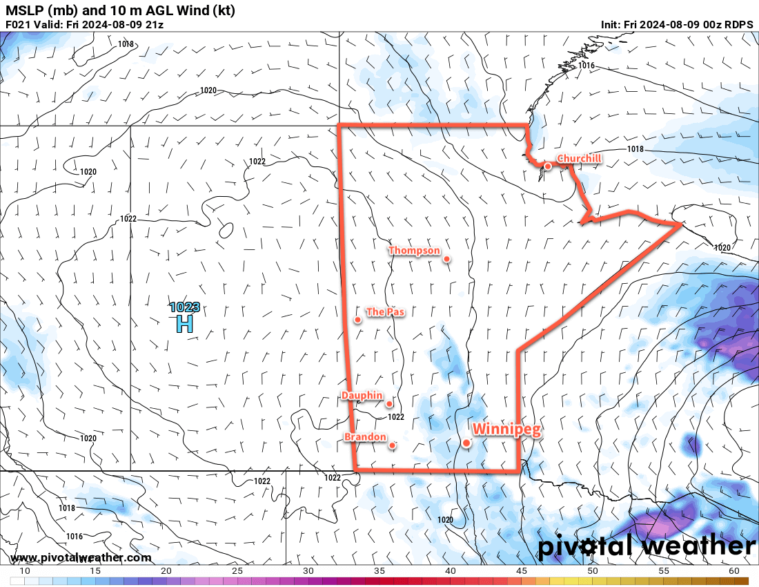
Warm and sunny weather will continue in Winnipeg thanks to an upper ridge that remains in place over the region. This will leave Winnipeg today in a southerly flow between an area of high pressure over NW Ontario and a developing area of low pressure in southern Alberta.
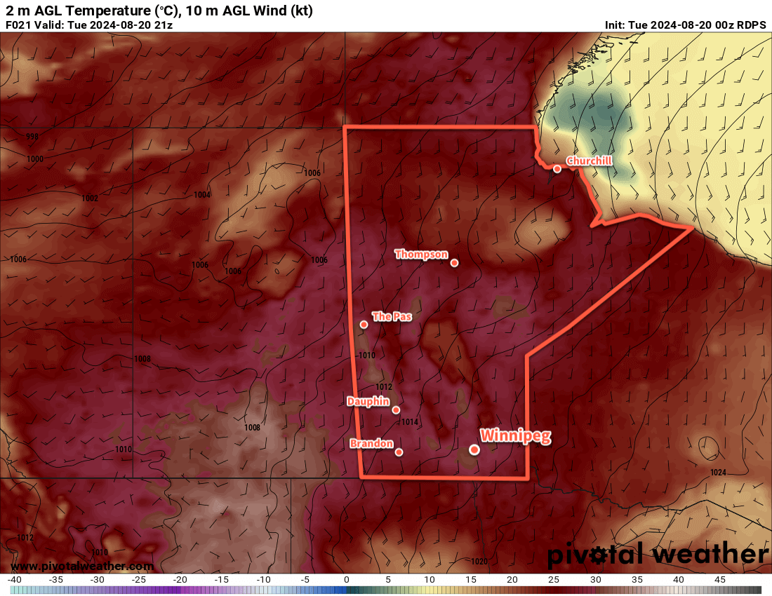
As a result, it will be another hot day in Winnipeg as temperatures climb to the 30 °C mark with southerlies up to around 20 km/h. Skies will become mixed today as cloud cover left over from a disturbance in Saskatchewan drifts through the region. Temperatures will dip into the mid-teens tonight with light winds and a few clouds.
Wednesday will be another pleasant day with temperatures climbing up into the upper 20s and southerlies up into the 20–30 km/h range. A mainly sunny start to the day will give way to a few clouds in the afternoon. All in all, a beautiful day.
Wednesday night will bring a change in the weather as a low pressure system begins to track east across the Prairies. It will spread cloud into Winnipeg on Wednesday night with lows down to around 20 °C.
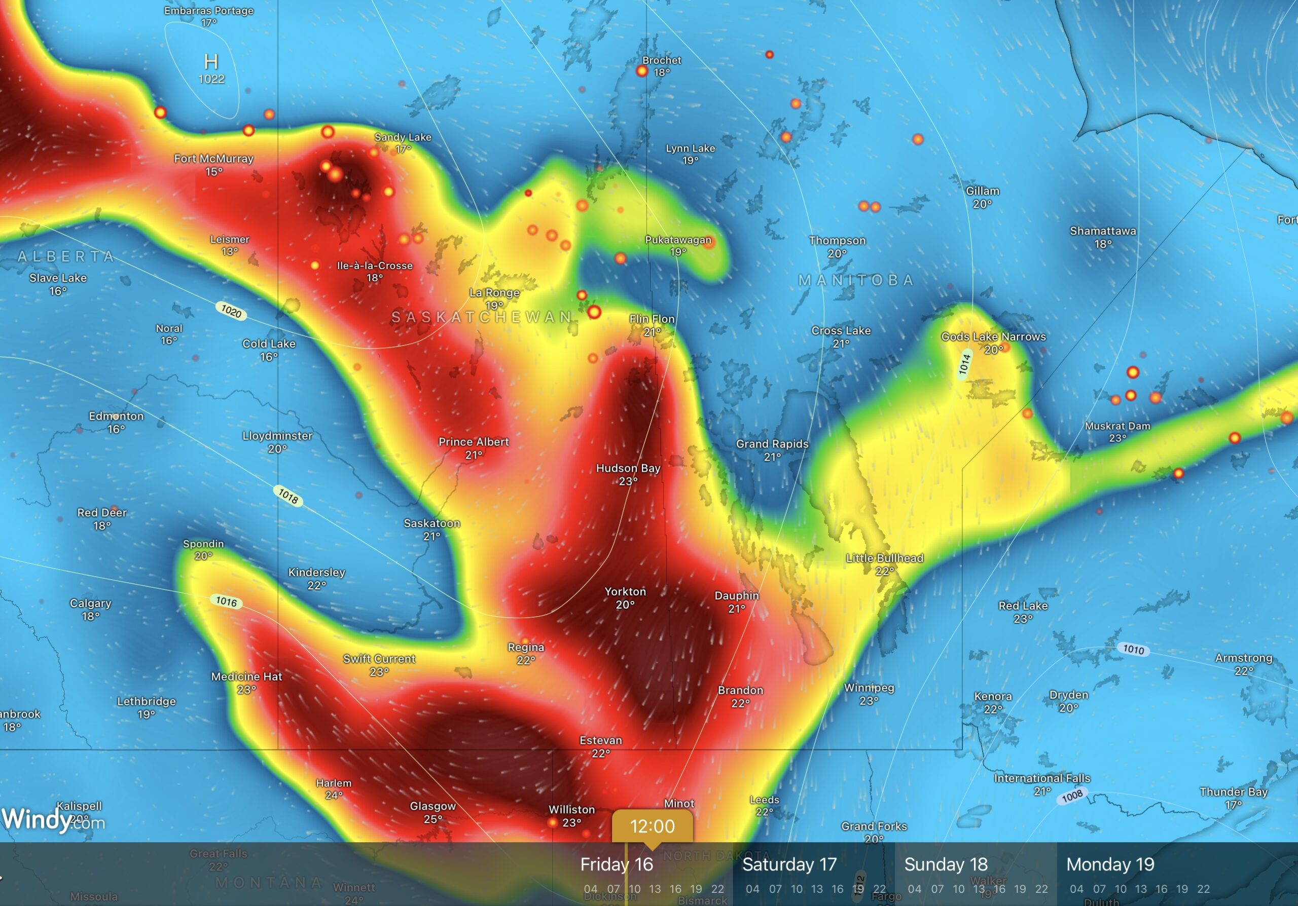
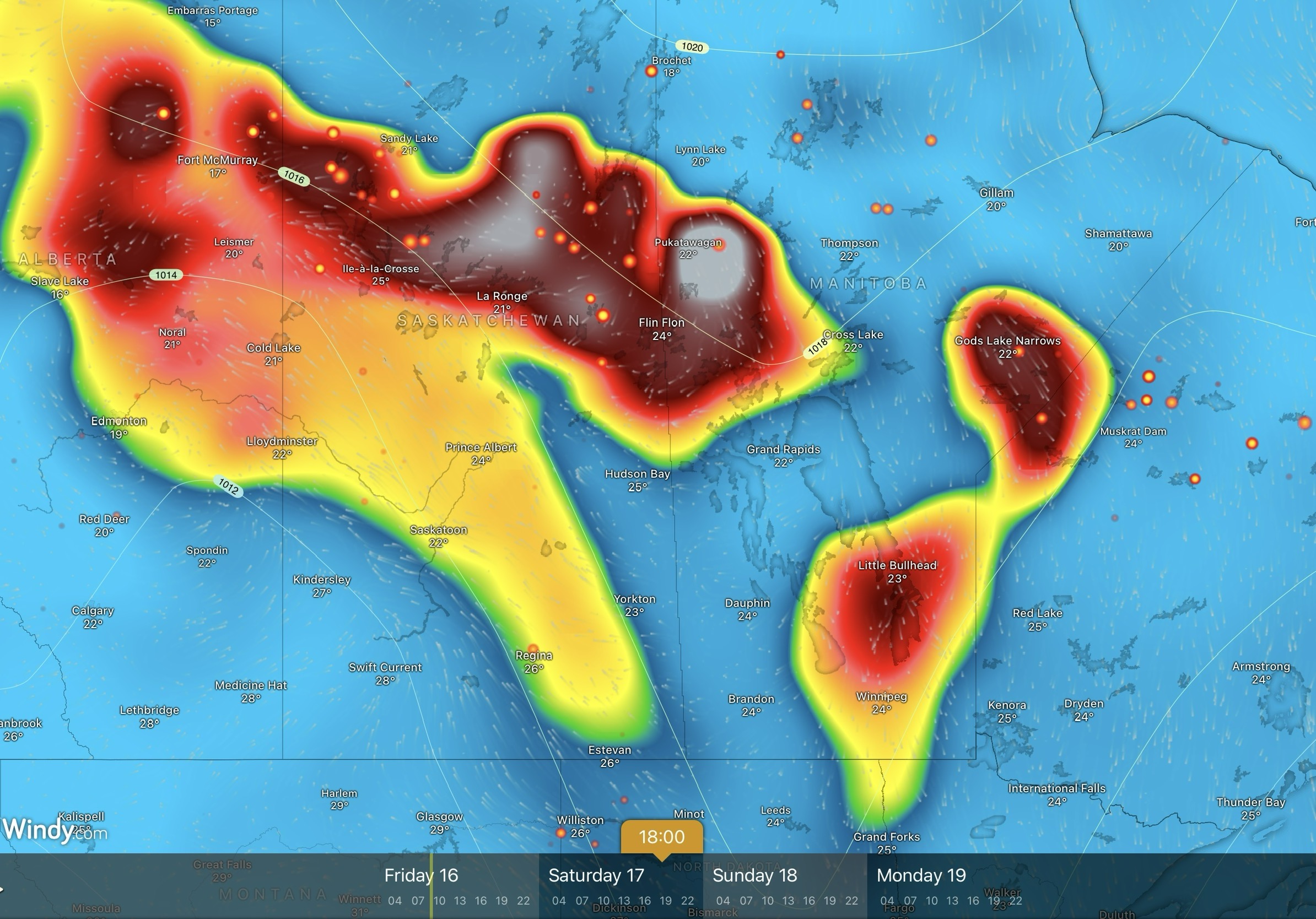
Thunderstorms will likely develop along this system’s warm-sector trough on Wednesday night, beginning over Montana and southern Saskatchewan and pushing into Manitoba in the early morning hours.
This will bring a chance of showers or thunderstorms to the Winnipeg area on Thursday morning. The chance will steadily s drop from mid-day onwards with sunny breaks developing in the afternoon. Southerly winds up to around 20 km/h will shift southwesterly by the end of the day. The cloud cover will keep temperatures cooler with a high in the mid-20s.
Long Range Outlook
Summer heat will return to end the week with daytime highs near 30 °C on Friday through Sunday. Dew point values will persist in the upper teens, making for slightly muggy conditions that feel closer to the mid-30s. And to top it off, Winnipeg should see plenty of sunshine throughout the weekend!
Enjoy that summer warmth while it’s here!
Today’s seasonal daytime high in Winnipeg is 24 °C while the seasonal overnight low is 11 °C.
#awm_rain #awm_thunderstorms #mbstorm #Winnipeg