One last band of showers will move through on Tuesday evening, capping off a cool June day. Fortunately, warmer weather will return for the rest of the week.
Another upper-level disturbance will cross southern Manitoba later today and bring another wave of showers across the Red River Valley. This will cap off a day where temperatures struggle to get past the mid-teens as northerly winds and cloudy skies stay entrenched over the area.
Fortunately the winds will ease tonight with clearing skies as a broad area of high pressure spreads east across the Prairies. Temperatures will dip down into the 5–10 °C range once the showers clear out.
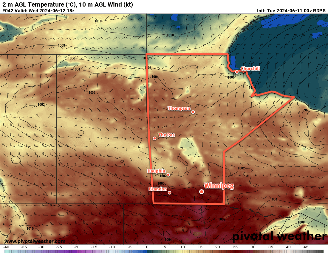
For Wednesday and Thursday, more pleasant conditions will return as a west-southwest flow redevelops across the region. Daytime highs will climb into the low 20s on Wednesday, then into the mid-20s for Thursday. Winds will pick up out of the west into the 20–30 km/h range on Wednesday, ease, then pick up out of the south into the 20–30 km/h range on Thursday.
Both days will bring a slight chance of showers or thunderstorms to the region, but they will likely be focused along a west-east trough line that will likely set up from western Manitoba across the southern Interlake region. It’s unlikely that Winnipeg will see any of that activity and both days should be pleasant in the city.
Long Range Outlook
Looking further ahead, cloudier skies will likely return to the region on Friday. A deep upper trough developing over western North America will support the development of a low pressure system over the American Plains that will then lift northeast later Friday into the weekend.
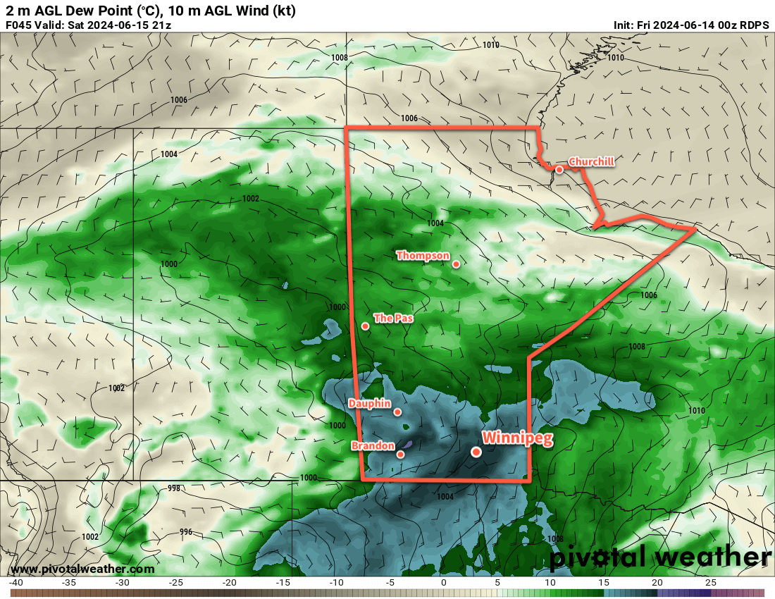
This system would likely bring a wave of thunderstorms and showers to southern Manitoba on Friday night into Saturday, with the worst weather ending Saturday morning and cooler, showery conditions possible afterwards.
Daytime highs would likely sit in the mid-20s on Friday, drop to around 20 °C on Saturday, then bounce back up to the mid-20s on Sunday. This system could produce another notable rainfall across southern Manitoba with localized accumulations of 30 to 60 mm possible.
Sunshine should return on Sunday, making for a nice end the weekend!
Today’s seasonal daytime high in Winnipeg is 24 °C while the seasonal overnight low is 11 °C.