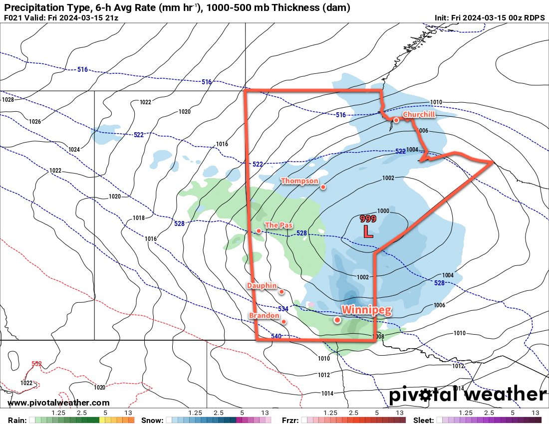
The Winnipeg area will see a chance of light snow today as a Colorado Low lifts into northwest Ontario. Once it passes, the region will move into a gradual warming trend towards Spring weather.
It will be a cool day in Winnipeg today with daytime highs barely reaching the seasonal overnight low for this time of year. Northerly winds up to 40 gusting 60 km/h will drive this cooler air southwards through the day, limiting Winnipeg’s high to around -7 °C. This will be accompanied by cloudy skies and a chance for light snow; a Colorado Low lifting through NW Ontario will spread light snow into eastern Manitoba, but this far west it will struggle against drier air undercutting it. We’ll likely see flakes through the day, but accumulations should be minimal.
A ridge of high pressure will continue to push colder air into the region on Tuesday night, but cloud cover will moderate the overnight low. Those northerly winds will gradually ease overnight as temperatures head to a low in the -15 to -10 °C range.
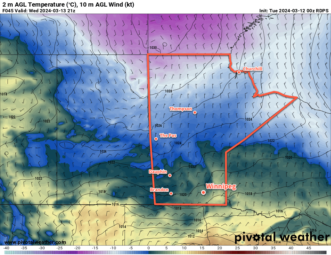
Skies will stay cloudy on Wednesday as the low departs NW Ontario and the surface ridge moves in. Temperatures will rebound to a high near -5 °C with northerly winds of 30 gusting 50 km/h easing later in the day. Skies should clear out on Wednesday night with temperatures dropping into the -20 to -15 °C range as the ridge of high pressure moves in.
The region will see sunny skies on Thursday as warmer temperatures slowly move back into the region on the backside of the departing high. Winnipeg should see a high in the -5 to 0 °C range on Thursday afternoon and a low near -10 °C on Thursday night.
Long Range Outlook
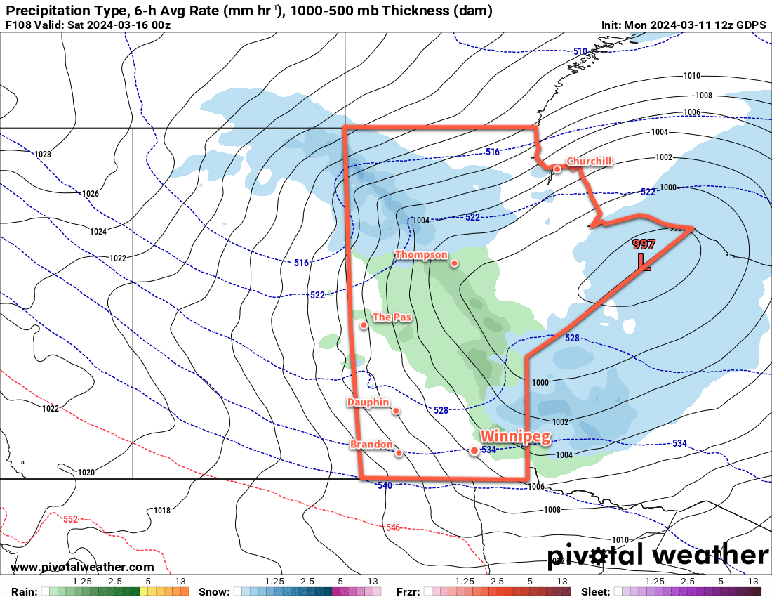
The end of the week and the weekend will start with a chance of light snow as the stagnant pattern over the region breaks down and a disturbance crosses the southern Prairies. Daytime highs will creep above freezing, though, and in Winnipeg little accumulation is likely. Sunshine should return to the region on Sunday with a high in the 0 to +5 °C range.
Heading into next week, a couple disturbances will slump through Manitoba as a broader push of warm air occurs. This will bring a slight chance of snow or rain, depending on its timing, in the first half of the week. Daytime highs will climb into the 5 to 10 °C range and stay there while overnight lows vary from -10 to 0 °C.
A low pressure system crossing the Prairies mid-week could even bring daytime highs in the 10 to 15 °C range! The warmth will melt the snow left in the city and, combined with the strengthening sun, will likely shift the region into steadier Spring weather.
Today’s seasonal daytime high in Winnipeg is +3 °C while the seasonal overnight low is -8 °C.