After the scorching heat last week in the Winnipeg region, it might seem like this week will be cooler with highs of only the upper 20s. That slight cooling will be offset by more humidity in the region, with humidity levels possibly reaching downright muggy levels by Friday.
It will be another unsettled day in the Winnipeg area thanks to a shortwave lifting across the region from the Dakotas. As it moves into the warm and relatively humid air mass in our region, scattered showers and thunderstorms will once again develop. These will persist through the afternoon and into the evening before tapering off. The city will see a high in the mid-20s give way to an overnight low in the mid-teens.
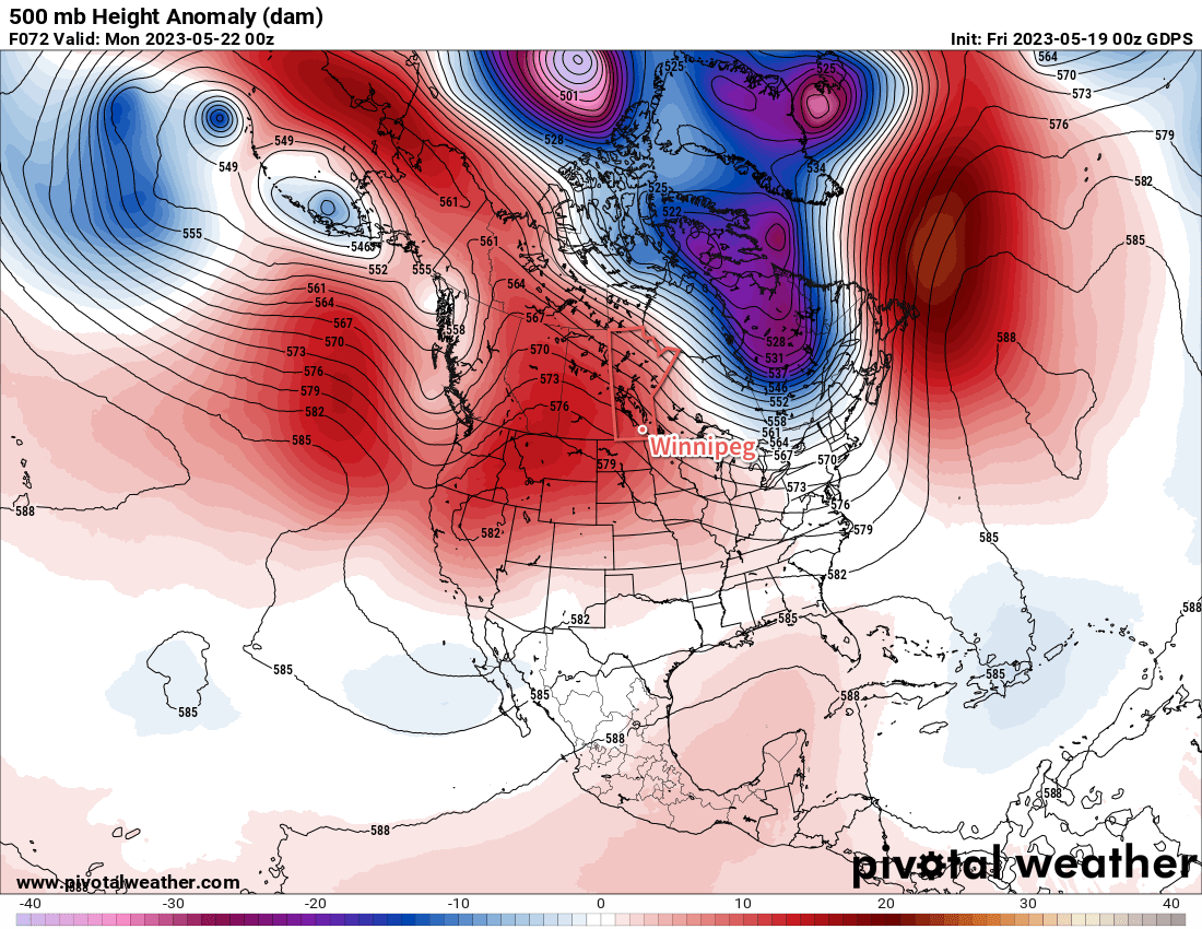
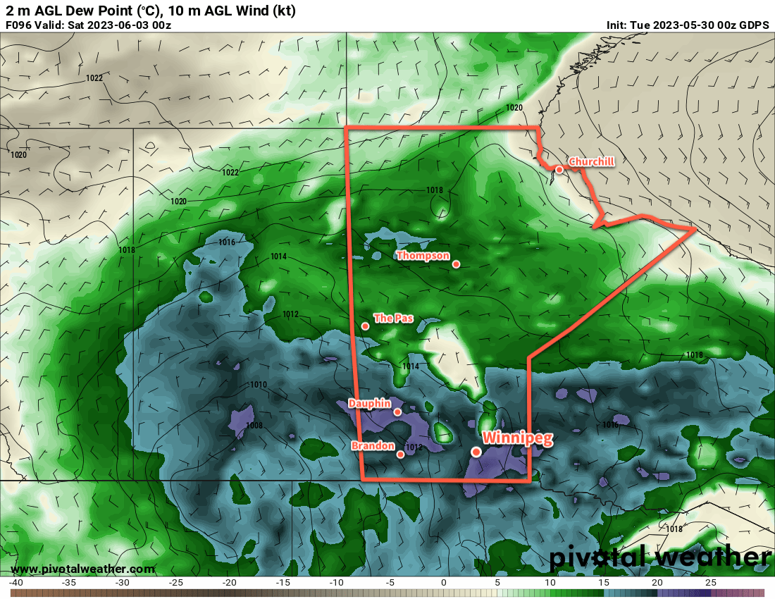
Heading into mid-week, an upper ridge will begin to build over Central Canada. It will bring warmer temperatures to the region while also supporting a deep southerly flow from the Gulf of Mexico northwards through the American Plains. Daytime highs will rise into the upper 20s, but at the same time, an increasingly muggy air mass will build northwards. Dew point temperatures will increase from around the mid-teens to close to 20 °C by Friday. This will make for very muggy conditions to end the week that will make the highs in the upper 20s feel more like the mid-30s.
Along with the heat and humidity will come some unsettled conditions as well. Isolated to scattered [thunder]showers may be possible as the week progresses.
Long Range Outlook
Very warm conditions will return for the weekend with daytime highs likely climbing into the low 30s. If the humidity remains high, then it would almost certainly result in another heat warning for Winnipeg and the Red River Valley. Again, though, it won’t be completely stable and some showers or thunderstorms will be possible through the weekend.
More settled conditions will return next week as the humidity begins to leave the region. With a drier air mass, highs will hover in the upper 20s with overnight lows in the mid-teens through the first half of next week.
Today’s seasonal daytime high in Winnipeg is 22 °C while the seasonal overnight low is 8 °C.