Warm weather will continue this week as temperatures remain well above seasonal values.
The Week Ahead
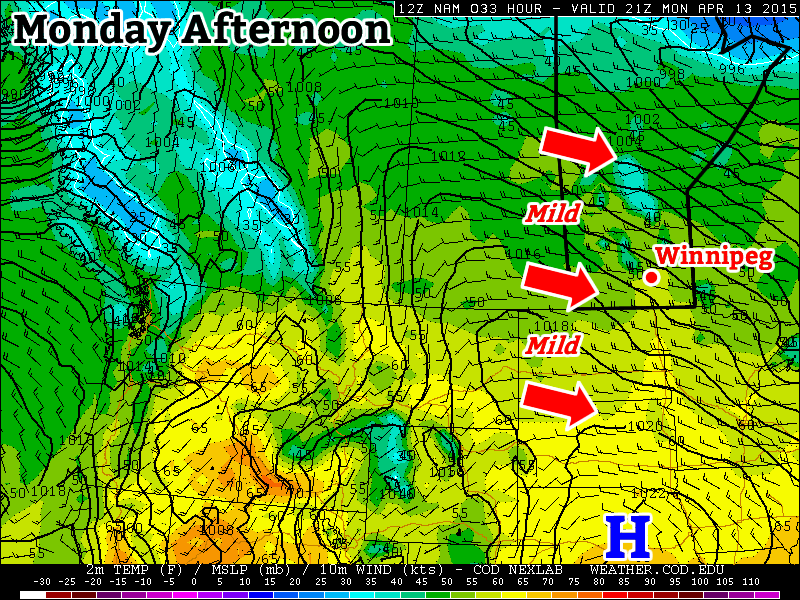
Monday
Today will be mild, but breezy. High temperatures will sit in the low teens with a gusty west wind. Skies should remain mainly sunny, making for a generally nice day.
Tuesday
A developing low pressure system to our west will give us south-easterly winds for Tuesday. This southerly flow will also draw up some warmer air, pushing high temperatures into the upper teens. Skies are expected to be a mix of sun and cloud as an upper disturbance passes through the region.
Wedensday
Wednesday looks to be the warmest day of the week as high temperatures climb into the 20s once again. These warm temperatures will be the result of a stiff southerly flow ahead of an approaching low pressure system. Skies are expected to be mainly sunny, but with a gusty south wind.
Long Range
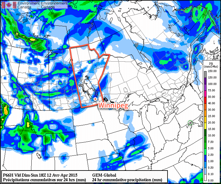
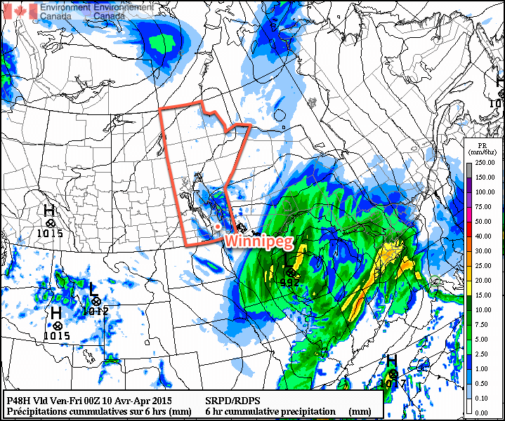
The long range forecast continues to look warm. However, a cold front will pass through southern Manitoba late on Wednesday, ushering in slightly cooler conditions for Thursday. Medium-range models suggest that above-normal weather will stick around until at least the beginning of the weekend, which will mean high temperatures remaining well into the teens. Further out in the long range it appears another cold front may pass through later on the weekend, which may cool us down temporarily, but it’s too soon to say for sure.