After an extended period of benign weather, it looks like its going to get busier over southern Manitoba. A trio of disturbances are poised to bring snow to the region back-to-back-to-back over the next few days.
Before it all begins, though, Winnipeg will see a cool but pleasant day. Temperatures will climb close to the -10 °C mark with increasing cloud cover through the day. Winds won’t be too bad, either, persisting out of the northeast near 20 km/h. The region will see cloudy skies tonight with a low in the mid-minus teens.
The action begins tomorrow in what is, at the end of the day, a bit of a complicated setup.
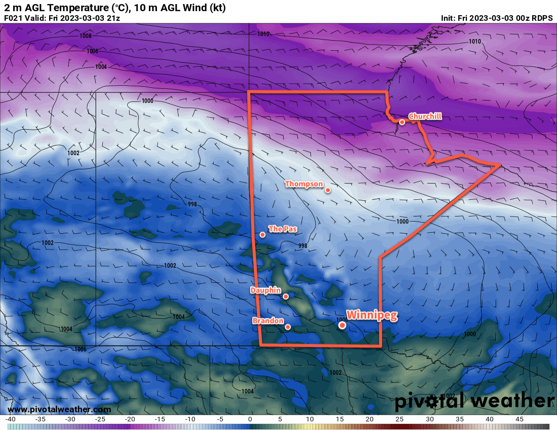
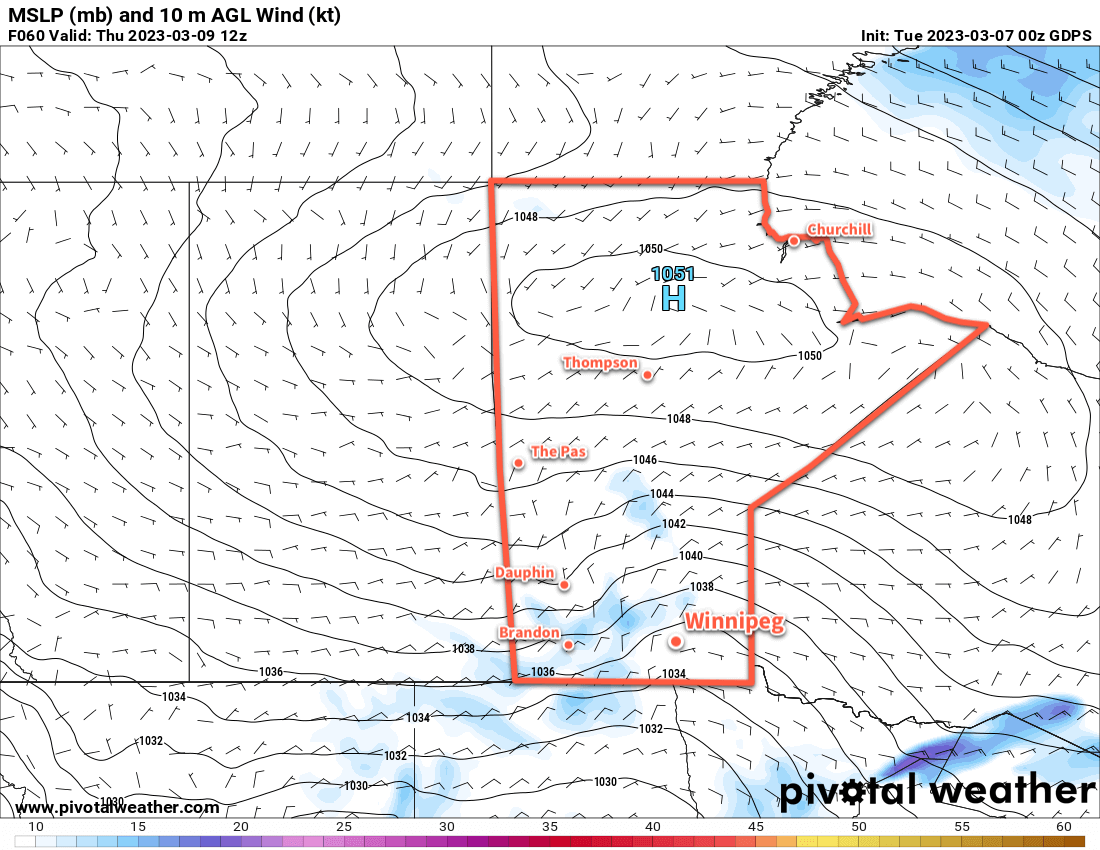
The simplest explanation of what’s going to happen over the next few days is this. The complex evolution of a multi-circulation vortex over western Canada will result in the development of an inverted trough over southern Manitoba on Wednesday. This feature will bring light snow northwards out of the U.S. into the region through the day. The inverted trough will linger over the region while another disturbance passing through the U.S. pushes more moisture northwards on Thursday. As it moves into the trough, more light snow will fall over southern Manitoba into Friday. Following that, a clipper system will develop over southern Alberta on Saturday morning and race eastwards across the southern Prairies. This will bring another organized band of snow — perhaps the heaviest of them all — to the Red River Valley on Sunday.
Between each of these features, lingering flurries or light snow will likely persist across the region.
Snowfall totals by Sunday night will be highly variable across the region with amounts of 10 to 25 cm possible in Winnipeg across the three events. Localized accumulations could end up being higher, though, and of most concern will be areas near the western escarpment of the Red River Valley. The persistent upslope flow on the western side of the inverted trough will enhance snowfall near the escarpment. In those areas, there is the potential for as much as 20 to 40 cm of snow over the next several days.
The snow won’t all fall at once; it will be through multiple events — maybe none of which are particularly bad. But the prolonged nature of the event will mean that it will slowly pile up across the region.
Temperatures will be pleasant, though as daytime highs warm up into the near-seasonal -5 to 0 °C range with overnight lows of -5 to -10 °C.
This is a complex weather setup consisting of multiple events over several days. The forecast may change. One of the biggest uncertainties will be how well the inverted trough is able to establish with a strong Arctic High over the northern Prairies and how much dry air will be ingested from it and diminish snowfall amounts. But be sure to keep an eye on the updated ECCC forecasts and for any alerts that may be issued such as special weather statements or snowfall warnings in the coming days.
Long Range Outlook
Near-seasonal temperatures will continue next week with a bit of sun likely showing up to start the week. Some more flurries look possible mid-week as temperatures nudge warmer.
Today’s seasonal daytime high in Winnipeg is -3 °C while the seasonal overnight low is -13 °C.