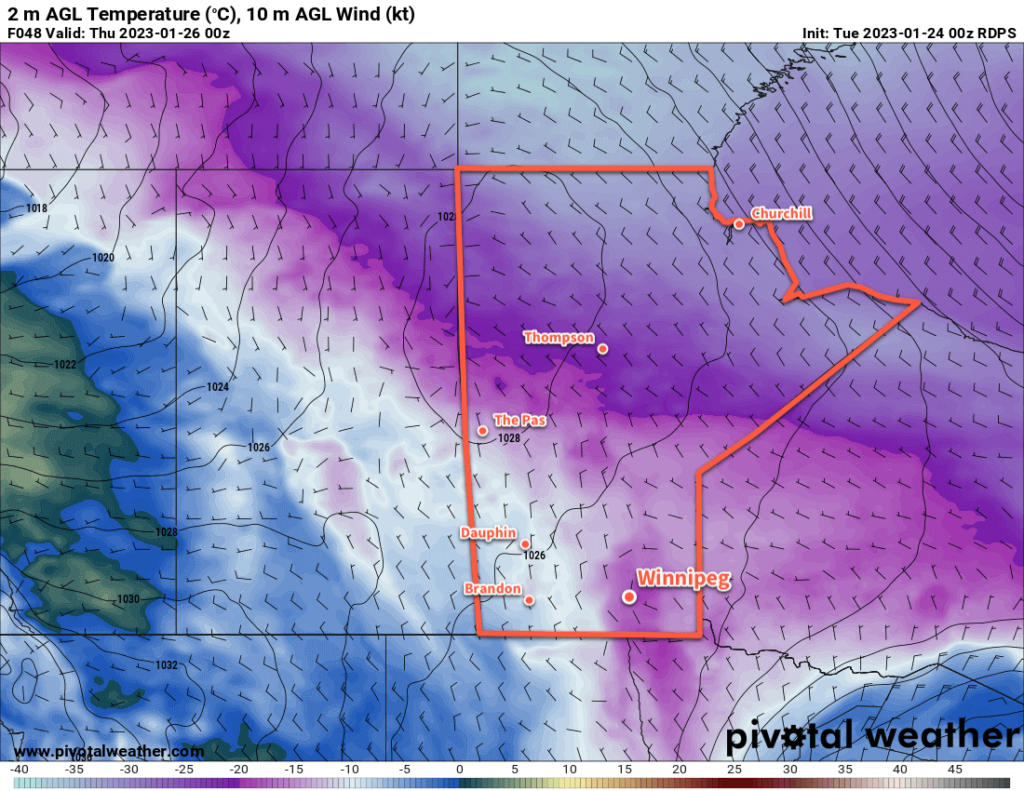
It will be a cold week ahead in the city as the Polar Vortex continues to supply the region with Arctic air.
The Polar Vortex will remain entrenched over Canada’s eastern Arctic region this week, sustaining a persist northwesterly flow across the Prairies. This will keep temperatures well below seasonal averages through the rest of the week.
Daytime highs will vary through the week, ranging from a few degrees on the warm side of -20 °C on Wednesday to a much colder high near -25 °C on Thursday. Overnight lows will generally sit in the -25 to -30 °C range, though lows could reach into the -30s tonight.
The slightly warmer weather on Wednesday will be courtesy a weak disturbance moving through the region. It will bring cloud cover and a bit of light snow to the region as it moves through. The bigger impact it will bring to the region will be a strong cold front that sweeps through on Wednesday night. It will bring moderate northerly winds to the region, some blowing snow, and plummeting temperatures.
That cold air mass that moves in behind is what will keep the daytime highs so low on Thursday. Temperatures will likely dip back below -30 °C on Thursday night again.
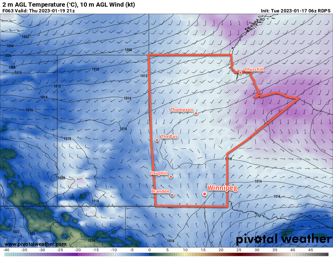
On Friday, cloudier skies will move into the region as a slow pattern change begins to take shape. Temperatures will likely climb back into the -15 to -20 °C range, but a stiff southerly wind will make it feel pretty cold outside.
Long Range Outlook
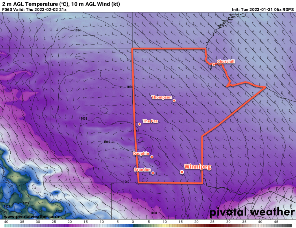
I mentioned last week that it looked like the polar vortex would begin to destabilize heading into this weekend. Fortunately, that still looks to be the case; by the end of the week, its structure looks to become far more wobbly and will likely be pulled northwards back towards the pole by the end of the weekend.
As a result, we’ll likely see the worst of the cold leave the region this weekend, leaving behind closer to seasonal temperatures across much of the Prairies. There may be a bit of light snow through this process, but at this time no significant snowfalls are in the forecast.
Layer up and stay warm this week; relief is on the horizon!
Today’s seasonal daytime high in Winnipeg is -11 °C while the seasonal overnight low is -22 °C.