Strong northwest winds will send temperatures plummeting in Winnipeg today.
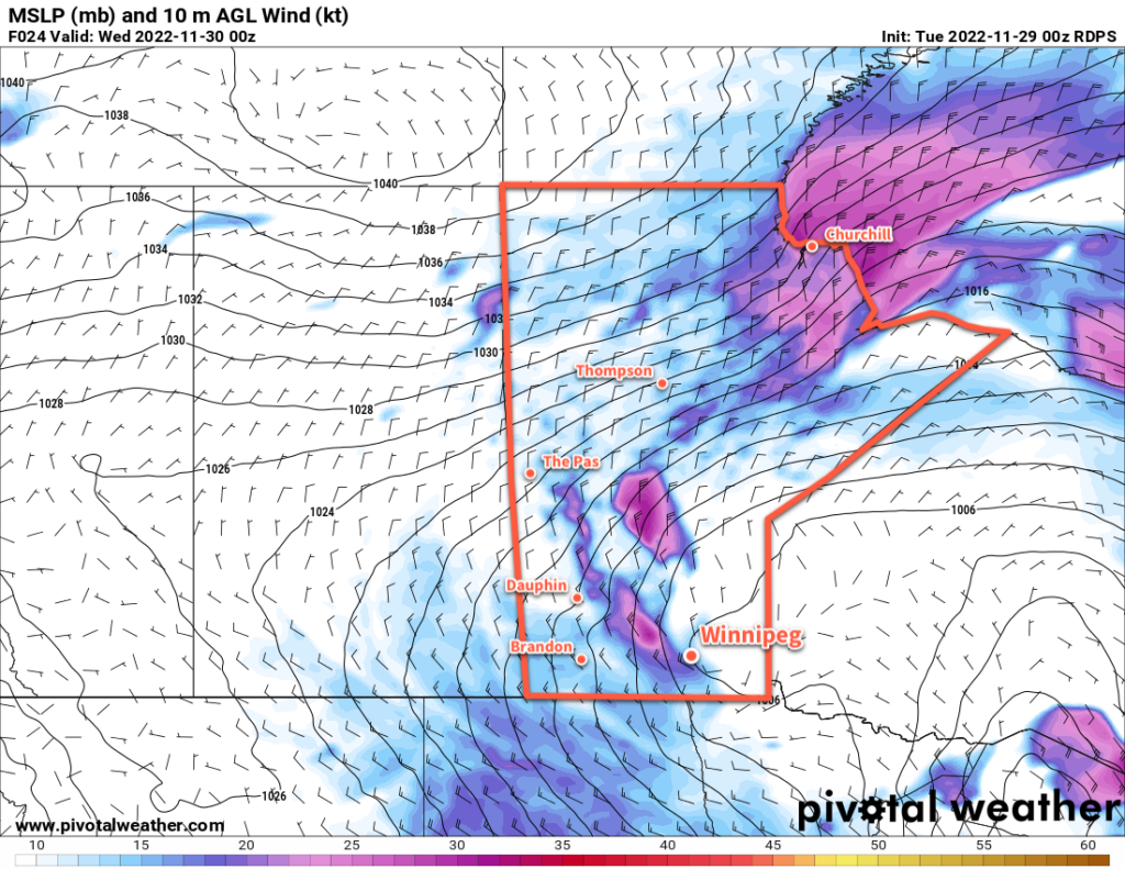
A disturbance that brought snow to parts of western Manitoba will bring about quite a pattern chance for Winnipeg today. As the system tracks off to the east, moderate to strong northwest winds will develop and draw colder Arctic air into the region.
In Winnipeg, winds will increase to around 40 gusting 60 km/h midday, while to the west and south of the city the winds will be stronger, reaching as high as 50 gusting 70 km/h. These winds will send temperatures falling from around -11 °C this morning to around -18 °C by the evening. Wind chill values will become an issue later in the day, falling into the -30s by late afternoon.
The winds will also produce blowing snow through the Red River Valley, but the worst hit area will likely be the Trans-Canada Highway corridor between Elie and Portage la Prairie. If travelling through that area today, be prepared for the potential for road closures due to poor driving conditions this afternoon.
The wind will ease this evening with clearing skies. Temperatures will dip to a low around -23 °C.
A ridge of high pressure will move across the region on Saturday, keeping skies clear and temperatures cold. Winnipeg will see temperatures climb to a high near -15 °C with a southwest wind near 20 km/h. Temperatures will dip to a low near -20 °C tonight with increasing cloud towards Sunday morning.
On Sunday, a low pressure system will move through the region, dropping from northern Saskatchewan into the Interlake. It will bring warmer temperatures back to the region with highs into the -5 to -10 °C range along with some light snow. The north winds will return on Sunday night, sending temperatures downwards through the day on Monday.
Long Range Outlook
Arctic air returns early next week, bringing some of the coldest temperatures Winnipeg’s seen so far this winter. Temperatures will likely drop towards the -20 °C mark on Monday, then continue into the mid-minus twenties on Monday night. Tuesday could be the first day of the season with a daytime high colder than -20 °C, but temperatures then look to gradually moderate through the remainder of the week.
Today’s seasonal daytime high in Winnipeg is -6 °C while the seasonal overnight low is -13 °C.
#awm #forecast_post #awm_windy #awm_blowing_snow