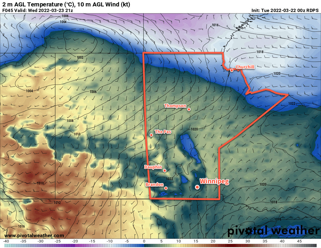
Pleasant spring temperatures and variable cloudiness will continue to aid in a gradual spring melt across the region.
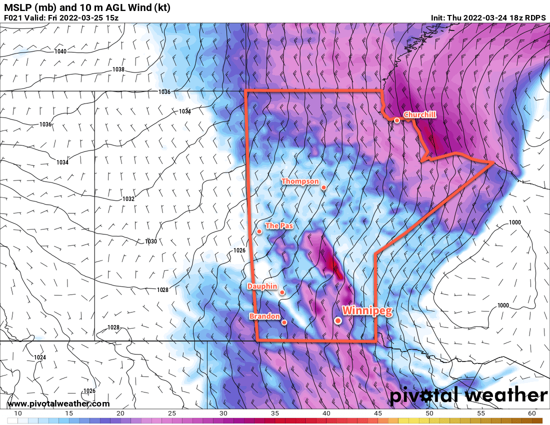
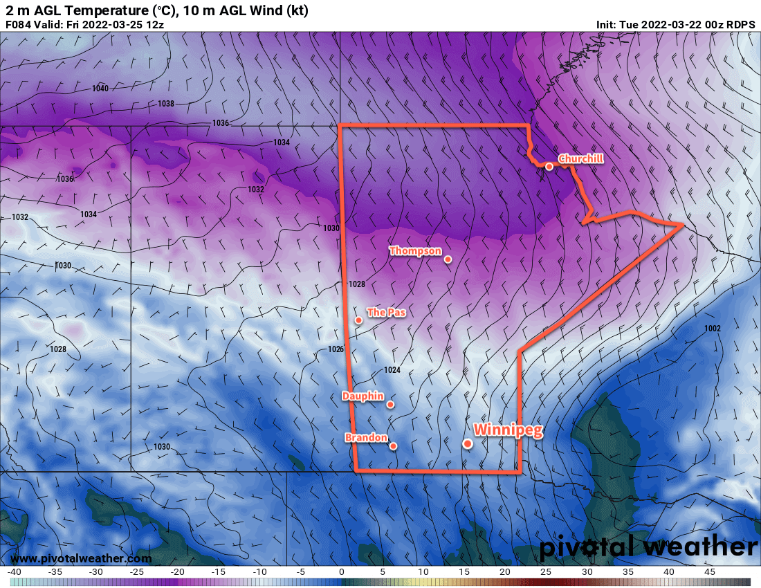
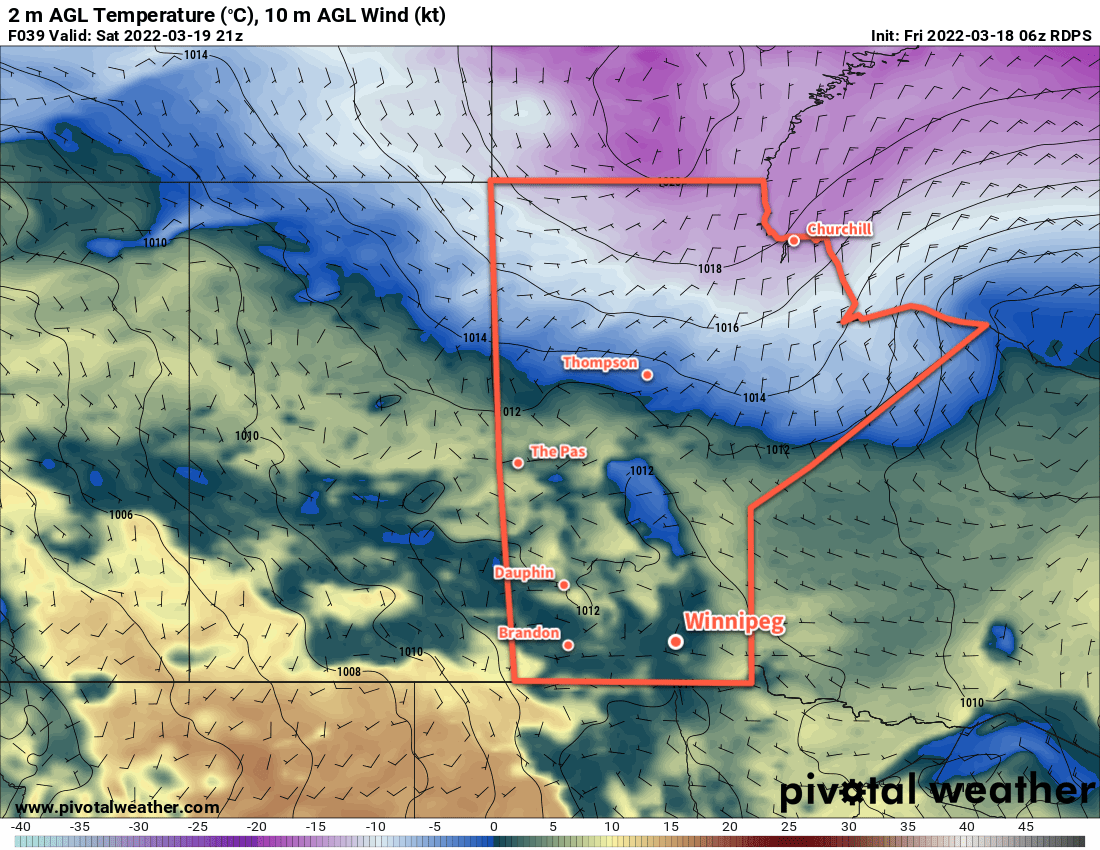
The week will end with a beautiful day in the Winnipeg area. Breezy southwest winds will help highs climb up close to 10 °C this afternoon under mainly sunny skies. Westerly winds will continue for much of the night near 20 km/h. Temperatures will dip below freezing as a passing cold front ushers in more cloud early Saturday morning.
Behind the front, temperatures will be a bit cooler and skies cloudier. The high in Winnipeg will cool to just above the freezing mark on Saturday as northwest winds taper off late in the day. Much of the cloud cover will stick around Saturday night. The low dips into the -5 to -10 °C range.
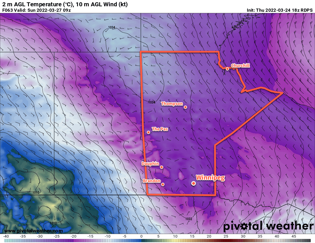
Sunday will continue cloudier, but temperatures will moderate back towards seasonal values with a high near 5 °C. Temperatures will dip just below freezing on Sunday night, moderated by milder air moving in for Monday.
Throughout the next few days, dew point values will stay below freezing and continue to aid the gradual snowmelt across the region. Combined with a lack of precipitation, this is helping to ease the flood risk across the region.
Long Range Outlook
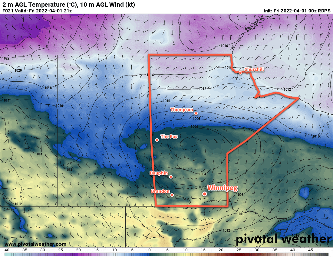
The weather pattern will turn a bit more unsettled next week as several disturbances cross through the province. This pattern change will bring warmer weather more consistently to the region with daytime highs closer to 10 °C through the week. Rain is possible on a few days next week, but there is still too much disagreement between weather models to suggest any certainty.
Today’s seasonal daytime high in Winnipeg is 5 °C while the seasonal overnight low is -6 °C.