Cloudier conditions will move back into Winnipeg as a major pattern change brings long-term warming to the region.
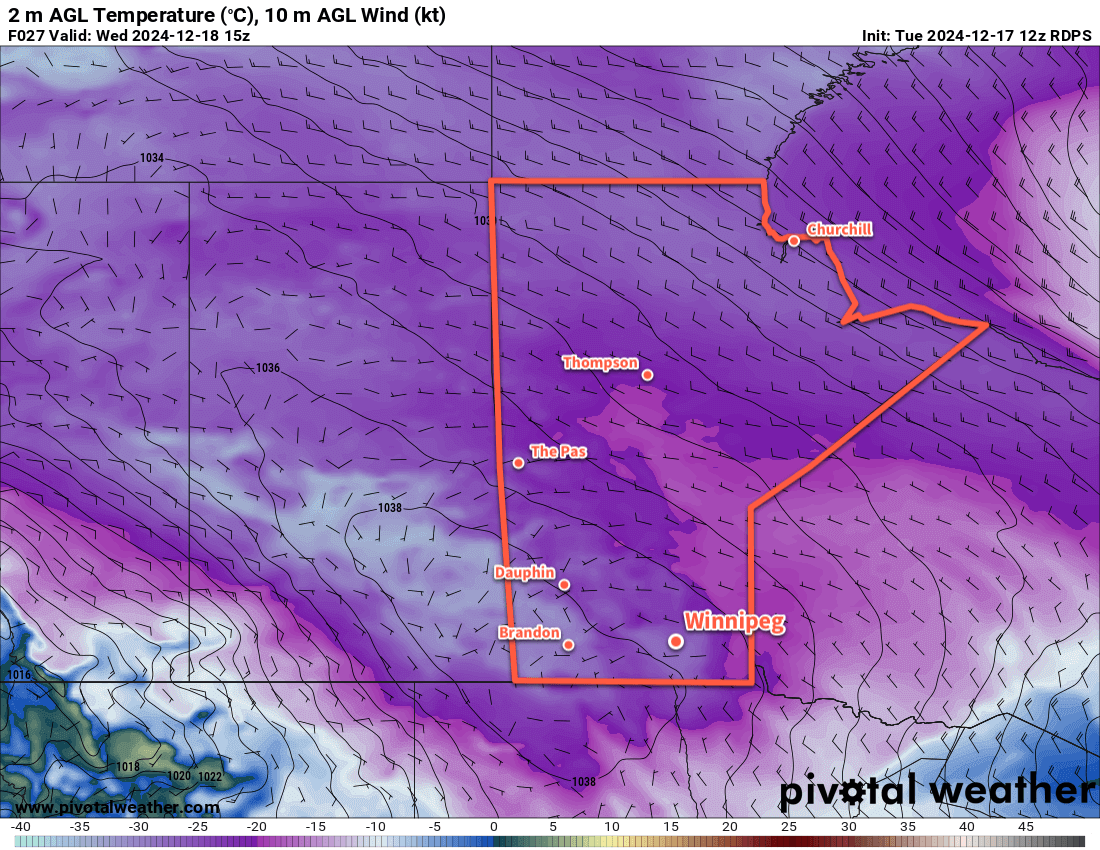
After a sunny start today, cloud cover will gradually build into southern Manitoba as warmer air gradually pushes across the Prairies. The weather pattern over the next week or longer will be heavily impacted by the large-scale shift of the upper-level weather pattern. The Polar Vortex, which has been anchored over Baffin Island in Canada’s Eastern Arctic, is shifting back towards the North Pole, and will then continue to move into the Arctic Ocean north of Siberia. This will allow Pacific air to wash east across the Prairies, sending temperatures, eventually, to well above seasonal values.
For Winnipeg, skies should become mixed later this afternoon and cloudy overnight. Temperatures will climb to a high near -18 °C with light winds shifting southerly.
Skies will cloud over tonight with south winds picking up to around 20 km/h. Temperatures will dip into the -20s this evening, then warm to around -15 °C by morning with the thickening cloud.
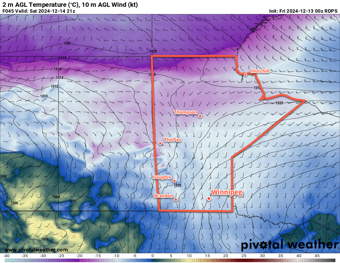
The weekend will bring cloudy skies to Winnipeg with highs just below -10 °C on Saturday and just a bit warmer than -10 °C on Sunday. Some light snow will be possible on Saturday as a warm front pushes across the region, but no notable accumulations are expected. Overnight lows will sit in the -15 to -10 °C range both Saturday night and Sunday night. Additionally, southerly winds of 30 to 40 km/h will develop over the region for Saturday, but should be calmer on Sunday.
Long Range Outlook
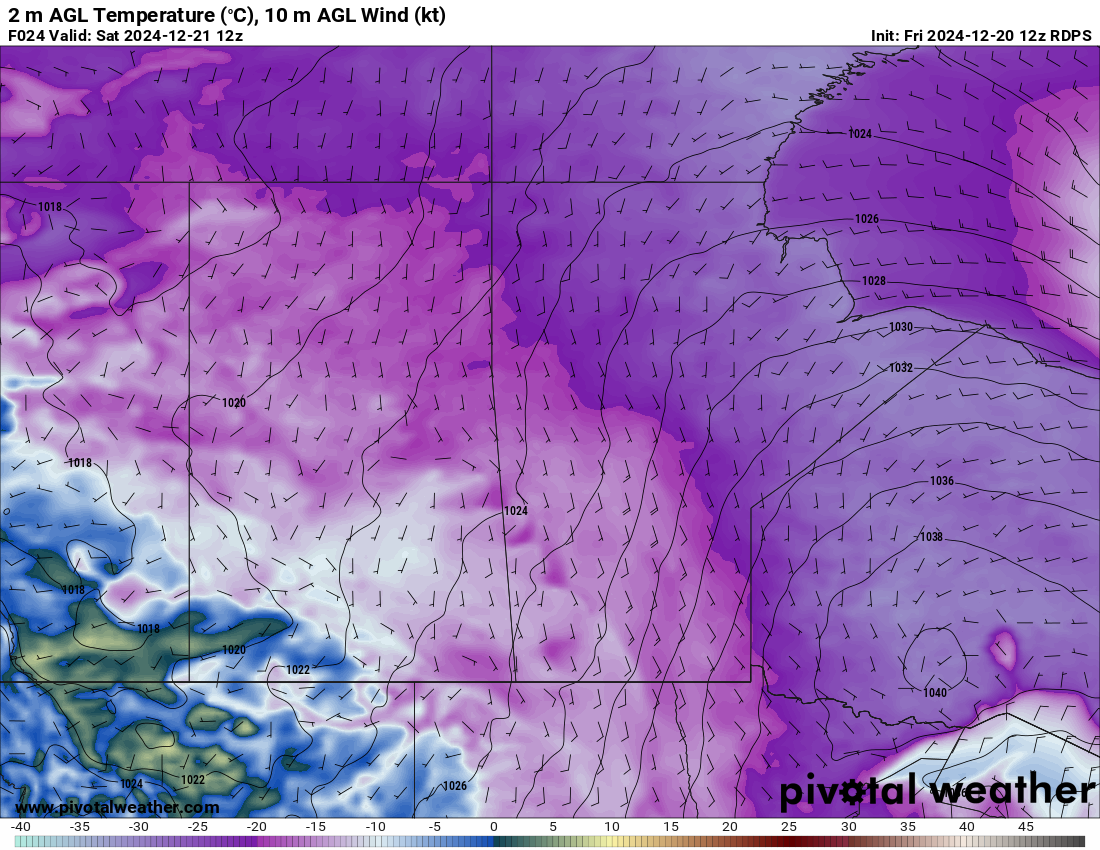
Heading into the holidays, warmer weather will continue to build across southern Manitoba. Temperatures will climb to around 0 °C by Christmas Day, then continue to warm into the 0 to +5 °C range for much of the rest of the week.
No significant precipitation is expected next week. The warmer conditions will last through next weekend, then a crash back towards colder weather is likely for the new year.
Today’s seasonal daytime high in Winnipeg is -11 °C while the seasonal overnight low is -21 °C.