Summer heat arrives this week for Winnipeg with a prolonged stretch of hot, dry weather.
The weather driver for Winnipeg this week will be a potent upper-level high that is currently situated over British Columbia. This feature is responsible for a dangerous, record-setting heat wave over the region right now. In fact, yesterday the town of Lytton, B.C. set a new record for hottest temperature recorded in all of Canada at 46.6 °C, beating out the previous record of 45.0 °C set in both Yellow Grass and Midale, SK on July 5, 1937. And records aren’t just falling in British Columbia, they’re being smashed by 5–10 °C.
This feature will slowly drift eastwards this week, gradually weakening as it pushes across the Prairies. But it will continue to bring several days of record-shattering heat to British Columbia and Alberta.
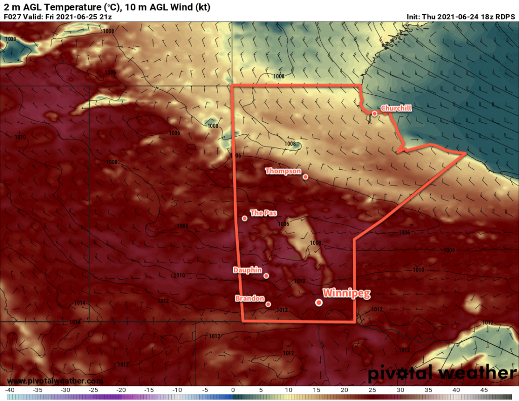
Winnipeg will see daytime highs climb to around 30 °C over the coming days with lows increasing into the upper teens. The city will see plenty of sunshine over the next few days with just a few clouds around. Winds will pick up out of the north to around 20 km/h today, then ease tonight and stay light over the next couple days. As mentioned at the top, no notable precipitation is in the forecast. There is a slight chance that a few showers may move through overnight Tuesday or very early Wednesday morning, but it doesn’t look particularly likely at this point.
Long Range Outlook
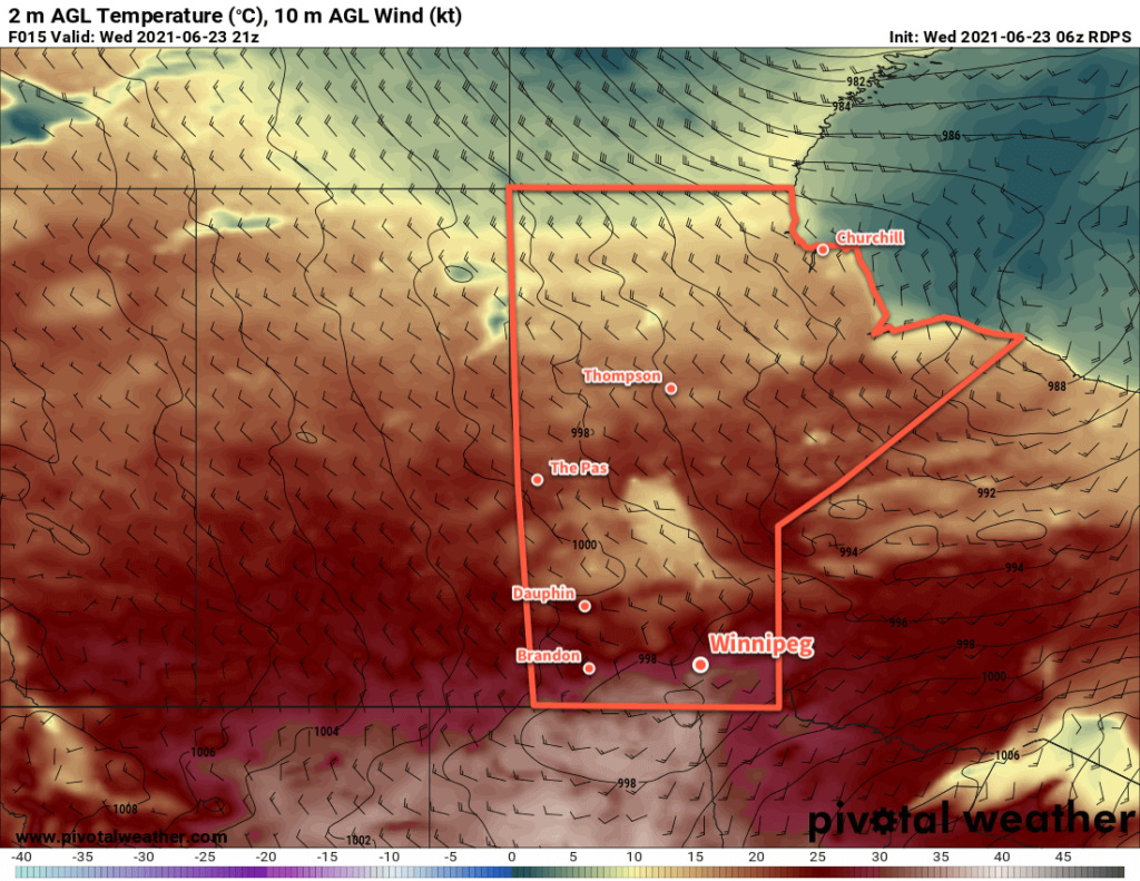
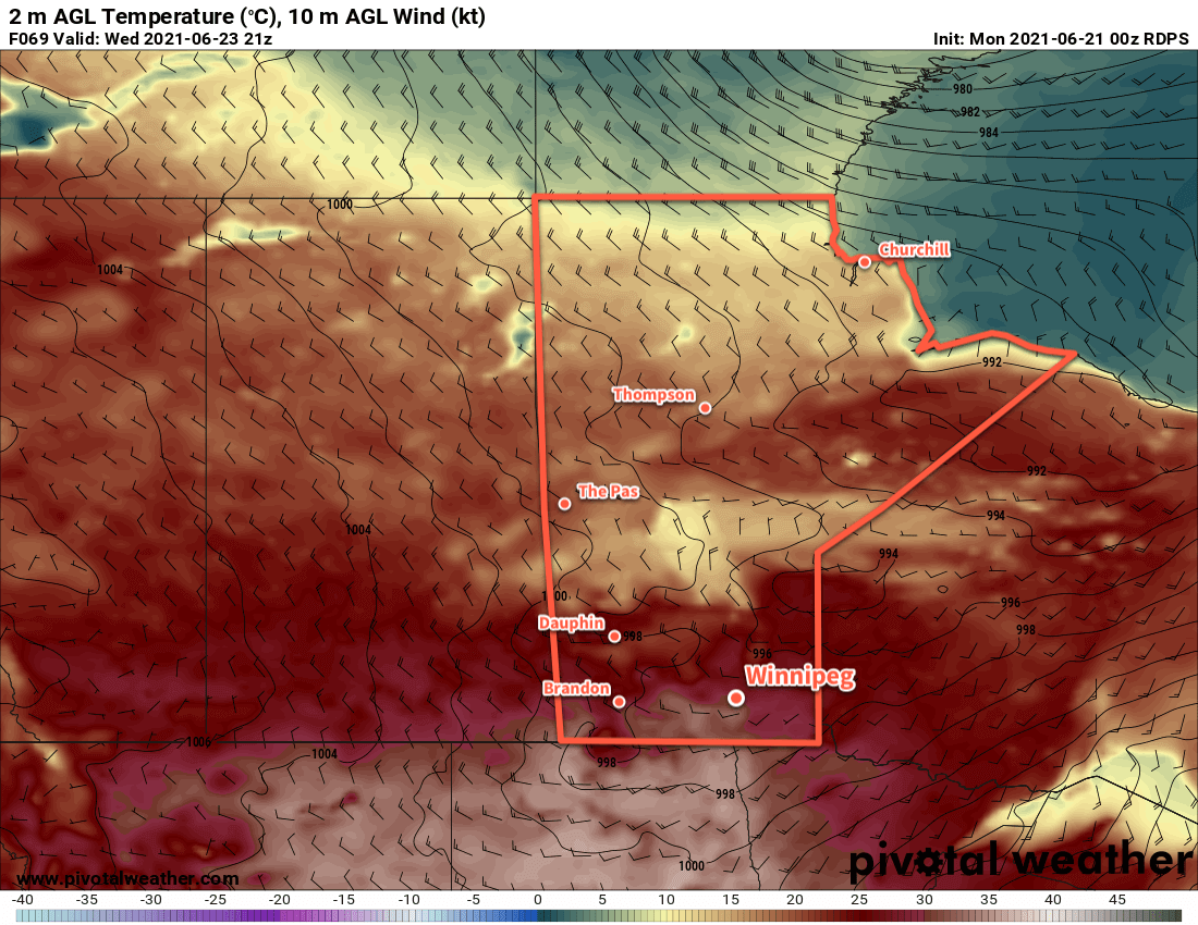
The rest of the week will be more of the same with temperatures increasing further. Highs should reach the mid-30s by the weekend with overnight lows warming to around 20 °C. No precipitation is expected through the second half of the week.
Today’s seasonal daytime high in Winnipeg is 25 °C while the seasonal overnight low is 12 °C.