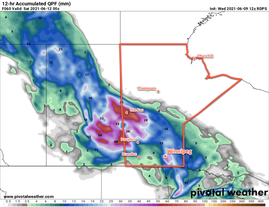
A low pressure system crossing the northern Prairies will bring a surge of cooler air for the weekend.
Winnipeg will see moderate winds today that will bring hot weather to the region. With plenty of sun, southerly winds will increase into the 30–40 km/h range this morning. Those gusty winds will send temperatures climbing to a high near 32 °C this afternoon with increasing humidity. A trough will move into the Red River Valley mid-afternoon, bringing a few clouds and the chance of scattered showers or thunderstorms. West-northwest winds of 20–30 km/h will develop this evening behind the trough and gradually diminish overnight.
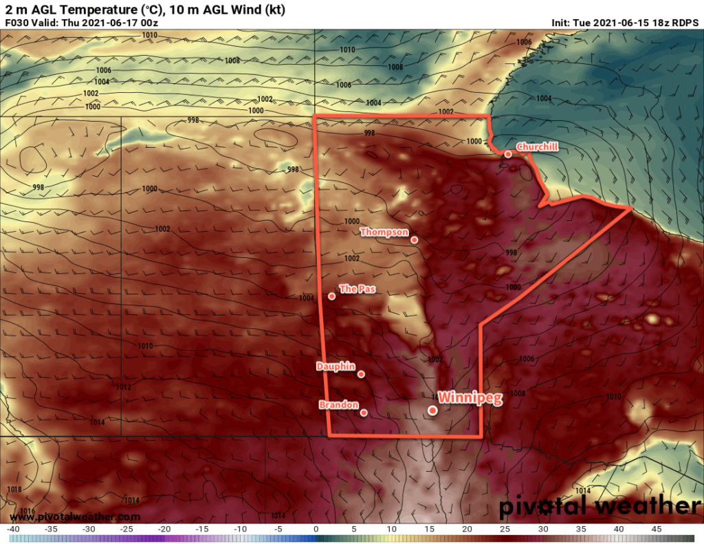
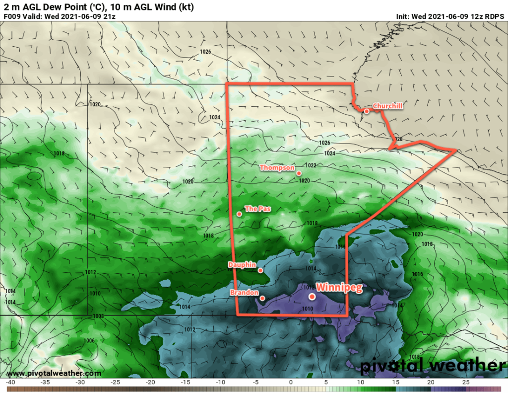
Winnipeg will see moderate west-northwest winds behind the front on Thursday. Temperatures will still be fairly warm with a high near 28 °C with a drier air mass over the region. The winds will peak in the afternoon at 40 gusting 60 km/h then ease to around 20 km/h overnight. Temperatures will head to a low near 13 °C.
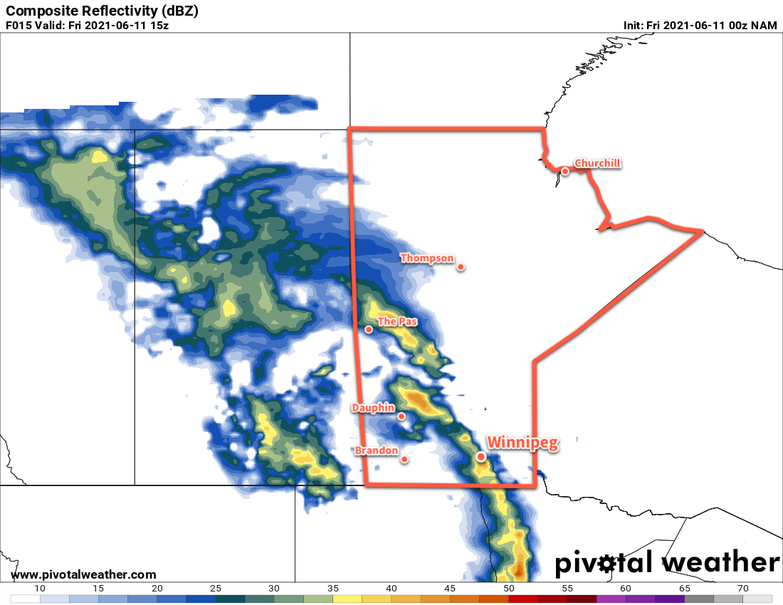
Another cold front will slump into southern Manitoba from the north on Friday. It will bring cloudier conditions to the region along with moderate northwest winds near 30 km/h. There may end up being a chance of showers, but much of the activity will likely pass to the east. It will be a noticeably cooler day with a below-seasonal high near 18 °C in Winnipeg. The city will see clearing skies and a low near 9 °C on Friday night.
Long Range Outlook
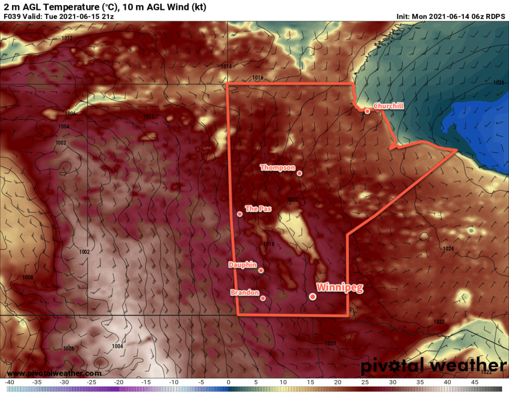
Temperatures will remain seasonal to below-seasonal in Winnipeg for the weekend and into next week. Saturday looks to be a pleasant day, however clouds and the chance of showers return for Sunday and Monday. This unsettled pattern will continue into mid-week before things begin warming up in the latter half of the week.
Today’s seasonal daytime high in Winnipeg is 24 °C while the seasonal overnight low is 11 °C.