Temperatures will warm in Winnipeg over the coming days as upper-level ridging builds across the Prairies.
There’s still one more day of bitter cold ahead for the city today. The Arctic ridge responsible for the frigid temperatures will slowly shift across the province through the day. This will keep daytime highs again near the -23 °C mark with light winds and sunny skies. Temperatures will quickly dip to around -27 °C this evening, but then moderate slightly as some cloud cover arrives with a push of milder air.
Thursday will bring mixed skies to the city as some morning cloud breaks up for the afternoon. The city will get its reprieve from the cold as temperatures climb to a seasonal high near -12 °C. Winds will be light out of the southeast at 10–20 km/h. This will mark the beginning of a shift into a warmer pattern as the polar vortex consolidates over the high Arctic and Pacific begins to wash over the region. Temperatures will dip to a low near -18 °C on Thursday night with partly cloudy skies.
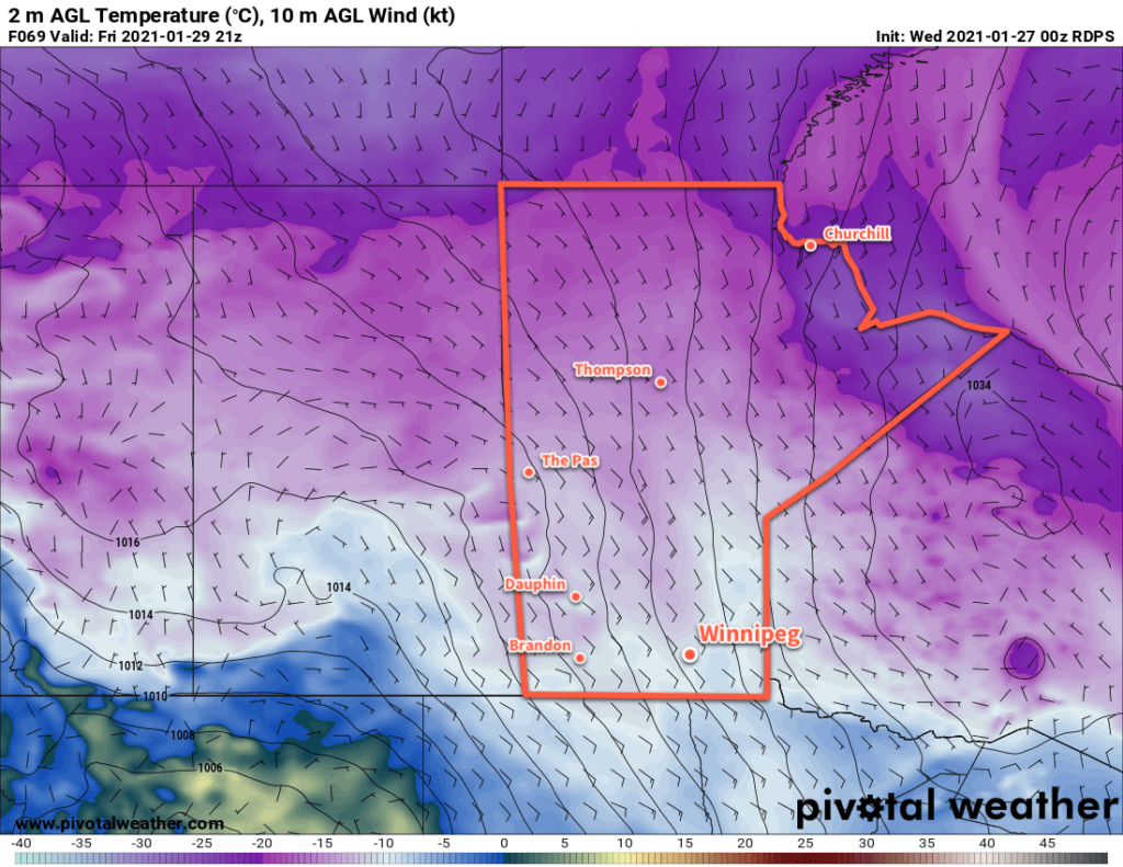
A warmer air mass will continue to push into the province for Friday, bringing increasing cloudiness with it. Temperatures will climb back to seasonably warm values with a high near -8 °C and winds will pick up out of the southeast again into the 20–30 km/h range. A few flurries are possible, but any snow will likely hold off until overnight. Temperatures will dip to a low near -10°C.
Long Range Outlook
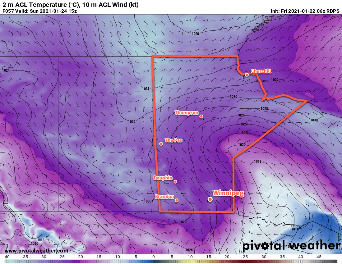
Southern Manitoba will see more cloud and light snow this weekend as an upper trough migrates across the region. Temperatures will stay warm with highs in the mid-minus single digits and early indications suggest snow accumulations of 2–5 cm around the Winnipeg area.
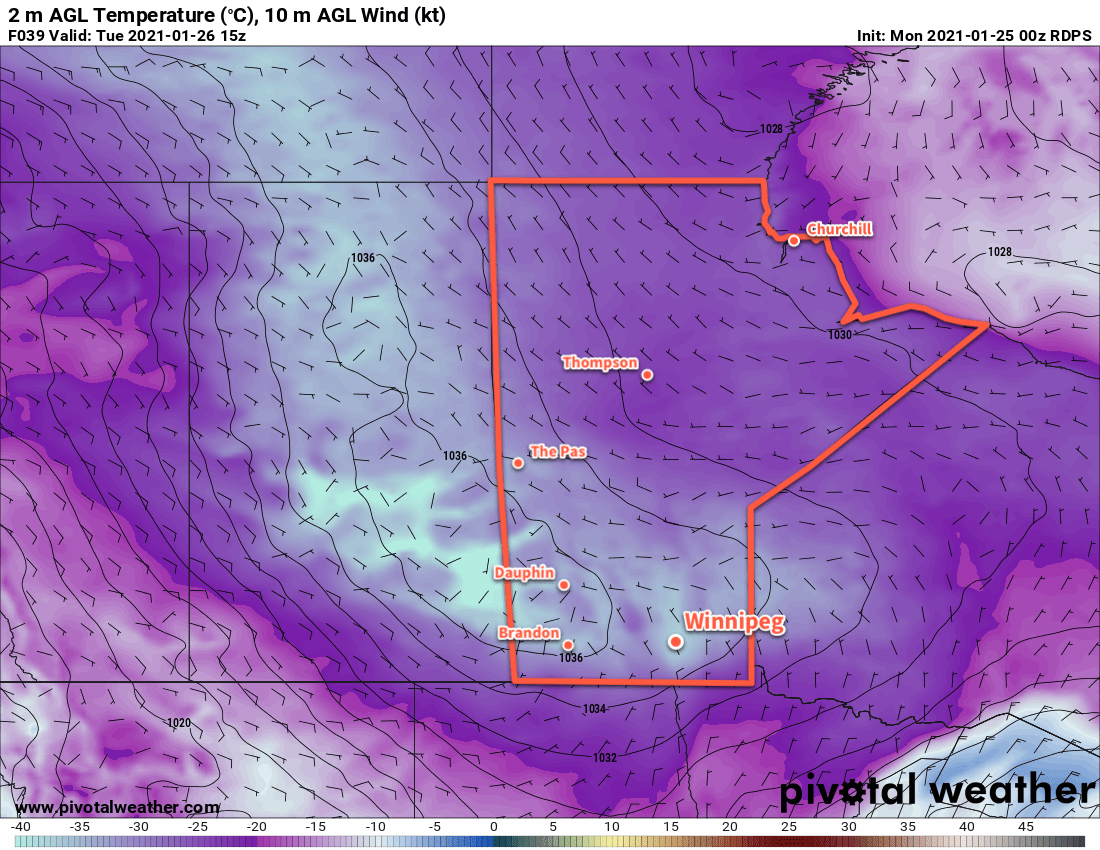
The mild temperatures will stick around into next week, although a return to seasonal temperatures looks possible mid-week with the passage of another low pressure system.
Today’s seasonal daytime high in Winnipeg is -12 °C while the seasonal overnight low is -23 °C.