Winnipeg will continue to see sporadic bouts of light snow as mild air pushes across the province.
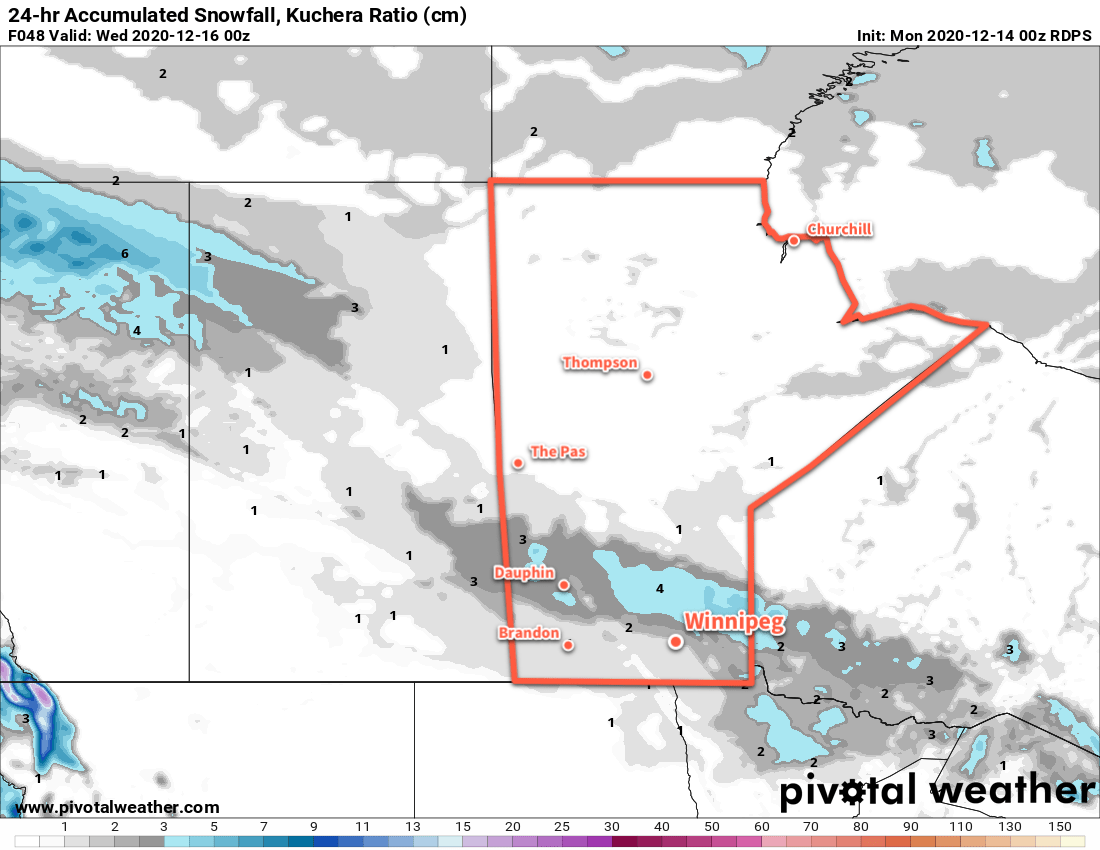
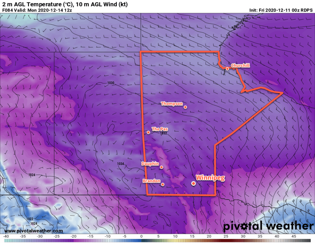
Winnipeg will see some more light snow today as a weak low pressure system moves through the province. The light snow will mainly fall in the morning, tapering off by midday. Temperatures will warm back up to a high near -4 °C with southerly winds of 20–30 km/h easing and eventually turning to the northwest. The cloud cover will break up a bit tonight with temperatures dipping to a low near -14 °C.
Thursday will be quite a pleasant December day in Winnipeg as a weak ridge brings partly cloudy skies to the region. Temperatures will stay mild with a high near -5 °C and winds picking up out of the southeast into the 20–30 km/h range in the afternoon. Skies will cloud back over on Thursday night with southerly winds picking up to 30 gusting 50 km/h. The city should see a low near -8 °C early, then temperatures will slowly warm up overnight.
More light snow will move through southern Manitoba on Friday as a low pressure system moves across the province. The snow will again likely be primarily a morning concern; a potent Arctic front will plough through the region midday, pushing the snow off to the east and ushering in northwest winds up to 40 gusting 60 km/h. Temperatures will reach a high near -3 °C before the cold front moves through, then drop close to -10 °C by the end of the afternoon. The winds will ease on Friday night with clearing skies and a low near -20 °C.
Long Range Outlook
The cold will again be short-lived with warmer weather quickly pushing back into the region. Temperatures will climb back into the mid-minus single digits for the weekend. The milder conditions will again come with cloud cover and a chance for some light snow. The best chance of accumulating snow will be on Sunday when a low is forecast to move across the province.
Today’s seasonal daytime high in Winnipeg is -10 °C while the seasonal overnight low is -20 °C.