|
|
|
Niagara Weather Page |
|
| Forecasts | Observations | Data |
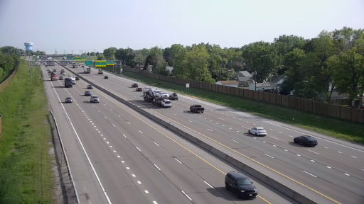
Highway Cams
| QEW Stoney Creek | QEW Winona (50 Rd) | QEW - Jordan Harbour |
|
|
|
|
| St Catharines West (Ontario exit) | St Catharines Skyway | St Catharines QEW - Glendale |
|
|
|
|
| St Catharines-Thorold (Brock U) | St David's (QEW at Mountain Rd) | Queenston (Border crossing) |
|
|
|
|
| Niagara Falls - QEW at Macleod | Niagara Falls | QEW at Welland River - Chippawa |
|
|
|
|
| Wainfleet (Chambers Corners) | Welland (406 at Woodlawn) | Welland east (Hwy 140 at Netherby) |
|
|
|
|
| Wainfleet (Hwy 3 - Long Beach) | Port Colborne (Hwy 140 at 3) | Port Colborne east (Hwy 3 - Gasline) |
|
|
|
|
| QEW at Sodom Rd (Stevensville) | Ft Erie (Hwy 3 - Ridgemount) | Ft Erie (QEW at Concession) |
|
|
|
|
| Buffalo area webcams | ||
| I190 at North Grand Island bridge (N Falls) | I90 Buffalo near Peace Bridge | I90 near Buffalo Airport |
|
|
|
|
| live streaming webcam downtown Buffalo | ||
WEATHER IMAGES
 |
 |
| Regional Satellite IR (click images for loops) | Regional satellite VIS (click images for loops) |
 |
 |
 |
||
| Intellicast Radar |
Raydar images
DuPage BUF Radar
Great Lakes composite Buffalo Metro Radar |
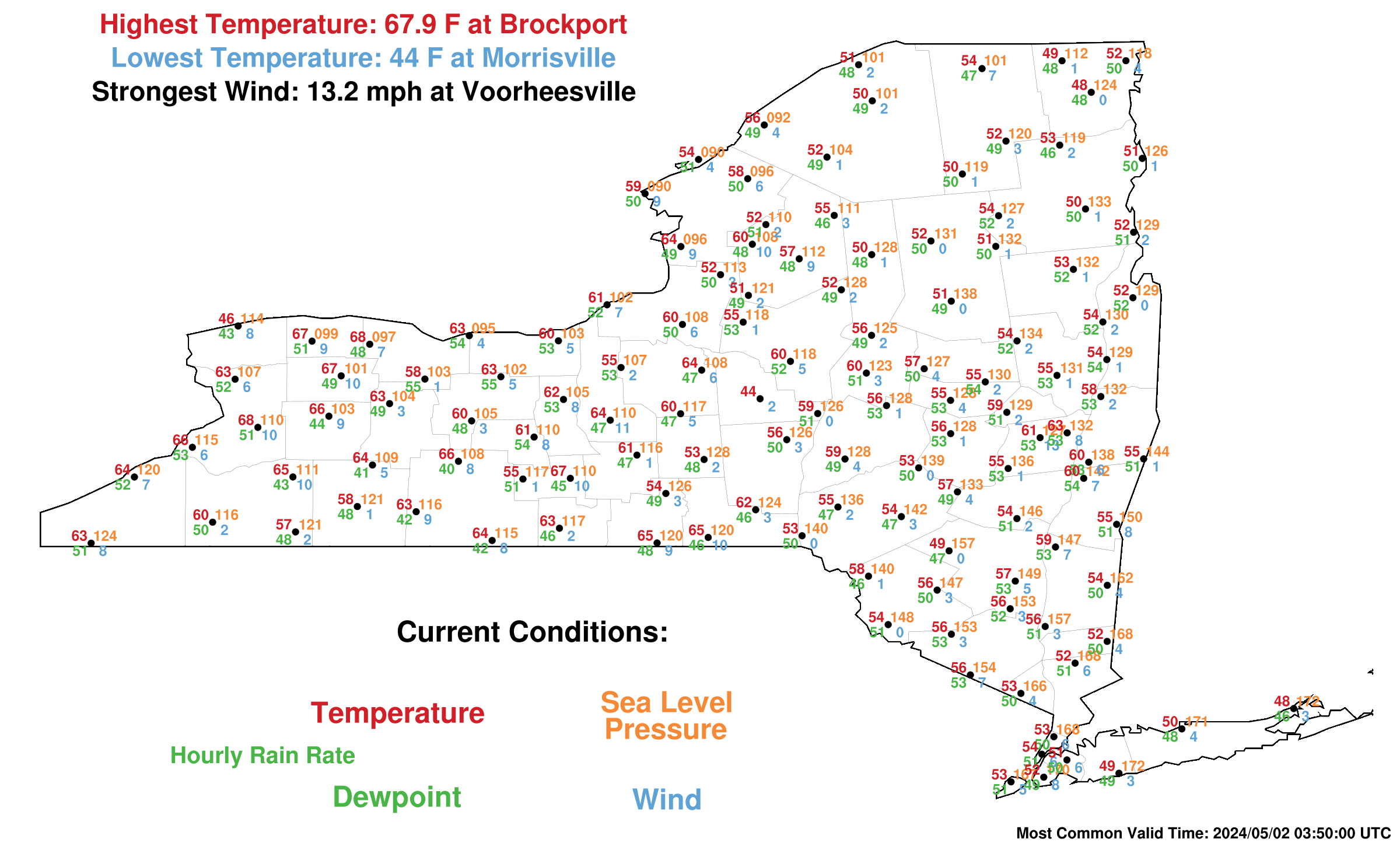
NYS Mesonet plots (click for more plots) |
||
 |
 |
 |
||
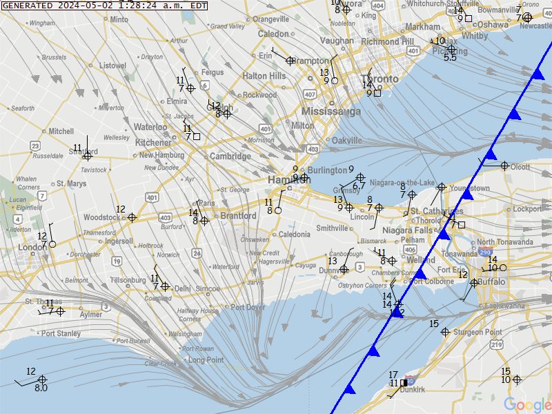
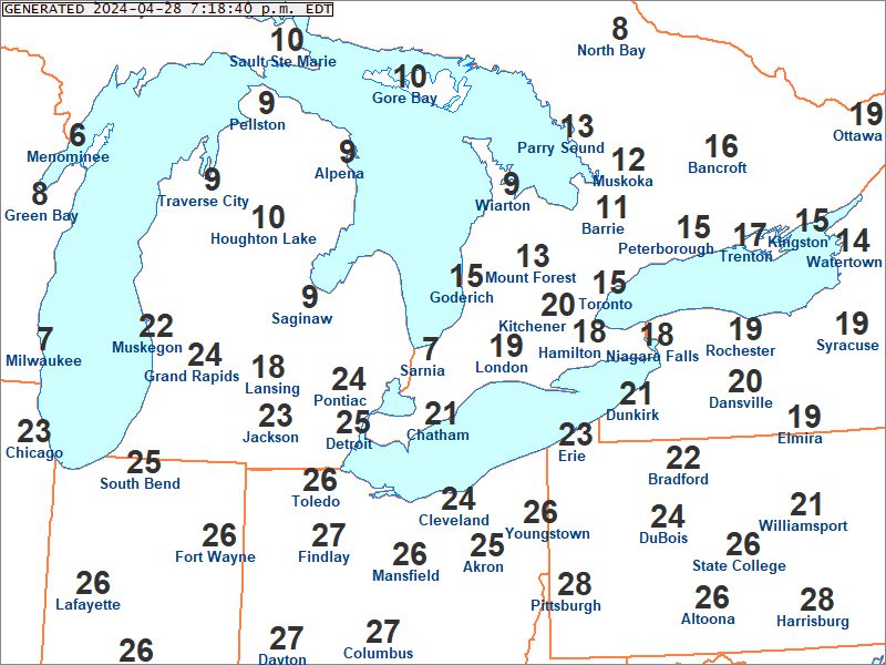
| Local Map plot | Regional Map Plot | Great Lakes Map plot (UCAR) | ||
Above maps from Grimsby Mountain Weather