Warm Spell Comes to an End

The little warm spell we’ve been in over the past several days has come to an end. Cooler temperatures are in store for this week, but conditions will remain above-normal.

Cooler weather is expected in southern Manitoba on Monday

Monday

Monday
-8°C / -13°C
Mainly cloudy with a chance of flurries

Today will see temperatures fall from the very mild conditions experienced on the week. High temperatures will be in the upper minus single digits, with a gusty north wind. There is a chance of flurries during the day, particularly in the morning. Unfortunately, even this change in the weather isn’t expected to reveal the sun, as we continue to languish under mainly cloudy skies.

Tuesday

Tuesday
-11°C / -15°C
Mainly sunny

Tuesday will be slightly colder than Monday, but not by much. High temperatures will be around the -10°C mark, with a light north-west wind. The sun should finally come out, making for a mainly sunny day.

Wednesday

Wednesday
-10°C / -18°C
Mix of sun and cloud

Wednesday will see temperatures that are very similar to Tuesday. Highs will once again be near the -10°C mark. Winds will be light, making for a fairly pleasant day. Cloud cover will be variable, with generally a mix of sun and cloud through the day.

Long Range

The long range forecast suggests we’ll see a gradual warming trend as we move towards the weekend. Temperatures will likely move towards the mid minus single digits, which is still above-normal for this time of year. No major arctic blasts are currently in the forecast, allowing our mild December to continue!
Above-Normal Temperatures to Start the Week

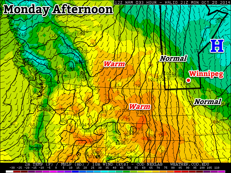
More above-normal weather is in store to start the week – what’s not to like!

Temperatures on Monday will be near normal in Southern Manitoba

Monday

Monday
11°C / 3°C
Mainly Sunny

Today will see near normal temperatures in southern Manitoba. Highs will be around or just above 10C with mainly sunny skies. Winds will be light, making for pleasant conditions overall.

Tuesday

Tuesday
17°C / 8°C
Mainly Sunny

Tuesday will see above-normal conditions return to southern Manitoba. Temperatures will be in the mid to upper teens with skies remaining mainly sunny. A strong south-east wind will be in place throughout the day, putting a bit of an edge on what would otherwise be a very nice day.

Wednesday

Wednesday
16°C / 8°C
Mainly cloudy with chance of showers

Warm weather will continue on Wednesday, with temperatures remaining in the mid teens. A weak low pressure system is expected to pass through southern Manitoba during the day, possibly producing some showers in its vicinity. This system will also likely bring in some heavier cloud cover, so Wednesday probably won’t be as sunny as Monday and Tuesday.

Long Range

Long range modelling suggests that above-normal weather [1] will continue through the end of October. That doesn’t mean that every single day will be warmer than normal, but the majority should be. Enjoy the pleasant end to October!


  1. Normal highs for the last stretch of October sit around 9°C.  ↩

The Calm After the Storm

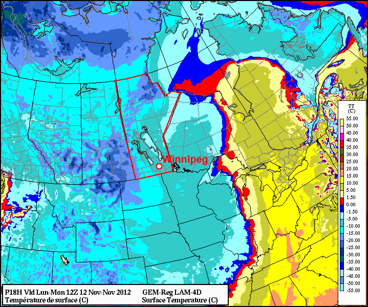
After a weekend laced with active weather all over the Prairies, we will go into a much more subdued pattern for this week. But unfortunately, it doesn’t look like the snow is going anywhere fast.

Cold temperatures are expected on Monday morning in Western Manitoba

Cold temperatures are expected on Monday morning in Western Manitoba

The weather to start the week looks cool to cold, but fairly uneventful. The main story may in fact be the low temperatures, with very cold values expected. On Sunday morning Coronation, Alberta plunged down to -29C! In Southern Manitoba our lows don’t look to be quite that extreme, but if skies clear out as expected some -20C readings may appear in Western Manitoba this morning. In the Red River Valley our daytime temperatures won’t moderate much from this morning’s lows, with temperatures basically flat-lining throughout the day in the high minus single digits or low minus double digits. It looks like we’ll get down into the low minus teens on Tuesday morning, with widespread -20s not looking too likely at this point. By Tuesday afternoon it looks like we’ll climb up to the mid minus single digits, which should be fairly pleasant given the lack of wind. On Wednesday models suggest that we could get up to the freezing mark, though they may not have a great handle on the new snow cover, so I’d assume our temperatures will remain slightly below zero for now.

No significant weather is in store for the late week period, just more typical mid-November conditions. Long-range models hint at warmer than normal weather returning to Manitoba later this month, but those predictions should be taken with caution for now as our new snow cover may not be properly accounted for yet.

Fall Weather

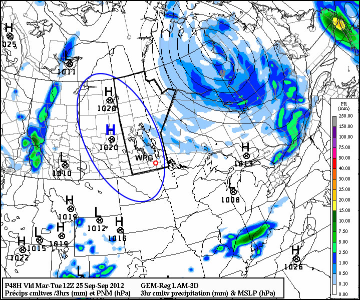
Fall has officially begun and, rather fittingly, fall weather is in store for the next few days.

High pressure will be in place over much of Manitoba for the first part of the week

High pressure will be in place over Manitoba for the first part of the week

Temperatures for the first few days of this week are expected to be around or slightly below normal. Monday, Tuesday, and Wednesday will all have high temperatures in the low to mid teens (normal high is 16C). Monday will have a cool north wind, but on Tuesday and Wednesday the wind should not be much of a factor. No notable precipitation is expected for the first half of this week as we remain under a surface ridge of high pressure.

Models have been hinting at some warmer weather towards the end of this week into next weekend. As the high pressure system from earlier in the week moves off to the east it appears that a southerly flow will develop over Southern Manitoba, allowing us to see some more above-normal weather before the end of the month.