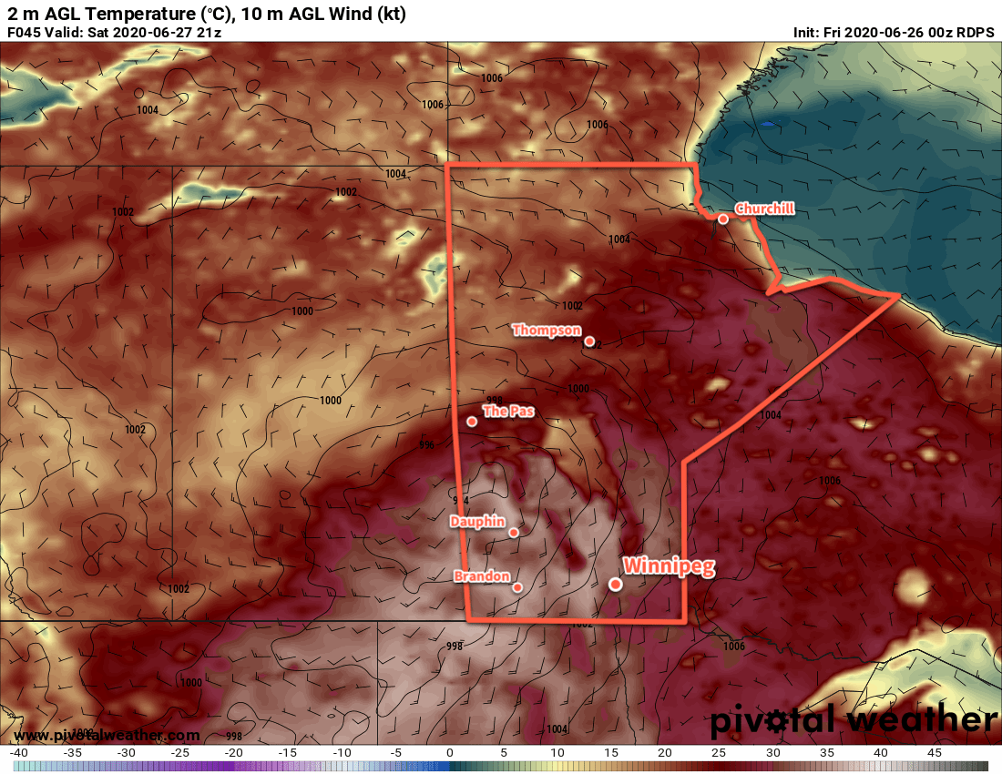
Hot, humid weather continues in Winnipeg this week with a chance of thunderstorms on Wednesday.
The upper ridge that has brought a hot and humid air mass to the province isn’t going anywhere any time soon. As a result, neither will the heat. Temperatures over the next couple days will continue to climb into the low 30s during the day and dip to the low 20s at night. Along with this heat, dew points in the low 20s will produce humid conditions with humidex values climbing towards 40.
Winnipeg will see a bit of cloud over the next couple days with winds out of the southeast at 20 to 30 km/h.
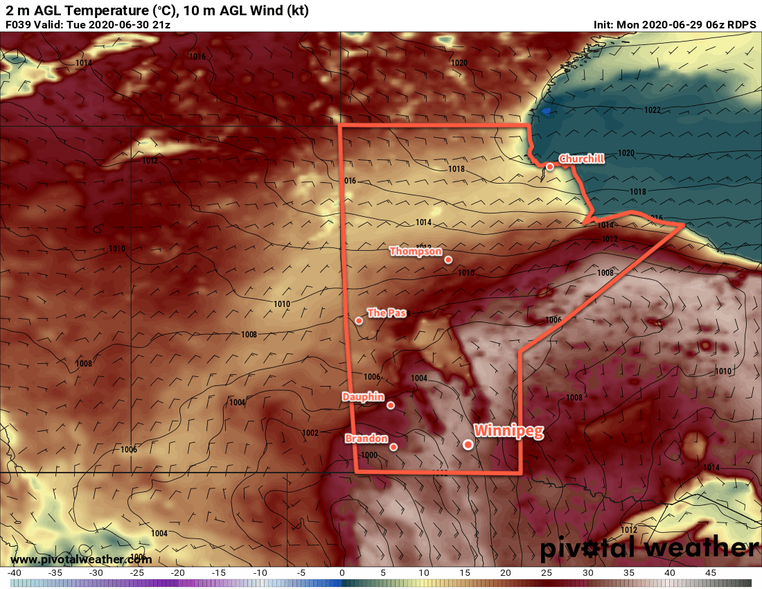
On Wednesday, a “cold” front will push across the region, bringing more cloud and some showers with the risk of a thunderstorm. Given the hot and humid air mass in place, there will likely be a risk for severe thunderstorms in the region. What exactly it will look like, though, will depend significantly on the evolution of the system over the next two days as it brings more rounds of severe thunderstorms to southeastern Saskatchewan and southwest Manitoba.
Long Range Outlook
Temperatures will cool slightly behind the cool front on Wednesday, but the heat quickly returns for Friday into the weekend. Highs will climb back into the low 30s with humidity returning to the region. It appears that a reprieve from the heat (or at least the humidity) is likely after the weekend.
Stay safe and enjoy the summer weather as best you can!
Today’s seasonal daytime high in Winnipeg is 25°C while the seasonal overnight low is 13°C.