Warm Weather Arrives for Remainder of Work Week

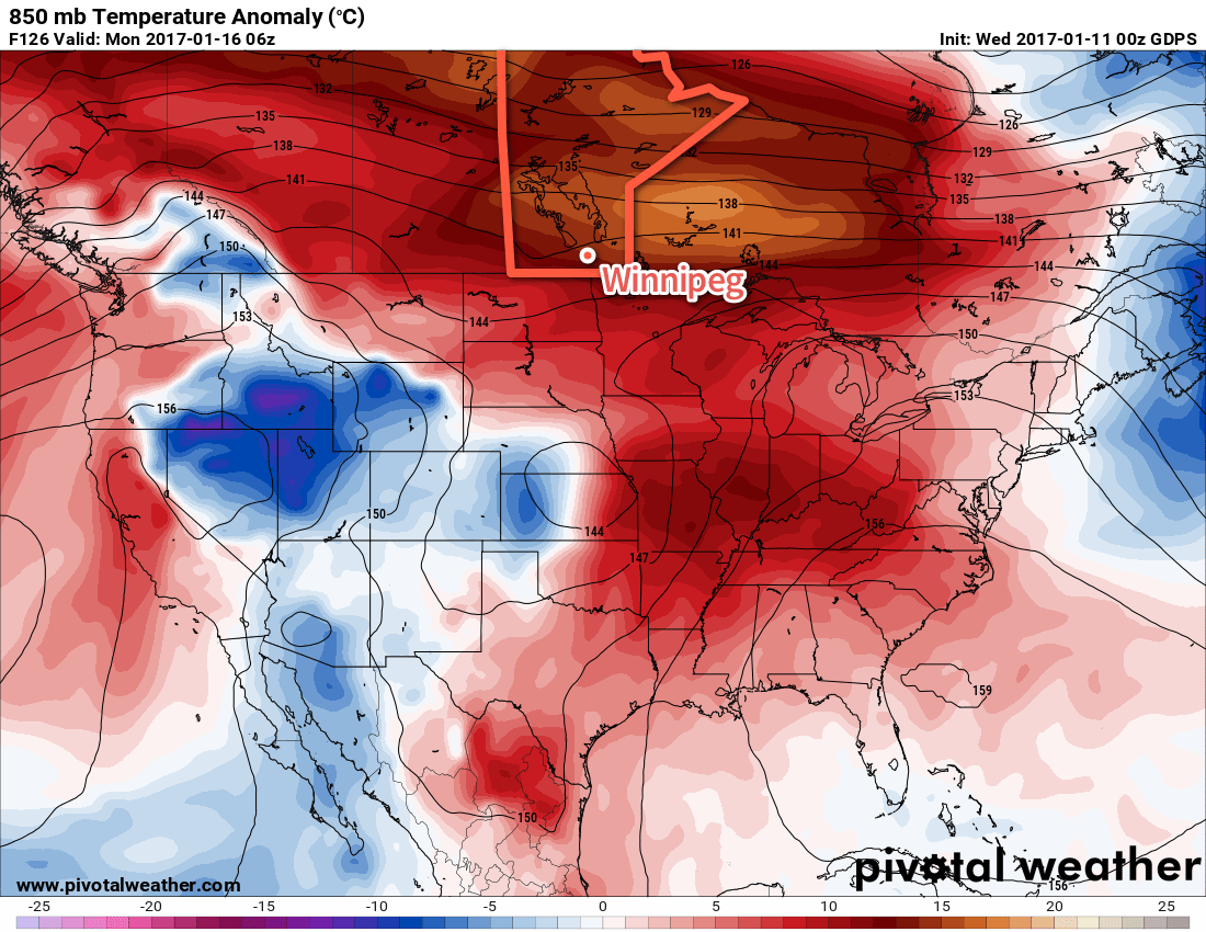
The promised warmer weather will move in for the second half of the work week, sending temperatures over 10°C above seasonal daytime highs.

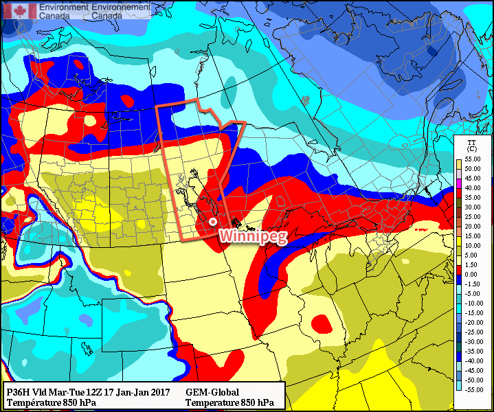
Temperatures will be very mild over the coming 3 days as westerly winds continue to advect a Pacific-sourced air mass eastwards across the Prairies. Daytime highs over the next few days will hover around the 0 to +2°C mark with overnight lows between -4 and -1°C.

Winds will be fairly light over the coming few days as well, with winds generally out of the south at 10-20 km/h persisting right through Friday.

Above normal temperatures will be in place over the Prairies through the second half of the week.

Skies will be variably cloudy; today we expect partly cloudy skies this morning transitioning to periods of mixed to cloudy skies this afternoon and evening. Things should clear out a bit on Thursday morning with partly cloudy skies returning for the afternoon and then thicker cloud cover moving in on Thursday night for Friday.

All in all, a very nice second half to the work week on the way.

Long Range

Things will begin to change on the weekend, though, as a rather complex transition occurs and brings more unsettled weather to our region.

A complex upper-level wind pattern will develop over the region this weekend.

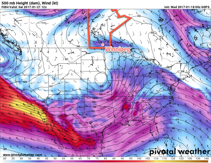
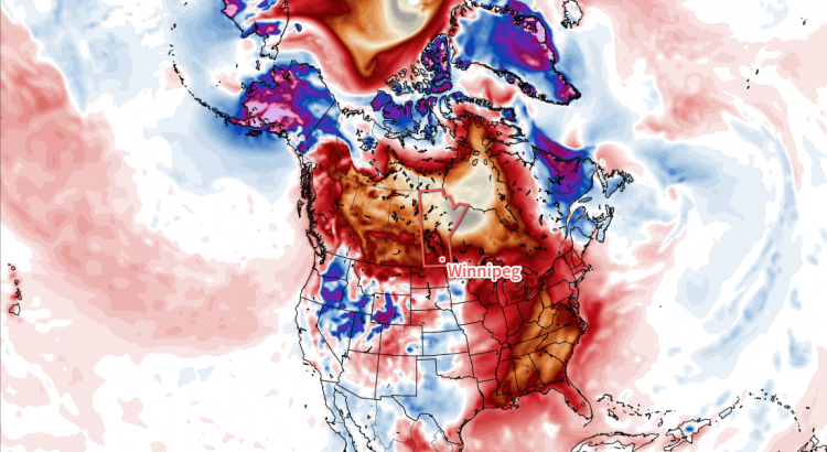
A potent upper-level jet is digging a trough off the western coast of the United States while at the same time an upper-level low meanders northeastwards from New Mexico into the Central Plains of the United States. Over the coming days, the digging upper-level trough over the west coast will tilt eastwards and absorb the upper-level low, merging into a rather large vortex that will then push several plumes of moisture northwards across Southern Manitoba.

It can’t be understated how complex the evolution expected to happen this weekend is. Details about precipitation will almost certainly change between now and then. That said, a few generalities…

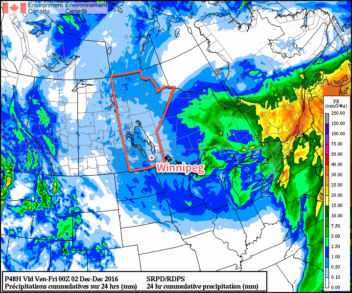
The weekend will be fairly mild with temperatures hovering at or above the freezing mark, with overnight lows within a degree or two of the daytime highs. It will be cloudy throughout, with a chance of snow or rain on both Saturday and Sunday. This could be very light, or a more significant storm depending on how things set up.

With a large area of lift moving in over the region, there will also be a chance for fog and drizzle through the weekend, but whether or not it forms will depend exactly on how this weather system sets up.

So, in short: a nice end to the work week will be followed by a mild but messy weekend. We’ll have more details on exactly what to expect in our next forecast on Friday.

Winnipeg’s seasonal daytime high is currently -13°C while the seasonal overnight low is -23°C.

Temperatures Soar For The Week Ahead

Very mild temperatures will spread into Southern Manitoba this week sending daytime highs soaring to over 10°C above normal for mid-January.

The week will start with one more day with seasonal temperatures in Winnipeg & the Red River Valley as mainly sunny skies combine with light winds as temperatures climb to a high near -6°C. Temperatures will dip to around -11°C tonight as winds begin to pick up from the south in advance of an incoming warm front.

Tuesday and Wednesday will bring the arrival of warmer weather to the region as a warm front sweeps eastwards across the province. Tuesday will see winds increasing out of the south to around 30-40 km/h while temperatures climb to a high near -3°C late in the day. The winds will diminish in the evening and temperatures will dip to a low near -5 or -6°C. On Wednesday, the warm air will push even further east, sending daytime highs to the 0°C mark in the Red River Valley with fairly light winds. Expect temperatures to dip down to around -2 or -3°C on Wednesday night.

The forecast 850mb temperatures show clearly the push of mild air across the Prairies through mid-week.

Both Tuesday and Wednesday have some uncertainty as to how much cloud will move in. At best, we could expect mixed skies, however I think it will lean towards the cloudier side than the sunnier side. Having fairly cloudy conditions as we warm up to the freezing mark in January would not exactly be uncommon for this area.

Long Range

The second half of the week will continue to bring mild temperatures with daytime highs near the freezing mark and variable cloudiness. Heading into the weekend, it begins to appear that the weather will begin to get a bit busier as the storm track shifts towards our region. It looks like, at this point, Saturday may bring a chance of rain or freezing rain, but amounts would be fairly light. The remainder of the weekend looks cloudy and mild.

Heading into the start of next week, models are beginning to converge on the development of another Colorado Low that would impact our region. It’s still very early, so as usual plenty can change between now and then, but at the moment it appears that this system could bring snow into Winnipeg & the Red River Valley sometime Monday and persist through Tuesday. Forecast storm total amounts are generally in the 10-20 cm right now. We’ll be keeping an eye on this system as we get closer and things begin to shape up more.

Winnipeg’s seasonal daytime high is currently -13°C while the seasonal overnight low is -24°C.

Temperatures Will Be Cooler, But Remain Above Seasonal

Despite moving onto the back-side of a massive low pressure system with gusty northerly winds, Southern Manitoba won’t be falling into a deep freeze; the cooler temperatures moving in place will instead be cooler but still above typical seasonal values. Alongside the minor cool-down, the region will be dealing with periods of light snow as the low pressure system that brought a mix of rain and snow over the past couple days slowly moves off into Eastern Canada.

Skies will be mainly cloudy over the coming few days, with a slight chance of the odd ray of sunshine on Thursday and a better chance of skies becoming mixed on Friday. Temperatures will be relatively steady through the week as well, with temperatures steady near 0°C today giving way to daytime highs near -2°C on Thursday and Friday. Lows will fall just a few degrees below the highs, with lows near -5°C on Thursday and Friday. On the off chance that some clear patches show up at night, temperatures have the potential to plummet closer to the -9 or -10°C, but those values won’t be seen underneath cloudy skies.

The RDPS forecast shows light snow accumulatiosn across much of Southern Manitoba on Wednesday night through Thursday.

Today will bring periods of light snow to the region, tapering off to scattered flurries tonight and through the next couple days. By Friday, any flurry activity should be relatively isolated. No notable accumulations are expected from the snow over the coming days.

Winds will be out of the north at 20-30 km/h through the day with a few gusts on top of that. The wind will diminish tonight, followed by light winds for Thursday and Friday.

November Looking To Take Top Spot As Warmest on Record

Winnipeg continues it’s incredibly warm winter with non-stop above-normal temperatures.

The average daily high temperature for November 2016 now sits at 7.4°C, beating out the previous record of 7.1°C set in 2009. The average daily low temperature for the month is now at -1.0°C, crushing the previous record of -3.2°C set in 1923. Combine the two, and the average daily mean temperature sits at 3.2°C, beating the 117 year old record of 1.3°C set in 1899 by almost 2°C.

The unprecedented warmth will fade as we head into December, though; all long-range guidance is suggesting a return to seasonal temperatures in the coming week. While colder air does look like it will begin working its way into the Prairies in the coming weeks, so far it appears most of it will remain west of Manitoba, leaving us with a continued stretch of near-seasonal temperatures ahead.

Winnipeg’s seasonal daytime high is currently -6°C while the seasonal overnight low is -15°C.

Mild Conditions Continue

The remainder of the work week will be marked by daytime highs climbing above 0°C, continuing an above-normal temperature trend that has persisted through every single day so far this November.

Today will be damp but mild as stratus cloud bringing drizzle and fog lingers throughout the region. A few isolated flurries may also be thrown into the mix as well, but we’re done with any accumulating snow for now. We should reach a high temperature of +2°C, which will continue to melt the snow that fell yesterday morning across the city. Winds will be light out of the northwest at 10-15 km/h. Expect cloudy skies tonight with a continued chance of drizzle or freezing drizzle alongside fog patches. Tonight’s low should be near -1°C.

Thursday will likely be more of the same with low-level moisture trapped under a slack flow. Temperatures will reach a high near +2°C with light winds. There will be a very slight chance of some patchy drizzle or fog. For Thursday night, skies will remain mostly cloudy until some clearing begins working in late overnight. Temperatures will dip to a low near -2°C.

This forecast sounding for Thursday afternoon in Winnipeg shows a deep layer of saturated air in the lower atomosphere.

Friday will likely bring some sunshine back to the region with more above-normal temperatures on tap as the daytime high climbs to +2 or +3°C. Skies will gradually clear through the day and things should finally start to dry out a bit. Winds will be light out of the south.

Tuesday Snow Breaks Record

While the actual snowfall event that began early in the morning on Tuesday November 22 was unimpressive with just 2-5 cm of fresh snow accumulation across the city, it managed to break a long-standing record: the latest day of first measurable snowfall.

RankDate of First Measurable Snowfall (≥ 0.2cm)Year
1November 222016
2November 211963
3November 201953
4November 191931
5 tie
5 tie
November 18
November 18
1880
2015
7November 171890
8November 161977
9November 151903

Yesterday’s snowfall was the latest in the year Winnipeg has seen its first fall/winter snow in the 144 year old record that dates back to 1872.

Long Range

The weekend looks quite nice with a fair amount of sun and mild temperatures with daytime highs continuing slightly above the freezing mark. Heading into next week, though, it appears another significant winter storm may be brewing. Some long-range models are hinting at the possibility of 10-25 cm over the Red River Valley through the first half of next week, but it’s still too early to really comment on how accurate any of those predictions will be.

That said, the continued significant story is the above-normal temperatures that have been in place the entire month of November and continue to be forecast through to the end of the month. If we do indeed see high temperatures close to what is currently forecast, November will be in the contest for the warmest November on record!

Winnipeg’s seasonal daytime high is currently -4°C while the seasonal overnight low is -13°C.