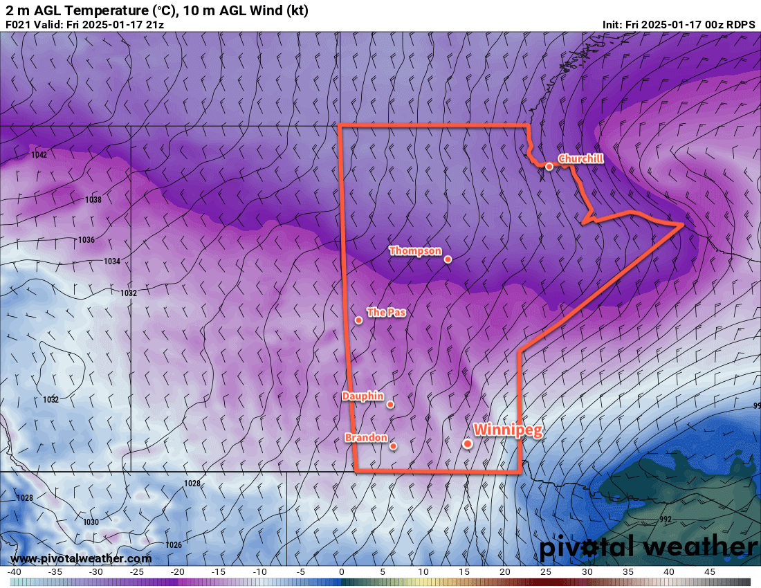
With Arctic air firmly entrenched over the Prairies, the weather will be relatively quiet and cold for Winnipeg.
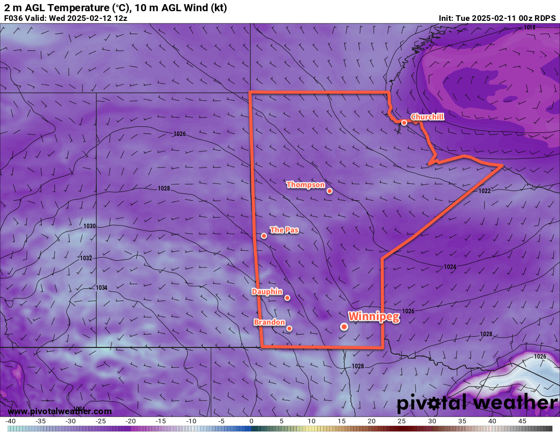
The forecast for this week will be a pretty straightforward one; little change is expected across the region through the work week. Arctic air will remain in place over the area, bringing cool daytime highs generally near -20 °C — perhaps a degree or two warmer at times — and overnight lows dipping down into the low -20s or the -30s. Wind chill values of -30 to -40 will be common through the week, with the change that some nights will bring wind chill values of -45 to -40, which would qualify for extreme cold warnings from the Meteorological Service of Canada.
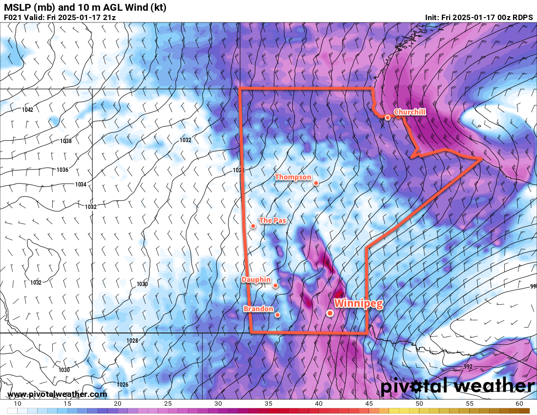
The wind will be light out of the south at 10 to 20 km/h today, then shift to light and variable on Wednesday as a weak trough of low pressure moves through the region. It will exit later Wednesday and bring light northwest winds back to the area. Winds will then shift to the south and pick up into the 10 to 20 km/h range on Thursday as a surface high passes to the south and a weak low pushes towards western Manitoba.
Little weather will impact the region this week. The Winnipeg area will see sunny skies today, followed by some cloud cover on Wednesday as the trough moves through. Skies should clear up Wednesday night bringing sunshine back to the region for much of Thursday. Some cloud may begin to push in late in the day as that low pressure system nudges into the province.
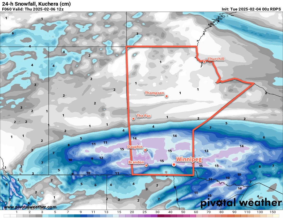
When there is cloud cover, there’s a chance that the region could see some light snow or ice crystals; no notable accumulating snow is expected this week though.
Long Range Outlook
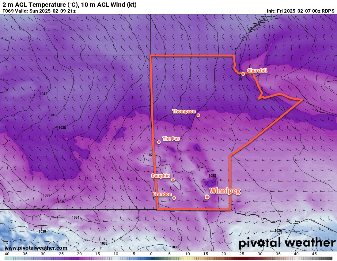
Heading into the weekend, another Arctic high will gradually shift across the Prairies. This will bring northwest to westerly winds with clearing skies. Temperatures will stay cold with similar temperatures through the weekend as seen during the week.
So it’s cold and quiet weather ahead. Fortunately it’s not as intense a deep-freeze as sometimes…I’ll take highs near -20 °C over those ruthless cold snaps where we barely reach -27 °C. That said, the nights will be cold and there will be little relief likely until the last week of February. Stay warm!
Today’s seasonal daytime high in Winnipeg is -9 °C while the seasonal overnight low is -19 °C.