Seasonably Pleasant Weather Ahead

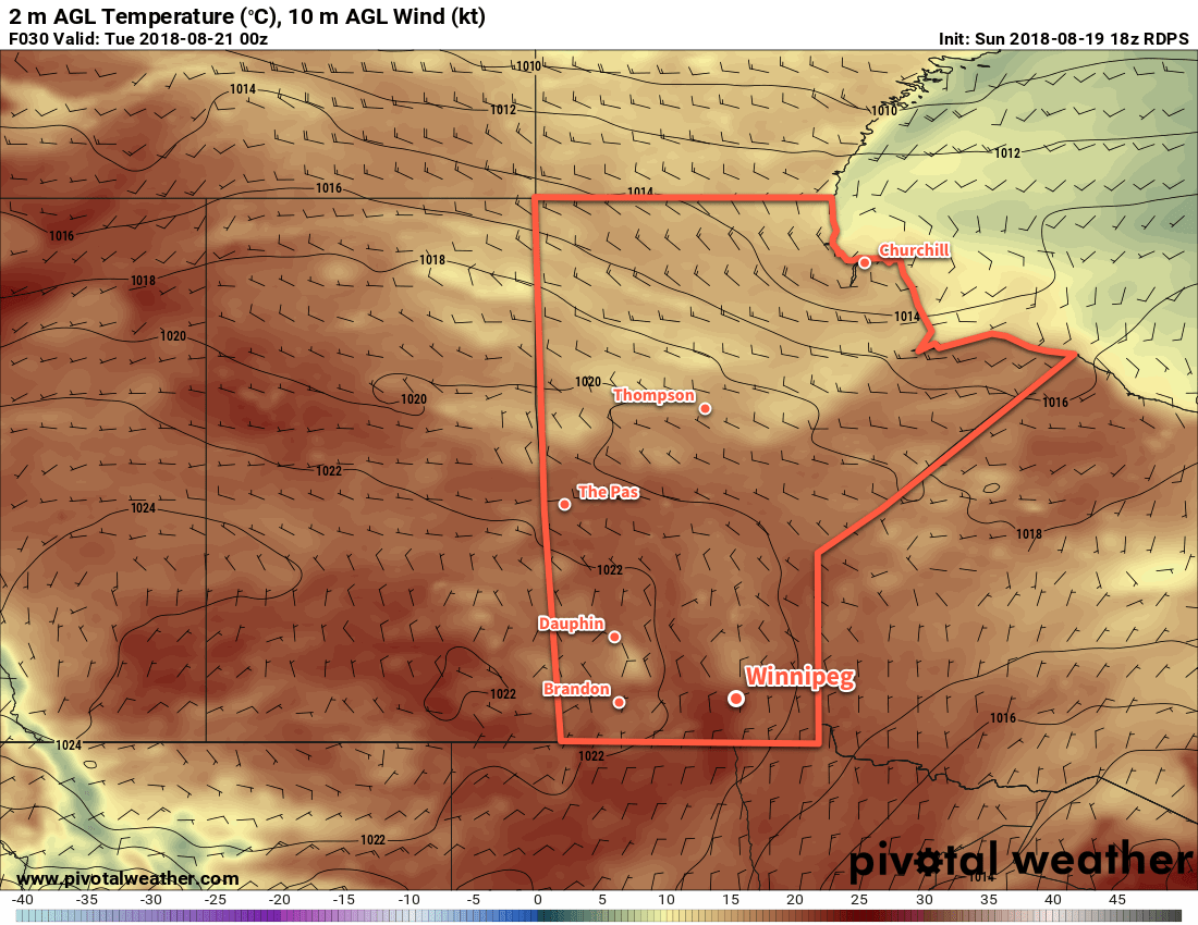
Winnipeg will see near-seasonal temperatures and variable cloudiness through the remainder of the work week.

Winnipeg’s cool start to the day will continue right through as a ridge of high pressure moves through the area. Under sunny skies, the city will see temperatures climb to a below-seasonal high near 19°C. It will be another cool night with temperatures dipping down to a low near 4 or 5 °C. It doesn’t look too likely, but there will undoubtedly be a small chance for isolated patches of frost outside the city, particularly to the southeast.

Thursday will bring a return to seasonal temperatures as the ridge shuffles off to the east. Temperatures will climb to a high near 22°C with light winds and mainly sunny skies. By evening, some cloud cover will begin spreading into the Red River Valley as a warm front slowly pushes towards the region from the southwest. Temperatures should head to a low near 13°C on Thursday night under mixed to cloudy skies. There will be a slight chance of some showers overnight as a warm front pushes towards the region.

Near-seasonal temperatures will return to the region on Thursday

Friday will see warmer air trying to push into the region but not quite making it. Slowly lifted northwards by a low pressure system developing over Alberta, a warm front will lie southeastwards across Saskatchewan and into central North Dakota. Ahead of the warm front in the Red River Valley, southeasterly winds of 30 gusting 50 km/h will develop with mixed skies. With a bit less sunshine and the warmer air stuck to the southwest, Winnipeg will see a seasonal high near 22°C once again. This setup will also bring a small chance of a few showers to the region in the afternoon and through the night, but at this point the chances look low.

Long Range Outlook

Conditions will turn cloudier and unsettled for the weekend as the Alberta low finally pushes eastwards across the Prairies. Daytime highs will push back towards the mid-20s alongside breezy southerly winds. The city will see several chances for showers or thunderstorms both Saturday and Sunday. Forecasts show settled weather returning for Monday, but early indications are that the chance for showers returns on Tuesday and an unsettled pattern may persist for much of the remainder of the work week.

Winnipeg’s seasonal daytime high is currently 21°C while the seasonal overnight low is 8°C.

Cooler, Smoke-Free Start To The Week

Winnipeg will continue to see relief from the smoke as a cooler air mass from the north remains in place to start the week.

Winnipeggers can breathe easy today thanks to a crisp, cool air mass that moved into the province behind a cold frontal passage on Saturday night. The city will see a smoke-free high near 23°C today with northerly winds near 20 km/h. A few clouds will move through later this afternoon. Overnight lows will be cooler than seasonal due to a ridge of high pressure moving into the region overnight. Winnipeg’s low should drop to around 7°C.

The ridge of high pressure will drop southwards through the day on Tuesday, bringing westerly winds of 15 to 25 km/h to the region. Temperatures will be cool once again with a high near 24°C. A weak upper-level disturbance will bring cloudier skies for a portion of the afternoon, but no rain is expected. Temperatures will dip down to a low near 10°C tonight under clear skies.

A ridge of high pressure moving southwards through the Prairies is bringing cooler temperatures to the region

By mid-week, an upper-level ridge will begin moving back into the region. This will bring warmer weather and suppress any cloud cover. I don’t say sunny skies, though, because the upper-level ridge will bring a westerly flow aloft back to the region. This will likely spread smoke from the B.C. wildfires back across the Prairies. It’s too early to say exactly how smoky it will become, but expect hazy conditions at the very least, if not a return to full-fledged smoke cover. Given sunshine, temperatures should reach a high near 28°C, but if smoke returns and is relatively thick, then it could be a few degrees cooler than that. Winds will be 10 to 20 km/h out of the west-southwest.

Long Range Outlook

The remainder of the week looks increasingly warm and humid. Unsettled conditions may develop Thursday night into Friday, potentially bringing some needed rain to the region. Smoke cover may inhibit daytime highs, but it’s too early to know exactly how much impact it will have. The weekend is looking fairly cloudy with a return to seasonal temperatures.

Winnipeg’s seasonal daytime high is currently 24°C while the seasonal overnight low is 11°C.

Heat Wave Breaks for Short-Lived Cool Down

Winnipeg will see cooler weather move in today, bringing an end to the heat wave that brought record-setting warmth to the city over the weekend. The relief will be brief, though; daytime highs will climb back into the low 30s on Wednesday.

Winnipeg will see temperatures fall through the day today as a cold front pushes through the region. Cloud cover associated with the front will move in early this morning, bringing mainly cloudy skies for much of the remainder of the day. Winds will increase out of the northwest to 30 gusting 50 km/h midday, keeping temperatures cool with a high of 23°C. The wind will gradually diminish overnight and the cloudy skies should gradually clear. Temperatures will dip down to a low near 9°C.

A high pressure system will move into the region on Tuesday, bringing northerly winds of 10 to 20 km/h and partly cloudy skies. Winnipeg’s high near 22°C will be well below-seasonal for this time of year and a far cry from the 37.5°C seen on Sunday. Temperatures will remain cool on Tuesday night with a low near 11°C and light winds.

“https://www.aweathermoment.com/wordpress/wp-content/uploads/2018/08/2018-08-13-00Z_2018-08-15-00Z_GDPS_sfct_anom_c.ca_c.png”> Winnipeg and the Red River Valley will see daytime highs around 5°C below normal for mid-August[/captio
And that brings an end to the cooler temperatures. The heat returns on Wednesday as another upper-level ridge begins building across the southern Prairies. Winnipeg should see a high near 31°C with winds out of the south-southwest at 20 to 30 km/h. Skies should remain mainly sunny through the day. Expect a low near 17°C on Wednesday night.

Long Range Outlook

The remainder of the week is looking like Winnipeg will continue to see above-normal temperatures with highs in the low 30s through the remainder of the work week. There are some hints that the weekend may bring a return to seasonal temperatures alongside some unsettled conditions, but it looks rather uncertain at this point.

All in all, it looks like a pretty nice stretch of weather coming up with near to slightly above-seasonal highs well into next week.

Winnipeg’s seasonal daytime high is currently 25°C while the seasonal overnight low is 12°C.

Photo by Gabriela Parra on Unsplash

Great Summer Weekend Ahead

Winnipeg will see a beautiful weekend with a fair amount of sunshine, warm temperatures, and just a slight chance of a passing shower or two.

The general weather pattern this weekend will see a weak high pressure system moving through the Prairies. It will bring generally pleasant and mild weather to the region with highs in Winnipeg forecast to reach the upper 20s. Overnight lows will gradually warm as well, climbing into the mid-teens by the end of the weekend.

Winds won’t be a bother over the coming days, either, with light northerly winds shifting to westerly sometime Saturday night.

The region will see plenty of sunshine, with cloud cover following the ebb and flow of the temperatures. Generally sunny mornings will cede to afternoon clouds as temperatures warm up. In the evening, skies will clear as temperatures cool.

Lastly, while the chances for any one spot to see rain remain low, isolated to scattered afternoon showers are possible. It looks like they will be very hit and miss, so just keep an eye on the sky over the next couple afternoons in case a rouge shower passes through.

Long Range Outlook

The pleasant summer weather will spill over into the start of next week. Generally sunny conditions with daytime highs in the upper 20s will continue into Monday. A low pressure system passing through on Tuesday looks like it will bring showers or thunderstorms to the region followed by a return to seasonal temperatures and variable cloudiness.

Winnipeg’s seasonal daytime high is currently 26°C while the seasonal overnight low is 13°C.