Cooler, Cloudier Start To The Week, Then Warming Up

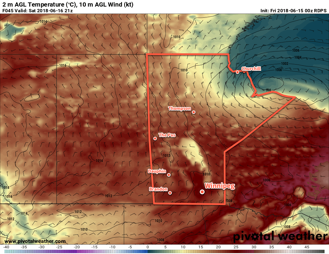
Winnipeg will see below-seasonal temperatures on Monday, then rebound back towards a summer sizzler mid-week with daytime highs potentially climbing above 30°C.

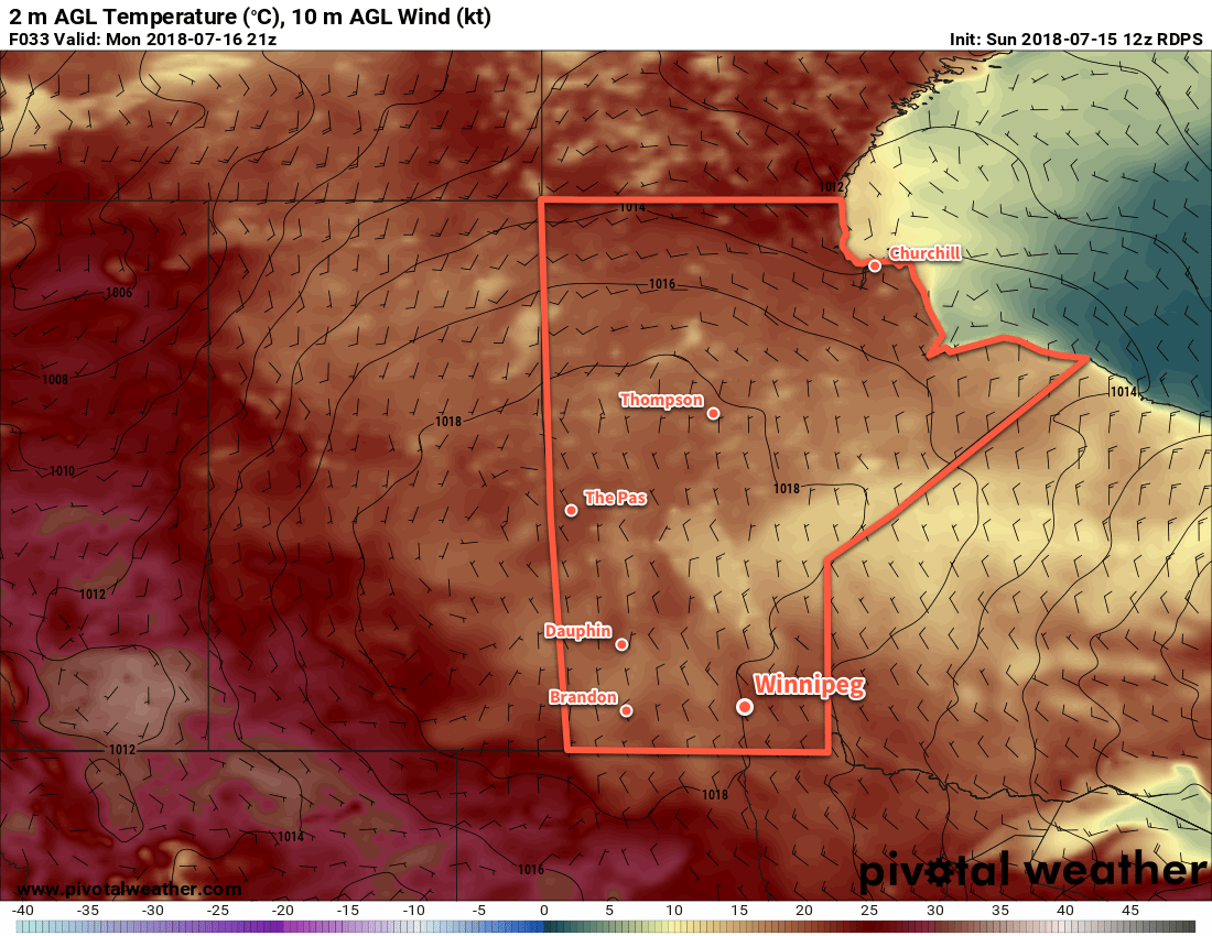
Winnipeg will see markedly cooler temperatures today as a ridge of high pressure builds into the region behind the cold front that moved through southern Manitoba on Saturday night. Daytime high of just 20°C will be the coolest Winnipeg has seen since June 4th when the temperature topped out at 19.7°C. The city will see some cloudy periods, but rain isn’t a concern. Winds will continue out of the northwest at 20 to 30 km/h through the day, then diminish early this evening. Under clearing skies Winnipeg will see a low near 9°C tonight.

RDSP 2m Temperature Forecast valid 21Z Monday July 16, 2018
Significantly cooler temperatures will be in place across Manitoba today with daytime highs generally in the 15 to 20°C range.

Tuesday and Wednesday will light southerly winds as a return flow develops over southern Manitoba. Warmer temperatures will build back into the province into the middle of the week. Tuesday will see a high near 26°C, then more summer sizzle arrives on Wednesday with a high near 30°C. Skies will remain sunny on Tuesday, but Wednesday will see mixed to cloudier skies develop in the afternoon. Overnight lows will climb as the warmer air moves into the province. Lows will fall into the mid-teens on Tuesday night followed by a very mild low near 20°C on Wednesday night.

Fortunately, humidity levels will remain comfortable for the next 3 days. Muggier conditions are forecast to redevelop on Wednesday night as a more humid air mass spreads out of the Dakotas. At the moment, it doesn’t look too bad with dew points in the upper teens expected. Humidity becomes significantly more oppressive once the dew point exceeds 20°C.

Long Range Outlook

Wednesday night into Thursday morning will bring a renewed thunderstorm risk to the region. A low pressure system is forecast to move through the Dakotas and may end up moving northwards into southern Manitoba. If it does so, it will likely support an area of elevated convection on Wednesday night, then generally unsettled weather on Thursday. If the low ends up remaining south of the border, southern Manitoba should still see a fair amount of cloud, but much less rainfall.

Cloudier weather will likely stick around for part of Friday as well, then a cold front swings through and ushers in drier conditions. Temperatures should remain warm through the end of the week with daytime highs in the upper twenties and lows in the mid- to upper teens.

Winnipeg’s seasonal daytime high is currently 26°C while the seasonal overnight low is 13°C.


Calm Weekend Brings Seasonal Temperatures and Increasing Cloudiness

Calmer conditions will settle over the Red River Valley in the wake of last night’s widespread thunderstorm activity. Winnipeg will see seasonal temperatures with increasing cloudiness through the weekend.

Winnipeg will begin the day with some cloud cover lingering from last night’s thunderstorms, but a cold front sweeping through midday will usher in drier air and bring clearing into the Red River Valley. It will still be quite warm today, though, with Winnipeg’s high expected to reach 28°C. Winds will also be light, expected to remain out of the west-southwest at 10 to 20 km/h. All in all a pleasant afternoon to follow the rather active evening across the Red River Valley last night.

Skies should remain partly cloudy to mixed tonight with a low near 15°C in Winnipeg.

Saturday will bring more cloud back to southern Manitoba as it streams into the region from the northern United States. Despite that, it will still be a fairly nice day in Winnipeg. A seasonal high near 24°C with light north winds will make for comfortable conditions to be outside. Skies will remain mixed to mostly cloudy on Saturday night with a low near 14°C.

Seasonal temperatures will be in place over the Red River Valley on Saturday with a light north wind

A ridge of high pressure pushing towards the province on Sunday will keep the weather fairly quiet with another day of seasonal highs and light north winds. Skies will be mostly cloudy as the region continues to see cloud cover spread northeast from the United States.

Throughout the weekend, there will be a slow-moving weather system moving through the northern United States. At this point it looks like all the rain associated with them should remain south of the border, held back by the ridge of high pressure over the southern Prairies.

Long Range Outlook

Next week looks fantastic for those who love summer! Skies should clear for Monday, bringing plenty fo sunshine back to the region. An upper-level ridge is forecast to build into the Prairies through the week, bringing plenty of sunshine and temperatures that climb back into the upper 20s or low 30s.

The upper ridge should also keep things dry throughout the week.

Winnipeg’s seasonal daytime high is currently 24°C while the seasonal overnight low is 11°C.

Summer Sizzler For The Game 6 Winnipeg Whiteout Street Party

Temperatures will soar into the upper 20’s in Winnipeg today, bringing the first taste of summer for fans heading downtown to cheer on the Jets!

Winnipeg will see light southerly winds with temperatures soaring to a high near 29°C today. Skies will remain sunny with southwesterly winds of 10 to 20 km/h for much of the day, but a cold front slumping southwards will move through Winnipeg this evening, bringing northerly winds near 30 km/h, slightly cooler temperatures, and some cloud cover.

Winnipeg Jets Whiteout Party!
If you’re heading downtown for the Jets game tonight, you’ll be in for some great conditions. Starting around 6PM, temperatures downtown will be near 26°C with light winds. The cold front will push through around 7 or 8PM, bringing northerly winds of 15-25 km/h and cooling temperatures to around 18°C by 10PM. A bit of cloud cover will move in through the evening, producing mixed to mostly cloudy skies by late in the evening. It looks like everything should remain dry with the cold front not likely bringing any rain to the city.

This warm weather will come with a risk, though. Extremely dry conditions continue, and as yesterday’s fire on Wilkes showed, it doesn’t take much to start a blaze.1 Relative humidity values will be under 20% today, continuing to present a significant fire hazard.

RDPS 2m Temperature Forecast valid 21Z Monday May 7, 2018
Hot conditions with temperatures nearing the 30°C mark will be in place over southern Manitoba on Monday afternoon

The latter half of tonight will bring cloudy skies to the city with temperatures dipping to a low near 12°C.

Tuesday will bring mixed to mostly cloudy skies to Winnipeg. Temperatures will be much cooler than Monday, but still quite pleasant with a high near 19°C. Winds will remain breezy out of the northeast at 20 to 30 km/h. Beginning in early evening, a chance for showers or thunderstorms will develop through the Red River Valley that will persist through the night. Activity isn’t necessarily expected to be significant or widespread, but a little activity is possible as a low pressure system moves through the province. Winnipeg should see a low near 12°C on Tuesday night.

GDPS 10m Wind Forecast valid 00Z Thursday May 10, 2018
Breezy conditions will develop in Winnipeg behind a cold front that moves through the area on Wednesday afternoon

Wednesday will marked by breezy northerly winds in the wake of a cold front that moves through early in the afternoon. Temperatures will climb to a high near 18°C before the front moves through, then cool to the low-teens through the afternoon. Winds will pick up out of the north behind the front, strengthening to 30 to 40 km/h. On the bright side, the northerly winds will clear out the cloud in the Red River Valley, bringing mainly clear skies for Wednesday night with a low near +3°C.

Long Range Outlook

The remainder of the week will bring cooler temperatures and variable cloudiness. Unfortunately, no significant rain is on the horizon, so the dry weather continues.

Winnipeg’s seasonal daytime high is currently 18°C while the seasonal overnight low is 4°C.

  1. Numerous witnesses on scene reported sparks from a passing train as the igniter for the fires. No formal announcement had been made yet at the time of writing.

Pleasant Weekend Ahead

Winnipeg will see a pleasant spring weekend ahead with plenty of sun and daytime highs near 20°C.

A high pressure system gradually moving into the province over the coming days will bring sunshine and seasonably warm temperatures. Winds will be out of the northwest at around 20 km/h today under mainly sunny skies with a high near 20°C. A few clouds will move into the region tonight as a weak disturbance rolls through, bringing just a slight chance of showers to the region through the overnight hours. Temperatures will dip down to around 5°C for the low.

RDPS 2m Temperature Forecast valid 21Z Saturday May 5, 2018
An area of high pressure moving through the province will bring sunshine and seasonably mild temperatures to southern Manitoba this weekend

Winnipeg will see partly cloudy skies this weekend with daytime highs close to the 20°C mark. Winds on Saturday will be out of the north at around 20 km/h as the high pressure system approaches. On Sunday, winds shift to light out of the south as the high exits the province. Saturday will bring another seasonal low near 4°C, but warmer air building into the region on Sunday will keep lows much warmer on Sunday night. Winnipeg should see a low around 10°C heading into Monday morning.

Long Range Outlook

Next week continues to look seasonably warm, however Winnipeg may finally begin to see the chance for some much-needed rain. Forecasts show the storm track pushing northwards out of the United States into the southern Prairies with the  potential for rain or thunderstorms Monday night into Tuesday. This chance repeats again on Friday or Saturday as another low moves through.

Unfortunately, these systems will be driven largely by convection, making forecasts this far out practically useless. It’s safe to say that it will be a bit more unsettled and Winnipeg will see more cloud next week; we’ll have to wait and see if that translates into rain.

Winnipeg’s seasonal daytime high is currently 17°C while the seasonal overnight low is 3°C.