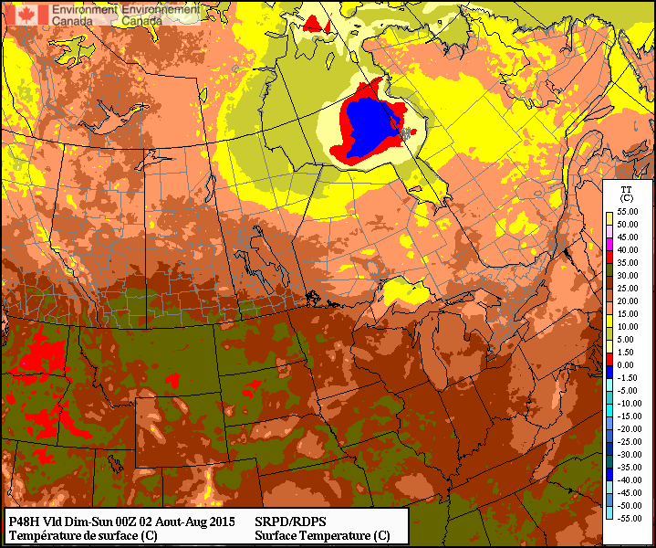
This week will start out on the cool side with high temperatures in the low twenties.
Monday
Today will be mainly sunny with temperatures in the low twenties. The average high temperature for early August is 26°C, so this will represent cooler than normal weather. The wind will be north-west at 30km/h.
Tuesday
Tuesday will see much the same weather as Monday, with temperatures in the low twenties. Skies should once again be mainly sunny and winds will be light.
Wednesday
Wednesday may feature showers in southern Manitoba as a low pressure system passes through the region. Accumulations look to be fairly small at this point, so it will not be a significant event. Besides the rain, temperatures will remain below seasonal with highs in the low twenties. Winds will be breezy from the south.
After a busy couple weeks across Southern Manitoba, a stretch of mild, fairly quiet weather is ahead thanks to weak upper-level ridging over the eastern Prairies.
Today and tomorrow will both be pleasant days with a few afternoon clouds and highs in 26 or 27°C range. Winds will be a bit breezy out of the west today, but much calmer conditions will be seen on Saturday over the Red River Valley. Expect an overnight low near 10°C tonight and in the mid-teens on Saturday night.
The only chance for precipitation will come late overnight Saturday or Sunday morning as a trough rotates through the Interlake into the Red River Valley. It doesn’t seem like the showers will be too intense or organized, so at this point it seems like there’s just a slight chance of them. Otherwise, Sunday will be a fairly pleasant day with a high in the mid-20’s and winds picking up out of the northwest through the day to around 30km/h.
The RDPS is forecasting temperatures in the mid-to-upper 20’s over Southern Manitoba for Saturday afternoon.
Early next week looks to start off a little bit cool with highs only in the low-to-mid 20’s. At this point, it looks like the next chance for any organized precipitation will hold off until the middle of next week!
After a stretch of summer weather last week that saw daytime highs climbing into the mid-to-upper 20’s, cooler weather has moved into Southern Manitoba behind the weekend’s cold fronts that will start the week off with cooler weather. Temperatures will rebound quickly through what will be a dry & quiet start to the week before things turn more unsettled through the week’s second half.
Today will be the coolest day of the next few with temperatures climbing to just 17 or 18°C as the main axis of cold air behind the weekend’s cold fronts moves across Southern Manitoba. There will be a bit of morning drizzle, but then things should scatter out nicely and Winnipeg will be left with partly cloudy skies through much of the remainder of the day. Winds will be out of the north at around 20 km/h. The clouds will clear out tonight and much of the Red River Valley will see a low near 9°C with light winds.
Tomorrow will bring warmer air to the region; daytime highs will be around 5°C warmer than today at the 22–23°C mark. Winds will be light. The day will start sunny, but by the afternoon cloud associated with a weather system moving through North Dakota will spill across the Red River Valley bringing variable cloudiness; in the southern valley it will be overcast through much of the afternoon while further north in Winnipeg it will be a little more variable and a bit later in arriving. Skies will clear overnight as the temperature drops to around 12°C.
A warm front moving through on Wednesday morning will bring warmer weather back to Winnipeg.
Wednesday will see warm weather return with daytime highs climbing back to the mid–20’s with just a few clouds. Winds will continue to be fairly light, making for a very pleasant day. We’ll see some cloudiness on Wednesday night with a chance of showers. The temperature will drop just below 10°C or so.
Unsettled Second Half of the Week
Cooler, more unsettled weather will move into the Red River Valley for the second half of the week. Temperatures will drop back into the high teens or low 20’s with an increasing chance of shower activity towards the end of the week. There’s still a fair amount of uncertainty in location, but in general it looks like Thursday will see the shower activity west of the Red River Valley and see it push eastwards for Friday into the weekend. Like this past weekend, it likely won’t be a rainy weekend, but rather one with some chances for periods of wet weather.
The first half of this week will bring generally pleasant summer weather to Winnipeg & the Red River Valley. Some showers or thunderstorms may be possible on Monday and/or Tuesday, but mainly south and east of Winnipeg.
Monday
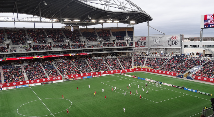
Today will be a beautiful day for the first 2015 FIFA Women’s World Cup game played here in Winnipeg. Skies will be mainly sunny and high temperatures will climb into the upper twenties. Winds will be relatively light from the north-west at 20 km/h or lower. There may be a few passing showers or very weak thunderstorms south and east of Winnipeg, but nothing of particular significance. Overall it will be a very nice day!
Tuesday
Tuesday will see mainly sunny skies prevail once again, with temperatures in the mid twenties over much of southern Manitoba. Winds will be fairly gusty from the north-west at 30km/h gusting up to 50km/h. Similar to Monday, there will be a risk of thunderstorms south and east of Winnipeg. The risk for storms may shift in later forecasts, but presently it appears that eastern Manitoba could see some marginally severe storms, with perhaps some severe hail. We will provide another update if this threat is expected to materialize.
Wednesday
Benign weather looks to return for Wednesday with mainly sunny skies and no precipitation expected. Temperatures will be in the low twenties and winds will be from the north-west at 20-30km/h.
Long Range
Long range models suggest that generally normal to above-normal weather is expected for the next week or two. Frequent passing weather system will bring unsettled conditions from time to time, with a risk of thunderstorms (generally non-severe). We are certainly not in a full-blown summer pattern just yet, but average temperatures continue to warm!