Cooler Weekend Ahead for Southern Manitoba

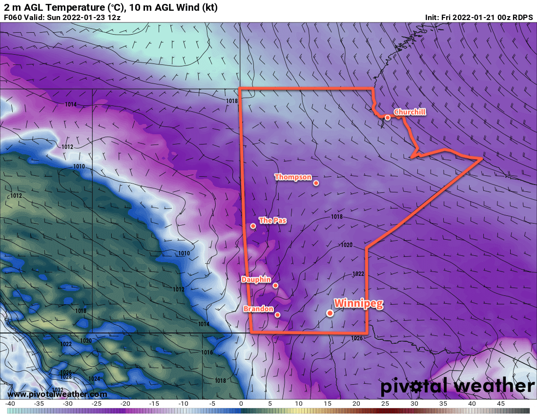
Winnipeg will see temperatures slide back into the “cold” category this weekend as another Arctic ridge settles into the province.

RDPS 2m Temperature Forecast valid 12Z Saturday February 12, 2022
Temperatures will plummet back into the -30s Friday night into Saturday morning.

Today will start out with unpleasant conditions as the region sees blowing snow with moderate northwest winds of 40–50 km/h. The wind will ease through the day with gradual clearing as an Arctic high settles into the region. Temperatures will be notably colder than yesterday with little recovery from the overnight low. Temperatures will hover in the -20 to -25 °C range through the day, then drop below -30 °C tonight under clear skies.

The cold weather will stick around for Saturday, a weak upper trough moving through will likely bring some cloud cover as well. Highs will again sit in the -20 to -25 °C range, and temperatures will head back towards -30 °C tonight.

RDPS 24hr. Snow Accumulation valid 12Z Monday February 14, 2022
More snow will move through southern Manitoba on Sunday.

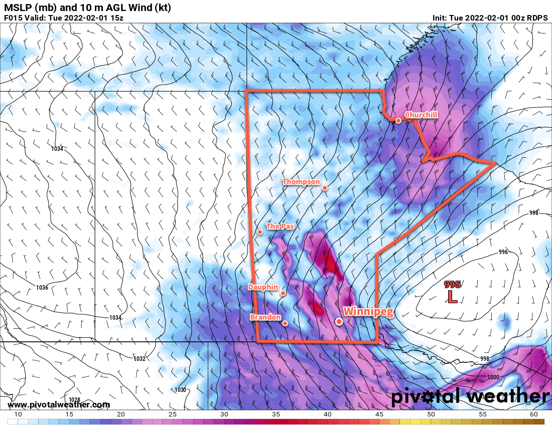
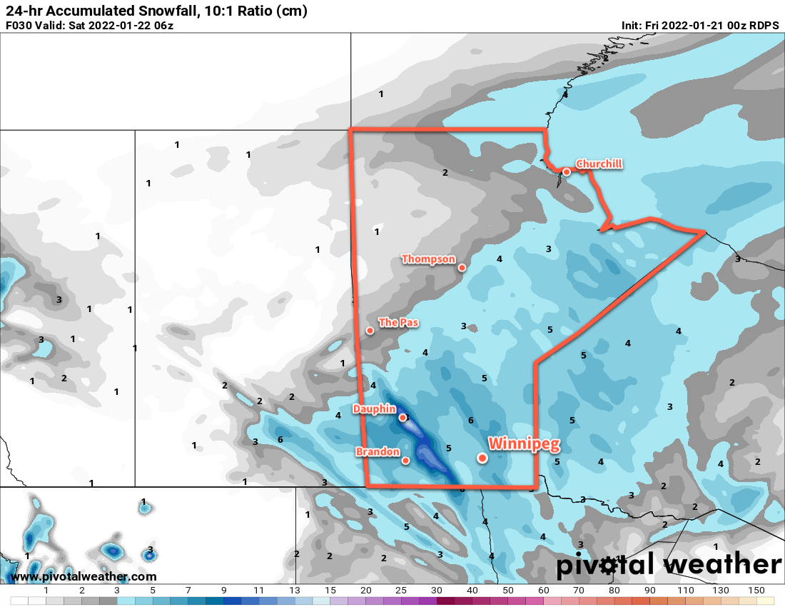
The next low pressure system to impact the region will move through on Sunday. Moderate southerly winds of 40–50 km/h will develop as cloud moves in early in the day, likely producing some areas of blowing snow through the Red River Valley. Snow will move into the region sometime midday, then taper off in the evening.

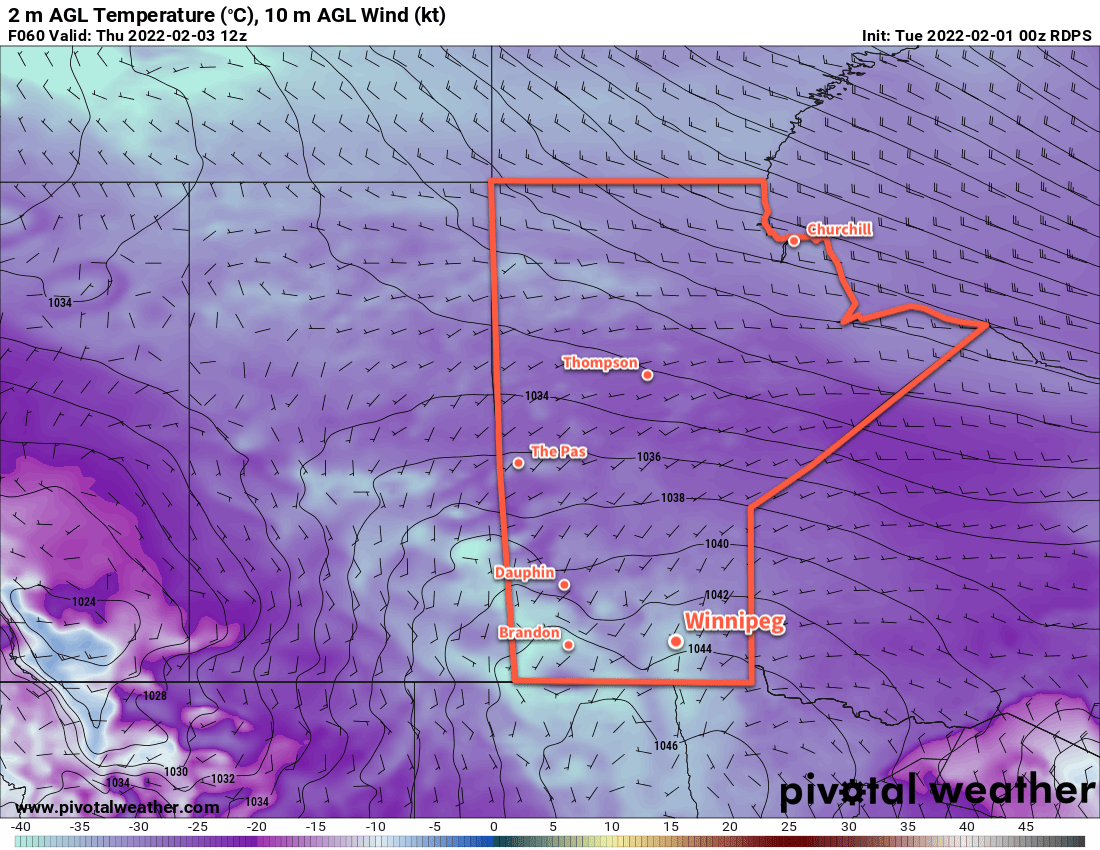
This system will push the coldest air out of the region, and while it will stay cool into next week, temperatures won’t be as bitterly cold as the region will see this weekend.

Long Range Outlook

Next week will bring varied conditions with some snow possible on Tuesday and towards the end of the week. Otherwise, the region should see sunshine in between with cool highs in the -15 to -20 °C range.

Heading towards next weekend, several forecast show moderating temperatures, with highs returning to seasonal values for the weekend.

Today’s seasonal daytime high in Winnipeg is -9 °C while the seasonal overnight low is -19 °C.

Alberta Clipper Brings Blizzard, Plunging Temperatures

A potent Alberta Clipper is bringing very strong winds and blowing snow to southern Manitoba this morning. In its wake, a surge of Arctic air will send temperatures plummeting back to bitterly cold values.

RDPS 10m Wind Forecast valid 15Z Tuesday February 1, 2022
Strong northwest winds will bring blizzard conditions to the Red River Valley on Tuesday morning.

Starting the day today, the clipper has moved off to the east and brought strong northwest winds as high as 60 gusting 80 km/h to the Red River Valley. This, combined with the 5–10 cm of snow overnight, is producing widespread blizzard conditions through the Red River Valley. Temperatures have also fallen from a high close to 0 °C near midnight into the -10 to -15 °C range. The snow will taper off today as temperatures continue to fall towards -20 °C by the end of the day.

Those strong winds will ease to 40 gusting 60 km/h by the end of the day. This will ease the blizzard conditions, but areas of poor visibility in blowing snow will likely persist across the region into the evening hours.

The wind will ease Tuesday night as skies clear and temperatures head to a low dipping below -30 °C. Extreme cold warnings may be issued if enough wind persists to hit -40 wind chills (only 10–15 km/h winds will be needed).

RDPS 2m Temperature Forecast valid 12Z Thursday February 3, 2022
Bitterly cold temperatures with lows into the -30s will return to southern Manitoba later in the week.

Mid-week will bring plenty of sun but temperatures will stay quite cold with highs in the -20 to -25 °C range and lows dipping into the -30 to -35 °C range. Extreme cold warnings are all but a certainty on Wednesday night.

A weak disturbance will begin to push a little bit of warmer air into the province on Thursday night, bringing some cloud and a chance of some light snow. Skies should clear out again for Friday.

Long Range Outlook

The end of the work week will continue cold, but a substantial push of warm air and cloud will move into the region Friday night. Another 5–10 cm of snow could fall by Saturday evening.

After that, the region will see variable cloudiness with a general warming trend to the forecasts. Next week looks like it could be a return to seasonably mild temperatures with highs climbing back above -10 °C.

Today’s seasonal daytime high in Winnipeg is -11 °C while the seasonal overnight low is -21 °C.

Wind and Blowing Snow Usher in Warmer Weather

The Red River Valley will see another period of strong winds and blowing snow as a surge of mild Pacific air moves into the region.

Before the warmth arrives, though, the region will see another cold day today. Recovering from our cold morning, highs will climb to around -22 °C today under mainly sunny skies. The wind will stay light through the day as an Arctic ridge slumps over the region.

RDPS 10m Wind Forecast valid 12Z Wednesday January 26, 2022
Strong southerly winds will develop over the Red River Valley on Tuesday night.

Conditions will deteriorate tonight as southerly winds strengthen. With warmer air pushing in from the west, southerly outflow winds from the Arctic high will intensify. The wind will pick up to around 30 km/h by midnight, then to 50 gusting 70 km/h by Wednesday morning. These strong winds will combine with the loose snowpack to produce widespread blowing snow across much of the Red River Valley. White-out conditions will be possible in some areas. The worst of the blowing snow will likely be between 5 AM and 10 AM Wednesday morning, followed by improving conditions midday. Temperatures will rise close to the mid-minus teens by the time the sun comes up on Wednesday morning.

Temperatures will continue to rise as the wind and blowing snow eases. A warm front pushing through the region will shift winds towards the west through the day with a high climbing above freezing on Wednesday afternoon. The region should see a fair amount of cloud, but little by way of any notable snowfall.

RDPS 2m Temperature Forecast valid 21Z Wednesday January 26, 2022
Very mild temperatures will move through the Red River Valley on Wednesday afternoon.

A cold front will then slump through the region on Wednesday evening, shifting winds back to the north with some flurries. A bit of blowing snow is again possible on Wednesday night, but with after a mild day and with slightly weaker winds near 40 gusting 60 km/h, it shouldn’t be as extensive or severe as seen earlier in the day. Temperatures will head back into the -15 to -20 °C range for Thursday morning.

The Winnipeg area will see seasonably cool temperatures for the rest of the work week. Highs will sit near -15 °C with lows dipping into the -20 to -25 °C range. The city should see partly cloudy skies, but more cloud cover will work into the region on Friday evening.

Long Range Outlook

Cloudier conditions will move into the Red River Valley this weekend with seasonably mild conditions. A near-seasonal temperature trend will continue into next week with skies likely staying on the cloudier side.

The general long-wave pattern shows a consistent shift of the polar vortex back to the high Arctic. This should mean that, for the next little while at least, the extremely cold Arctic outbreaks should come to an end!

Today’s seasonal daytime high in Winnipeg is -12 °C while the seasonal overnight low is -23 °C.

Windy Warm-Up Brings More Snow

Winnipeg will see a blustery return to warmer weather today as more snow moves into the region.

A low pressure system moving towards the region has brought strong southerly winds to the Red River Valley this morning. Like on Tuesday, the blowing snow will hamper visibilities on area highways this morning. Fortunately, the winds will ease through the morning and bring an end to the blowing snow.

RDPS 24hr. Snowfall Accumulation (10:1 SLR) Forecast valid 06Z Saturday January 22, 2022
Much of southern Manitoba will see close to 5 cm of snow on Sunday, but some higher amounts could fall near the terrain over the Parkland into the western Red River Valley.

A frontal wave slumping through the province this morning will bring more snow to the region as well. Snow should begin early this morning with close to 5 cm of accumulation by the time it tapers off in the afternoon. A strong cold front will sweep through the region in the afternoon ushering in strong northwest winds with a few flurries. These northwesterly winds will bring some more blowing snow to the Red River Valley through Friday evening.

The frontal wave moving through the province today will bring mild temperatures to the Red River Valley. Winnipeg should see a high this afternoon near -5 °C. That warmth will be short-lived, though, as another Arctic air mass slumps in behind the cold front. Temperatures will head down to the -20 to -25 °C range tonight.

RDPS 2m Temperature Forecast valid 12Z Sunday January 23, 2022
Very cold temperatures will be in place over southern Manitoba on Sunday morning. Note the strong warm front over Saskatchewan behind which temperatures rise above the freezing mark.

Behind this system, Winnipeg will see cooler conditions for the weekend, but not quite as bad as some of the other cold snaps lately. Highs this weekend will be in the -15 to -20 °C range both Saturday and Sunday. Saturday night will be quite cold with lows possibly dipping back below -30 °C again.

More cloud will move into the region on Sunday as a warm front pushes in from the west. Some light snow is possible in the afternoon, but it won’t be much more than a dusting. With the cloud cover and the nearby warm front, temperatures will be a bit warmer on Sunday night with a low in the -20 to -25 °C range.

Long Range Outlook

Next week will start off with colder temperatures again as another Arctic high slumps through the Prairies. Monday and Tuesday will bring daytime highs of -20 to -25 °C and and lows in the again dipping close to -30 °C.

The good news, though, is that the Polar Vortex is forecast to collapse northwards from the Baffin Island region. Its movement back toward the pole will bring a broader pattern change to Prairies. The Arctic air will be locked up further north, allowing Pacific air to spread over the region. Winnipeg will see temperatures climb to seasonably mild values for the second half of next week. The city will see highs generally in the -5 to -10 °C range.

There will likely be a fair amount of cloud around and frequent chances for some light snow, but perhaps that’s a small price to pay for some more prolonged relief from the cold.

Today’s seasonal daytime high in Winnipeg is -13 °C while the seasonal overnight low is -23 °C.