Unsettled Weather Ahead

A warm but unsettled few days are ahead as mild Pacific air surges across Southern Manitoba.

850mb Temperatures valid this evening

850mb temperatures from the NAM valid for early this evening.

Snow will taper off early this morning with a lingering chance of a stray flurry or two sticking around through much of the day across the northern half of the Red River Valley. Southerly winds will pick up through the day to 30-40*km/h as the warm front alluded to in Wednesday’s post pushes into the Valley. Temperatures will warm up quickly as the front passes with temperatures climbing to around -4 or -3°C, a few degrees warmer than the seasonal normal of about -6°C. Temperatures will remain steady through the night as that south wind continues to keep us in the warm air.

Another disturbance will pass through the northern Red River Valley tonight, however there’s some uncertainty to the areas that precipitation will fall. It currently looks like most, or all, of the precipitation will fall north of Winnipeg, focused in the Interlake region. There’s a slight chance that it will fall a bit further south, clipping Winnipeg and other areas in the northern half of the Red River Valley. If any areas in the Red River Valley are affected by this disturbance, they’ll almost certainly have to deal with freezing rain as there will a massive AFL (Above Freezing Level) just off the surface where temperatures will be nearly +10. With precipitation falling through it, the AFL will cool to 2-3°C, which is still more than warm enough to melt any snow that will be falling into it. Potentail freezing rain accumulations will be light but not insignificant at 1-2mm. Just to reiterate, the risk area for freezing rain will likely be confined to the northern half of the Red River Vally.

In addition to the weather from this disturbance, there will be the potential for freezing drizzle through the entire RRV as warm, moist air overruns our cold snowpack.

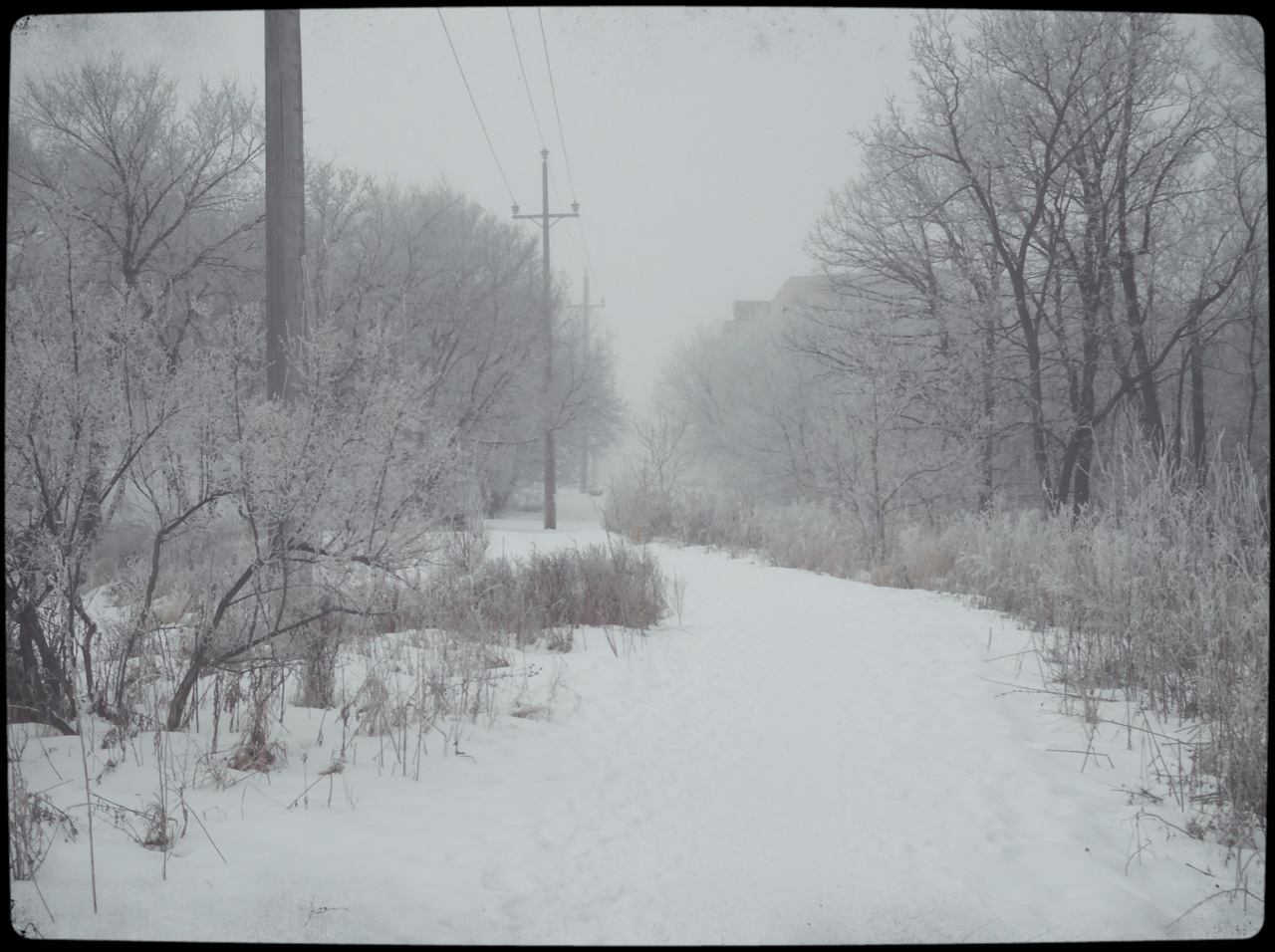
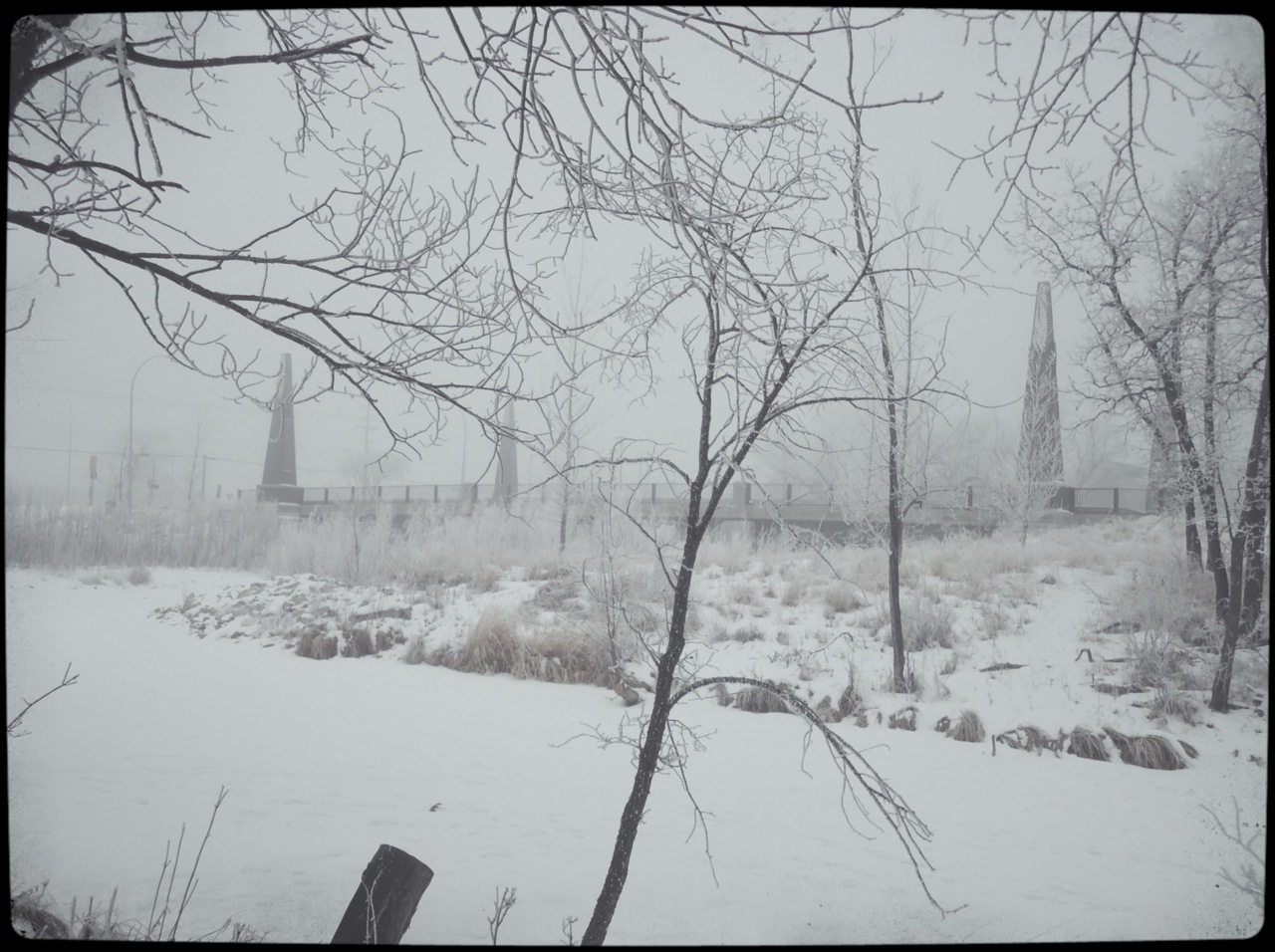
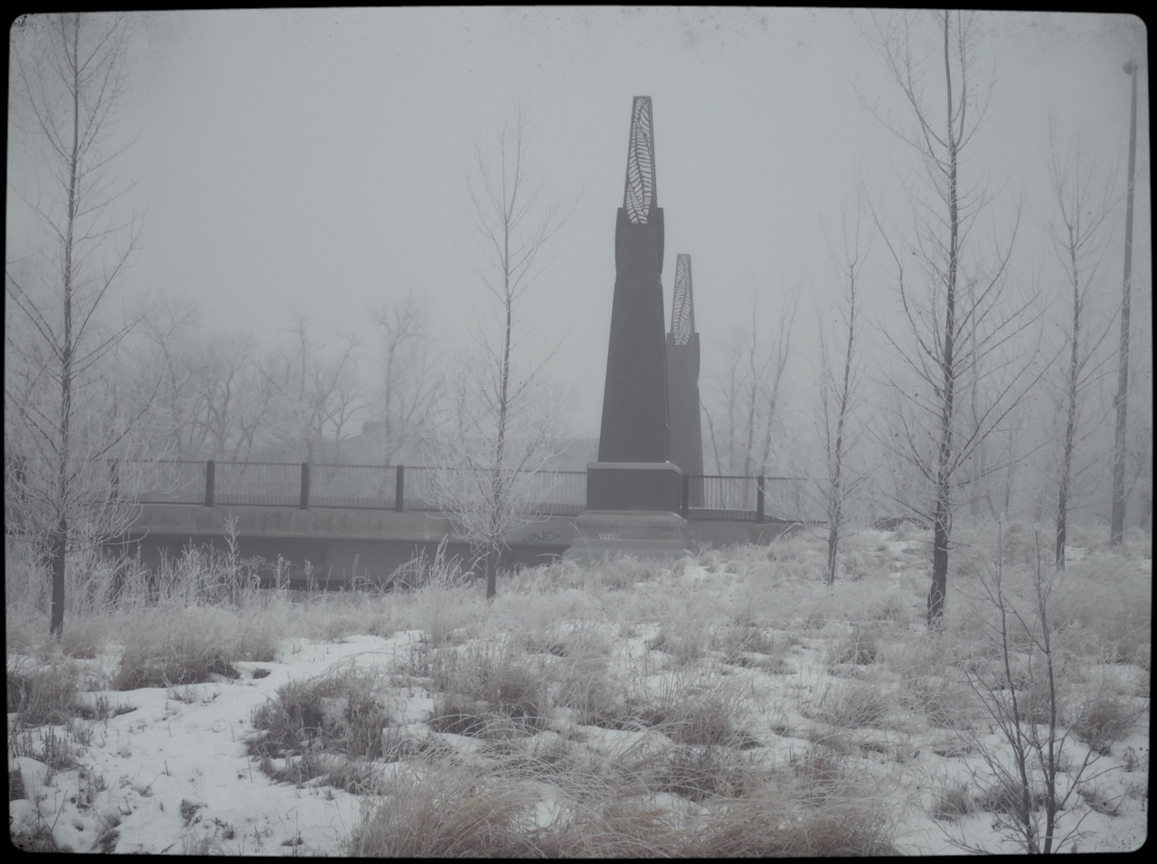
Saturday and Sunday will be cloudy days with beautifully warm temperatures for this time of the year. Daytime highs will sit right around 0°C. There will be a slight chance of non-accumulating flurries Saturday night into Sunday, otherwise no significant weather is expected. As winds lighten up, there will be the potential for fog patches through the valley in the overnight hours.

A storm system looks to move into the area on Monday morning, bringing rain or snow in the morning and snow in the afternoon. There’s still uncertainty in the track of the system and how much of the precipitation will impact the Red River Valley, so we’ll be sure to provide an update or two in the comments below through the weekend. The one thing that is certain is that this system will mark a return to more seasonal temperatures as cooler air sweeps over Southern Manitoba in it’s wake.

Mild Weather To Bring Cloudy Skies…Again

A southwest flow aloft is bringing warmer air back to the Prairie provinces, however with plenty of snow around to melt, our sunshine won’t last long…

A shot of sunshine in Winnipeg; a rather elusive feat as of late. The sun will go back into hiding this weekend. Photo credit: Instagram user @shwaahall.

We’ll see mainly sunny skies today as temperatures climb to right around the 0°C mark with winds out of the south at 30km/h. As winds subside this evening after sunset, stratus clouds and fog will begin to develop in the Red River Valley as all the moisture from melting snowpack is stuck underneath the inversion and is forced to condense as the temperatures drop. Expect an overnight low of –5°C tonight. The fog patches will stick around the RRV into Saturday morning before lifting.

Clouds will stick around for the day on Saturday as temperatures climb to about –1°C. Fog patches will likely redevelop on Saturday night as temperatures dip down to –5°C again. Sunday looks to be a mainly cloudy day as well, with a daytime high once again right near the freezing mark.

For now it looks like we may see the cloud get scoured out of the Valley as a surface trough moves through on Monday; for now, enjoy the sunshine today…we likely won’t see it for another couple days.

Pleasant Weekend Ahead…Enjoy It!

Winnipeg, along with the rest of Southern Manitoba, will enjoy a very pleasant weekend with temperatures climbing above 0°C over the next few days before a cold front sweeps through Southern Manitoba on Monday morning.

Foggy Winnipeg

A foggy morning in Winnipeg; submitted by JJ.

Winnipeg and the Red River Valley will enjoy a beautiful weekend with most cloud clearing out by this afternoon. Daytime highs will continue to climb over the next three days, with highs climbing to near 1 to 2°C today and Saturday, and getting up to nearly 4°C on Sunday.

Our warm temperatures, combined with light winds forecast for tonight means that fog will likely redevelop through many areas in the RRV; if it makes a return tonight, it will be the fourth night in a row with fog in Winnipeg and surrounding areas. Winds are forecast to increase through the night on Saturday night to 10-15km/h which should be enough to prevent fog from forming again.

Sunday Morning Prognosis

Analysis of the 72h prognosis from the GEM-Global, valid 12Z Sunday morning. Warm fronts and cold fronts are represented by red and blue lines, respectively.

The next change in the weather will be coming on Monday morning to Southern Manitoba. Through the weekend, a powerful low pressure system will track through the NWT into the Kivalliq region of Nunavut. This system will shift the large-scale pattern over the center of the continent and will allow arctic air that has been trapped unusually far north over the past couple weeks to spill southwards across the Eastern Prairies. The cold front will sweep across Manitoba on Sunday and push through Winnipeg by Monday morning.

This will bring brisk northerly winds to us for Monday and temperatures that gradually fall through the day. Currently it looks like we could see temperatures as low as -26°C on monday night into tuesday morning. Very little moisture is associated with this system, and current indications are that there will be very little or no snow with the passage of the cold front. Temperatures will be a little below normal on Tuesday and Wednesday, with daytime highs a little below -10°C.