Winnipeg will see a couple beautiful days before seasonal temperatures return to end the weekend.
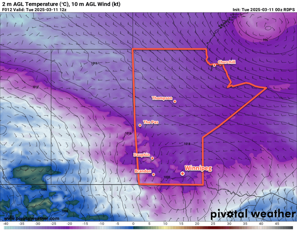
The upper ridge we talked about on Monday has arrived, and temperatures across southern Manitoba are warming up. The region will see breezy southerly winds today up into the 30 to 40 km/h range with mainly sunny skies. Temperatures across southern Manitoba will be much warmer today, with highs in the 15 to 20 °C range in the Red River Valley climbing into the low 20s over the southwest corner of the province. Highs will be cooler wherever lingering snowpack remains, but with dew point values above zero, that snow will be melting quickly.
Temperatures will dip down into the 5 to 10 °C range tonight in Winnipeg.
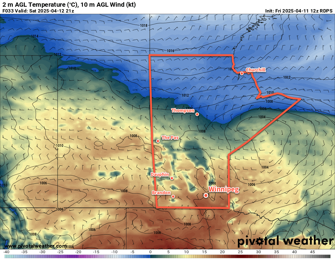
Saturday will be even more pleasant in Winnipeg with daytime highs again climbing into the 15 to 20 °C range with partly cloudy skies. Winds will be light, making for an even nicer afternoon to spend outside than today.
Temperatures will dip down back down into the 0 to +5 °C range on Saturday night with increasing cloudiness.
For Sunday, the big question has been whether Winnipeg would see no precipitation or a lot of precipitation. Weather models have flip flopped as the week progressed, but are finally beginning to hone in on an agreement.
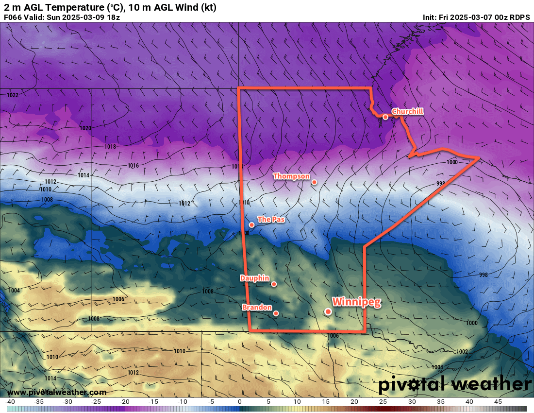
The weather set-up is a complicated one. From the west, a low pressure system will leave southern Alberta and push across southern Saskatchewan beginning Saturday night. From the south, a Colorado Low will form and begin to eject northeast across the American Plains at the same time. The interplay between these two systems is the crux of the weather forecast, and it’s looking more and more likely that most of the system will bypass the Winnipeg area. As the Colorado Low lifts towards Minnesota, the Saskatchewan system will dig south and begin to merge with the CO Low. This will drag the precipitation from Saskatchewan into the Dakotas, while the main precipitation from the CO Low pushes towards NW Ontario and the Great Lakes.
There is a chance that Winnipeg may see a few rain showers or flurries later in the day on Sunday, but at this point no accumulating precipitation looks likely. Much of southern Manitoba will likely avoid most of the precipitation as it falls in Saskatchewan, the Dakotas, and Ontario instead.
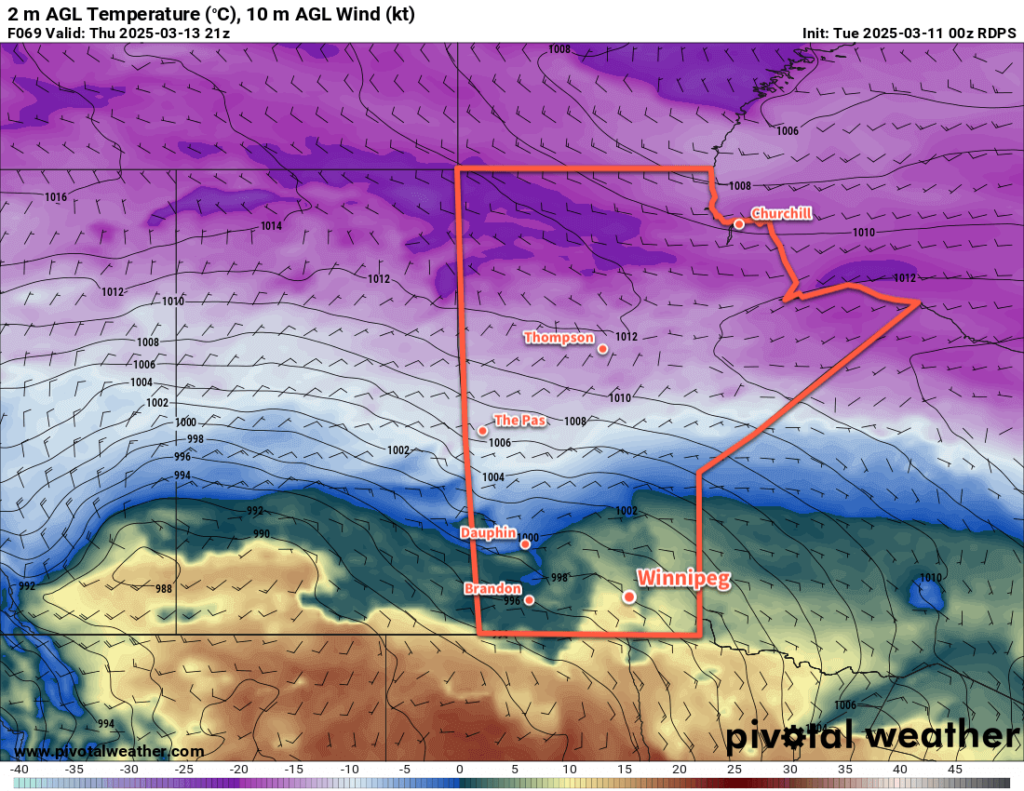
Otherwise, temperatures will be seasonably cool on Sunday with a high in the 5 to 10 °C range with northerly winds of 20 to 30 km/h. Skies will stay cloudy into Monday with a low near the freezing mark on Sunday night.
Long Range Outlook
Looking ahead, Monday will bring cloudy and cool conditions again with a slight chance of a rain showers in the afternoon, then the region will see improvement with sunshine and near-seasonal temperatures on Tuesday.
Much of the week looks to bring mixed conditions with a couple nicer days and a couple days with a chance of rain or flurries. By the weekend, it looks like another warm-up with potential highs in the mid- to upper-teens will arrive.
Today’s seasonal daytime high in Winnipeg is 9 °C while the seasonal overnight low is -2 °C.