A Return to Seasonal Temperatures

A large-scale pattern change will bring an end to the prolonged summer heat alongside cloudier conditions.

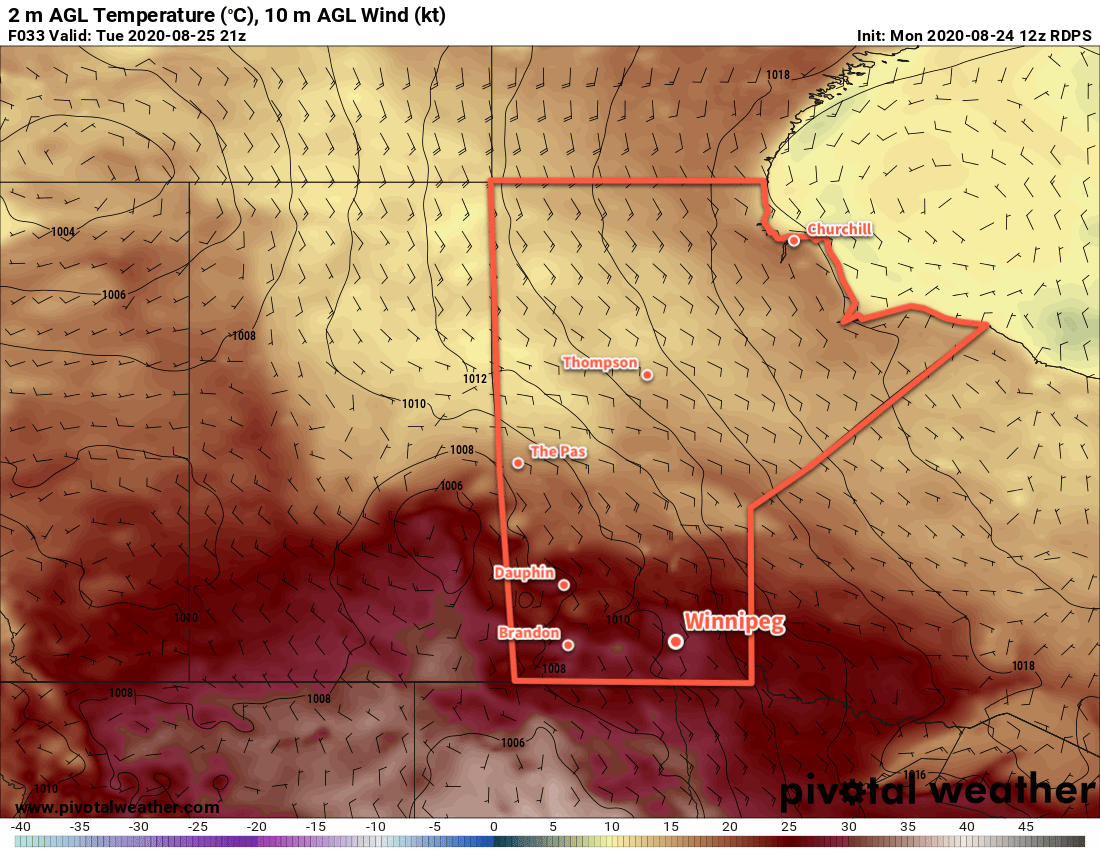
Winnipeg will see a cloudy start to the day with northwest winds around 20 km/h. After a cloudy morning, the sun should make an appearance for the afternoon, helping it warm up to a high near 25 °C. Winds will diminish tonight as an area of high pressure builds across the province. The city should see a low near 11 °C under clear skies.

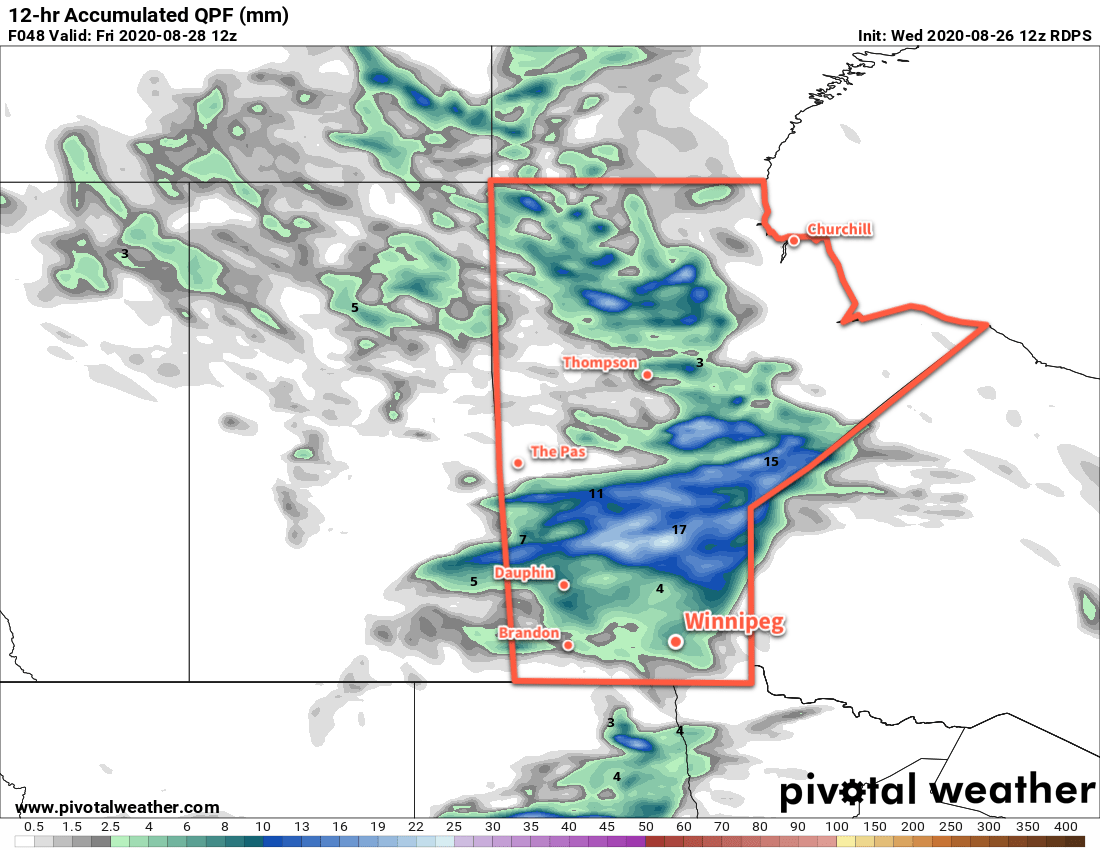
On Thursday, Winnipeg will enjoy a sunny start to the day, but an approaching low will begin to spread cloud into the region in the afternoon. Temperatures will reach a seasonal high near 24 °C. On Thursday night, the Saskatchewan low will push into Manitoba. Its arrival will keep skies mostly cloudy through the night and bring rain through WestMan and the Interlake. For Winnipeg and the RRV, it will bring a chance of showers after midnight. Temperatures will dip to a low near 15 °C.

RDPS 12hr. Precipitation Accumulation Forecast valid 12Z Friday August 28, 2020
A low pressure system crossing the province on Friday night will bring rain across the Interlake and showers to southern Manitoba.

On Friday, a few showers are likely in the morning as a cold front pushes through the region. In its wake, northwest winds will strengthen to 30 gusting 50 km/h as skies clear. It will mark a return to seasonal temperatures in Winnipeg with a high near 22°C. Temperatures will dip to a low near 11 °C on Friday night with the winds easing off.

Long Range Outlook

The weekend will bring a mixed bag to the region with near seasonal temperatures. Winnipeg will see highs in the low to mid-20s both days with overnight lows of 10–15 °C. Saturday should bring mainly sunny skies to the region, but another low moving through on Sunday may bring rain and/or thunderstorms to the region into Monday. Next week will bring variable cloudiness and highs near 20 °C.

Today’s seasonal daytime high in Winnipeg is 23 °C while the seasonal overnight low is 10 °C.

Summer Warmth Continues

Winnipeg will see summer warmth continue through the first half of the week followed by a return to more seasonal temperatures.

Winnipeg will see mainly sunny skies today courtesy a ridge that extends south through Manitoba from a high near the 60th parallel. With light winds, temperatures will climb to a high near 29 °C this afternoon. Along with the warmth, humidity levels will stay comfortable and make for a beautiful afternoon. Temperatures will dip to a low near 15 °C tonight with clear skies.

On Tuesday, temperatures will again climb to a high near 29 °C but a warm front will spread cloud into the region through the day. There will be a chance of scattered showers as the warm front passes midday, and again as a cold front sweeps southeast on Tuesday night. After the warm front pushes through, winds will increase out of the southeast to 30–40 km/h for the afternoon. The winds will ease after midnight, then pick up out of the northwest with the cold front early Wednesday morning.

RDPS 2m Temperature Forecast valid 21Z Tuesday August 25, 2020
Winnipeg will see another warm day on Tuesday before cooler, more seasonal temperatures move in for the second half of the week.

With both the warm and cold fronts, there will be a chance of a thunderstorms. The environment will not likely support a widespread severe weather threat, but isolated severe thunderstorms may be possible. If any severe thunderstorms develop, the primary threat associated with them would be large hail and damaging wind gusts. For any thunderstorms at night, the primary threat will be hail.

On Wednesday, northwest winds will persist at 20–30 km/h through the day and usher in more seasonal temperatures. Skies will be on the cloudier side through the morning, but should clear out for the afternoon. Winnipeg will see a high near 25 °C in the afternoon and a low near 13 °C on Wednesday night.

Long Range Outlook

A cooler air mass will move into the region for the second half of the week. Winnipeg will see highs cool to the low 20s and lows to the mid- to low teens. Skies will be variably cloudy through the second half of the week with another chance for showers or thunderstorms later Thursday.

Today’s seasonal daytime high in Winnipeg is 23°C while the seasonal overnight low is 10°C.

Cooler With Showers Likely

Winnipeg will see cooler conditions as unsettled weather continues over the next couple days.

Cool and cloudy conditions will continue in Winnipeg today. A low pressure system lifting northeastwards out of the Dakotas will spread cloud and showers across the Red River Valley through the day. Many areas in the Red River Valley will likely see showers through the day today with accumulations of 10 to 20 mm. Areas of more intense convection with isolated thunderstorms may develop with this system as well, producing localized rainfall accumulations in excess of 30 mm.

The cloudy, wet conditions will keep temperatures cool with a high near 20°C. It will also be a windy afternoon with northwest winds strengthening to 30–40 km/h. Winds will taper off this evening with temperatures dipping to a low near 11°C.

NAM Simulated RADAR Reflectivity valid 00Z Saturday August 8, 2020
A low pressure system lifting northeastwards will spread showers through southern Manitoba today.

Saturday will bring mixed skies to the region with west-northwest winds of 20–30 km/h. An upper trough moving through the region will bring a chance of showers to the area again through the afternoon, but the increased sunshine will help temperatures climb to a seasonal 25°C. Skies will clear out in the evening with easing winds as temperatures head to around 12°C.

Settled conditions will push into the Red River Valley for Sunday as an upper ridge builds across the Prairies. Winnipeg will see a few clouds through the day and temperatures will reach a seasonably cool high near 22°C. Winds will be breezy out of the northwest up to 30 gusting 50 km/h through the day. As a high pressure system moves into the region on Sunday night, any remaining cloud will clear out, the winds will ease, and temperatures will head to a low near 11°C once again.

Long Range Outlook

Next week is looking great for Winnipeg with more pleasant summer conditions. The city should see plenty of sunshine through the week with near-seasonal temperatures. There may be some chances for thunderstorms with disturbances rippling southeastwards down the upper ridge, but much of that activity would likely be focused more during the nighttime hours.

Today’s seasonal daytime high in Winnipeg is 25°C while the seasonal overnight low is 12°C.

Cloudier Conditions on Tuesday, Then Warming Up

Unsettled conditions moving through the region on Tuesday will bring a return of seasonal temperatures to Winnipeg.

Winnipeg will see beautiful conditions for much of the day today with sunshine and light winds. Temperatures will climb to a high near 25°C this afternoon with cloudier conditions moving in for the evening. The region will see a chance of showers through the night into Tuesday morning. Winnipeg will only see a chance of showers through this period, though, with much of the activity passing to the south. Temperatures will head to a low near 15°C tonight.

Tuesday will another day of light winds as a weak low pressure system drifts away to the southeast. After some cloud and chance of showers in the morning, skies should gradually clear in the afternoon. Temperatures will be a bit cooler with a high near 22°C. The city will see partly cloudy skies on Tuesday night with a low near 12°C.

24hr. Accumulated Precipitation Forecast valid 00Z Wednesday July 22, 2020
Showers will move across southern Manitoba on Monday night into Tuesday. Most forecasts show almost all the activity passing to the south of Winnipeg.

Wednesday will see temperatures return to seasonal values in Winnipeg with a high near 25°C. Skies will be partly cloudy with a light southerly wind developing for the afternoon. Cloudier conditions will develop overnight ahead of the next disturbance moving into the area. By early Thursday morning, the Red River Valley may see some thunderstorms rolling through.

Long Range Outlook

Warmer weather will move in for the second half of the week with highs climbing up towards 30°C. Humidity will also move back into the region; forecasts show dew point values increasing back towards 20°C. With the heat and humidity will also come the potential for more thunderstorms. The weekend looks to continue to be warm with gradually easing humidity.

Today’s seasonal daytime high in Winnipeg is 26°C while the seasonal overnight low is 13°C.