Seasonably Cool and Breezy Weather Ahead

Cool weather continues for Winnipeg, but temperatures will return closer to seasonal values soon.

An Arctic ridge over the province today will bring another day of cool conditions too Winnipeg. Starting with cloudy skies, some sunny breaks will develop as the day progresses with clearing likely through the afternoon. Temperatures will reach only around 8°C with light northerly winds. Skies will should be mostly clear tonight with light winds and a low near -2°C.

Temperatures will rebound on Tuesday as the ridge pushes off to the east. Winnipeg will reach a high near 14°C with southerly winds up to 30 gusting 50 km/h. Winnipeg may see a few afternoon clouds, but it should be a fairly sunny day. An approaching low pressure system will spread cloud into the region Tuesday night. Southerly winds near 20 km/h will help keep temperatures a tad milder with a low near +4°C in the city.

A few showers are possible in Winnipeg on Wednesday morning.

Winnipeg will see a chance of showers on Wednesday, particularly in the morning, as a cold front swings through. Winds will pick up out of the northwest to around 30 gusting 50 km/h with skies becoming mixed for the afternoon. Temperatures will likely be a tad cooler than Tuesday; Winnipeg should see a high near 13°C. Skies will clear out on Wednesday night as temperatures head to a low near +1°C.

Long Range Outlook

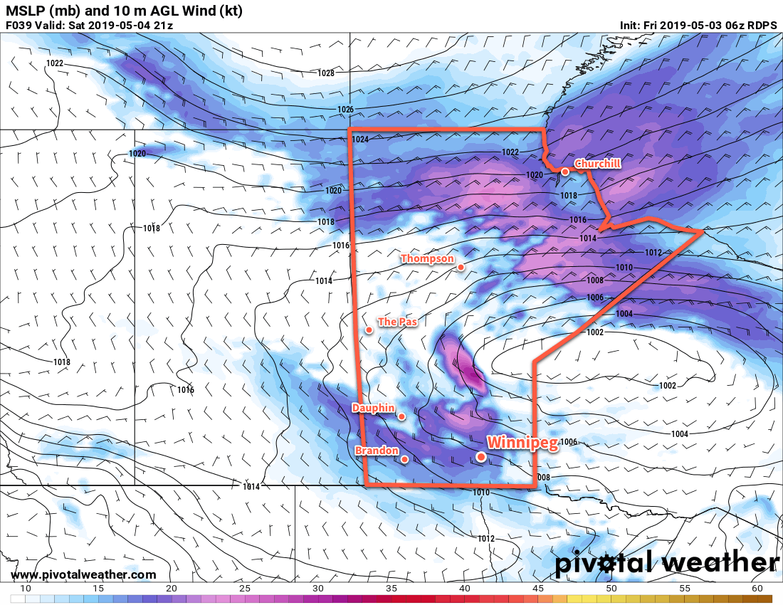
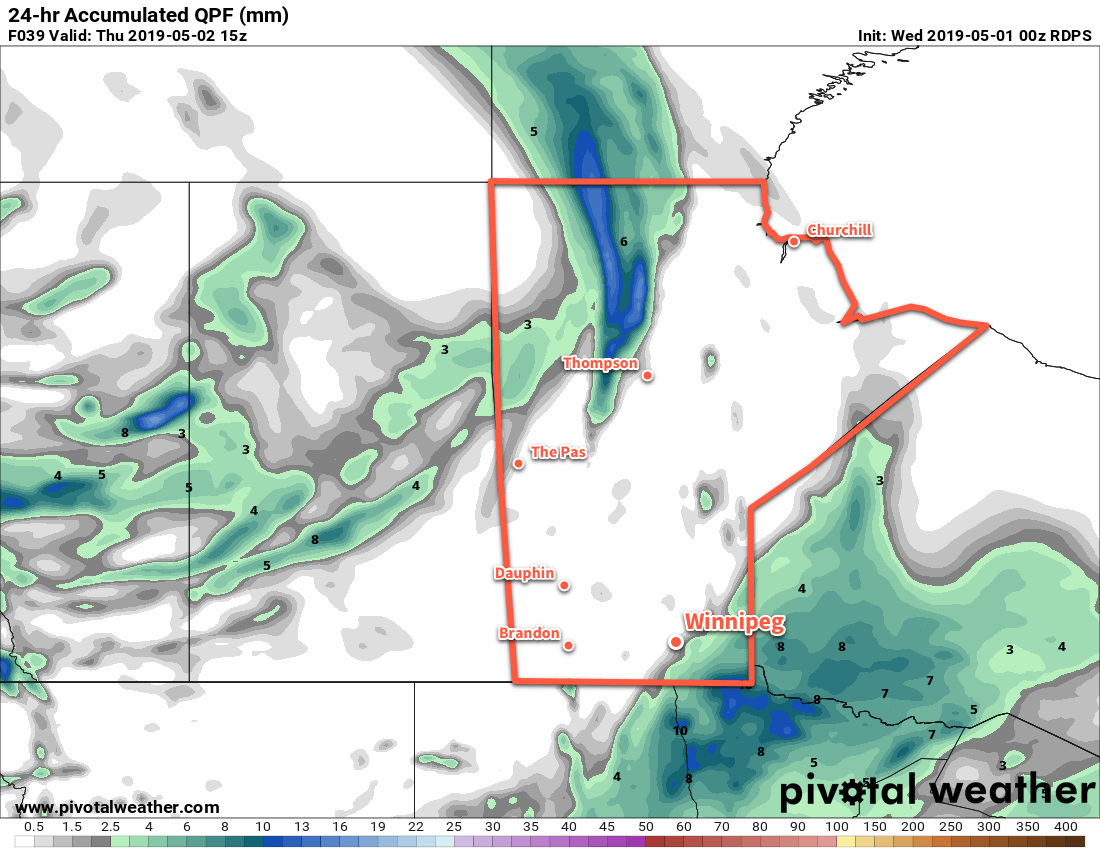
Temperatures will return to seasonal values this weekend, but more cloud will move into the region before that happens. Mixed skies on Thursday will give way to cloudier conditions with a chance of rain Friday night into Saturday. Once that’s past, though, the region should see some sunshine and highs in the upper teens for the rest of the weekend!

Today’s seasonal daytime high in Winnipeg is 17°C while the seasonal overnight low is +3°C.

Unsettled Friday Ushers in Cooler Weekend

A series of disturbances moving through the region today will bring showers to Winnipeg and send temperatures back below seasonal values for the weekend.

Today will start off with cloudy skies and a few showers moving through the city. These showers are the product of a low-level jet1 moving eastwards through the region. It will move off by mid-morning, but a trough of low pressure moving through later in the morning might trigger a few more showers as it passes by. The city should see mixed skies for the afternoon as temperatures climb to a high near 14°C. It will be a bit breezy today with south 30 gusting 50 km/h winds turning southwesterly and easing a bit this afternoon. Another disturbance will roll through the region a bit later in the evening, dragging a cold front eastwards with it. This will bring another chance of showers to the city this evening and overnight. Temperatures will head to a low near +3°C.

On Saturday, Winnipeg will see windy conditions and cool temperatures. Behind the cold front that will move through overnight, winds will strengthen out of the west into the 30 to 40 km/h range with gusts up to 60 km/h. These winds will gradually turn northwest as they usher in a cooler air mass. Temperatures will be back to below-seasonal values as the city heads to a high of just 11°C. Skies will clear out for Saturday night with a low near -2°C.

Moderate westerly winds will develop over southern Manitoba on Saturday.

Sunday will bring partly cloudy to mixed skies with northerly up to 20 km/h as a ridge of high pressure moves through the region. Mixed skies will continue Sunday night as temperatures head to a low near -1°C.

Long Range Outlook

Next week will start with a chance for some rain on Monday night, but afterwards it looks like the city will see generally mixed skies and a gradual return to seasonal temperatures.

Today’s seasonal daytime high in Winnipeg is 17°C while the seasonal overnight low is +3°C.

  1. A low-level jet (LLJ) is an area of fast-moving air in the lower atmosphere. They generate lift which can initiate and support precipitation.

Continuing Cool And Cloudy

Seasonably cool temperatures will remain in place over Winnipeg for the rest the week. The city will see plenty of cloud over the next few days along with some chances for rain.

Cloudy skies remain over the Red River Valley today, spread into the region ahead of a disturbance moving into the Dakotas. This system will spread rain northeastwards through the day into the southeastern corner of the province. Winnipeg will find itself just northwest of this area of rain, leaving the city with just a chance of some rain through the afternoon into the evening. The area of rain will likely nudge northwestwards a bit overnight, so the chance for some rain will continue tonight for Winnipeg. Light easterly winds will reinforce the cool temperatures in the region. Winnipeg will see a high near 9°C this afternoon and drop to around +4°C overnight.

A broad area of rain will clip across southeastern Manitoba on Wednesday night.

On Thursday, the city will see a lingering chance for some showers first thing in the morning then the cloudy skies will break up through the afternoon. That afternoon sunshine should help temperatures warm a bit, reaching a high near 12°C with light winds. The city will see partly cloudy skies on Thursday night with a low near +3°C.

On Friday, a broad upper low will approach the region from the northwest. As it moves into the region, the increasing instability will result in the development of mixed skies and showers. There may even be a chance for some isolated thunderstorms, but no organized threat of any severe weather exists. Temperatures will climb to a near-seasonal 14°C with breezy southerly winds near 30 gusting 50 km/h. The chance for showers will continue through the night as a cold front slumps into the region. Winds will ease as temperatures head to a low near 5°C.

Long Range Outlook

Unfortunately for those looking for the arrival of summer heat, no significant changes are on the horizon. Seasonably cool temperatures will continue through the weekend and long-range forecasts show just a gradual return to seasonal temperatures. General instability will remain in place through the weekend, sustaining a continued chance of showers right through Sunday.

Today’s seasonal daytime high in Winnipeg is 16°C while the seasonal overnight low is +2°C.

Cloudy, Seasonably Cool Start To The Week

Winnipeg’s cool weather will continue with a bit of snow to kick off the work week. Cool conditions with more cloud than sun will continue through much of the week.

Winnipeg will start the work week with a bit of snow. While unwelcome, it’s a far cry from the blizzard that pounded portions of southern Alberta and Saskatchewan yesterday. The chance for snow will taper off by late morning as the low pressure system responsible for it moves from the Dakotas eastwards into Minnesota. Behind it, the city will continue to see cloudy skies. Breezy winds out of the northeast near 30 km/h this morning will gradually ease this afternoon. These winds will be continually tapping into cooler temperatures through the day, keeping Winnipeg’s high near a cool 7°C. The city will see light easterly winds and a low near 0°C tonight as the cloud cover breaks up a bit.

Tuesday will bring mixed skies to Winnipeg as a ridge of high pressure moves though. The city should see some sunshine in the morning, but some convective cloud and incoming system cloud from the next disturbance will result in cloudy skies redeveloping for the afternoon. Winds will stay light out of the east with temperatures climbing to another below-seasonal high near 9°C. The cloudy skies will stay for Tuesday night with a low near +2°C.

On Wednesday, cloudy skies will continue with light winds. A chance of showers will develop through the afternoon and continue overnight. Temperatures will climb to a high near 11°C then fall to an overnight low near +2 or +3°C.

Long Range Outlook

The rest of the week will bring variable cloudiness and occasional chances for showers. Temperatures will return to near-seasonal values, but will likely continue to trend on the cooler side.

Today’s seasonal daytime high in Winnipeg is 15°C while the seasonal overnight low is +2°C.