Another Typhoon Churns in the Pacific
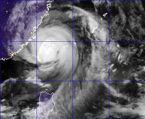
Yet another typhoon, Saola, has made landfall in the Western Pacific this past week, this time hitting Taiwan hard. The “disturbed area” talked about in last week’s EIWN is the culprit for producing typhoon Saola, which made landfall Wednesday, August 1st (Thursday August 2nd Taiwan time), bore winds of around 155km/h. The capital city of Taipei was completely shut down because of this typhoon: financial markets were closed, all businesses were closed, and residents urged to stay inside.

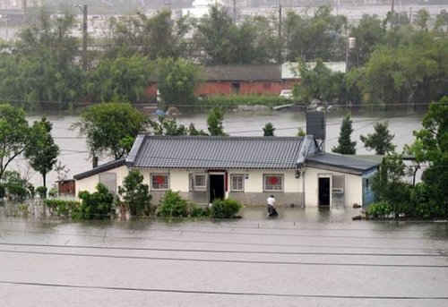
Saola swamped streets and downed large trees as it passed over Taiwan, not to mention the enormous amounts of rain it dumped. Since Tuesday, some areas of Taiwan have received more than 1,000mm of rainfall – that’s about double our yearly amounts here in Winnipeg! The death toll from the extreme flooding Saola caused has reached 27, mostly Taiwan and Philippine residents. The flood waters are still receding and in turn more casualties may be discovered. Taiwan has deployed 48,000 soldiers to the area to help with the cleanup of Taipei and surrounding regions, and rescue teams are also currently hard at work. The typhoon has disrupted flights going in and out of Taiwan and caused chaos in the railway industry.

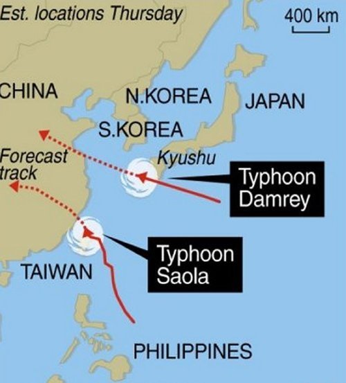
Unfortunately, typhoons don’t seem to be letting up in this already battered region of the Pacific where yet another typhoon has spawned east of China and will make landfall somewhere north of Shanghai. Saola will continue west and is predicted to make a second landfall west of Taiwan on China’s south-east coast on Friday (Winnipeg time).

In other hurricane-related news (Atlantic basin), a tropical storm, Ernesto, has spawned in the Atlantic eyeing to the Carribean where it will dump massive amounts of rain on the Lesser Antillies. Early Thursday morning a 101km/h gust was recorded at St Lucia where a tropical storm warning has been issued for the Lesser Antillies and residents have bunkered down. Ernesto is expected to make a north northwesterly track and most models show it ending up in the southern Gulf of Mexico by early next week. However, that is still a ways away and hurricanes can sometimes make unpredictable turns, in consequence, a constant eye needs to be kept on the most current satellite and model data.
