A Couple Nice Days Before Fall-Like Conditions Mid-Week

A persistent northwesterly flow aloft will gradually spread below-seasonal temperatures across Manitoba through the first half of the work week.

Southern Manitoba will see a shift into markedly cooler temperatures mid-week as a persistent northwesterly flow draws cooler air from the Arctic southwards. To start the work week, Winnipeg will see plenty of sunshine today with just a few clouds this afternoon. Winds will pick up out of the west to around 20 km/h midday as temperatures climb to a high near 24°C. Winds will ease this evening with temperatures falling to a low near 13°C under clear skies.

Tuesday will bring a bit more cloud to the region as a weak disturbance pushes towards the province from the west. Skies will become mixed in the afternoon with winds strengthening out of the west-northwest to 20 to 30 km/h. Winnipeg will see a seasonal high near 25°C. There’s slight chance of a rain shower in the evening as the disturbance moves through the region. Skies will become cloudy Tuesday night as temperatures head to a low near 12°C.

Significantly below-seasonal temperatures will be in place over southern Manitoba on Wednesday

Decidedly fall-like weather will move into the region on Wednesday. With northwesterly winds increasing to near 30 km/h, Winnipeg will climb to a well below-seasonal high near 18°C. Skies will remain mostly cloudy with a chance of showers through much of the day. The winds will taper off in the evening, but skies will remain fairly cloudy for much of the night. Winnipeg will see a low near 10°C on Wednesday night.

Long Range Outlook

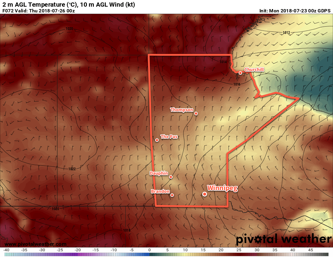
The remainder of the week will bring a return to near-seasonal temperatures with daytime highs rebounding into the mid-twenties. The Red River Valley will see plenty of sunshine with generally dry conditions persisting into the weekend.

Winnipeg’s seasonal daytime high is currently 26°C while the seasonal overnight low is 13°C.


Pleasant Monday Leads to Unsettled Conditions

Winnipeg will see warm weather and sunny skies on Monday before cloud begins building into the region and unsettled weather returns for Tuesday and Wednesday.

Under the influence of a weak ridge of high pressure, Winnipeg will see mainly sunny skies today and a seasonal high near 26°C. A warm front lifting through North Dakota will spread a few clouds into southern Manitoba later this afternoon. The wind will be a bit breezy out of the west near 30 km/h. Later in the day there’s a small risk for an isolated thunderstorm or two, primarily south of the Trans-Canada Highway corridor and through the evening hours. Skies in Winnipeg should remain fairly clear overnight as temperatures dips to a low near 15°C with winds becoming light.

Elevated convection spreading into Manitoba from North Dakota will spread cloud cover into the Red River Valley early Tuesday morning. There will be some shower and thunderstorm activity moving through the province as well, but at this point it looks quite likely that Winnipeg remains dry with the activity remaining to the west and south. After the morning impulse moves through, skies will become mixed and Winnipeg will climb to a high near 26°C again.

By Tuesday afternoon, a warm front is forecast to run from a low pressure centre in southern North Dakota northeastwards across southeastern Manitoba, arcing eastwards into Lake of the Woods. By late afternoon into the evening, there’s a risk of thunderstorms developing along this frontal boundary. With moderate amounts of energy available to the thunderstorms, very good shear, and an organized trigger, there will also be a risk of severe thunderstorms. The primary threat posed by any severe thunderstorms would be large hail and torrential downpours.

The thunderstorm threat should move out of the region later Tuesday evening, then Winnipeg will head to a low near 16°C under mostly cloudy skies.

Plenty of unsettled weather will be around, but will Winnipeg manage to escape it? Multiple disturbances passing to the southeast and west will graze the city.

Wednesday will bring yet more unsettled conditions to the region as a low pressure system moves out of North Dakota into the Interlake before heading eastwards into Ontario. This system will bring the chance of showers or thunderstorms in the morning as it lifts north and then again in the afternoon when the cold front pushes through. There will likely be a slight risk of a severe thunderstorm as well with primary threats of large hail and damaging winds. Winnipeg should see a high near 26°C again.

The cold front will push through in the afternoon, followed by breezy westerly winds near 30 gusting 50 km/h diminishing to 10 to 20 km/h overnight. Skies will clear out with temperatures dropping to a low near 14°C on Wednesday night.

Long Range Outlook

Things look to settle down for the second half of the week into the weekend as an upper-level ridge builds into the region. Heat and humidity will begin to build into the region late in the week, pushing temperatures over the 30°C mark and humidex values close to 40. Forecasts show the seasonably warm weather lasting into next week.

Winnipeg’s seasonal daytime high is currently 26°C while the seasonal overnight low is 13°C.


More Unsettled Weather On The Way

Winnipeg will continue to see unsettled conditions as a relatively humid airmass builds into the region.

Cloudy skies move into Winnipeg this morning as an upper-level disturbance drifts northwards in the southerly flow that has developed over the region. As it pushes into the Red River Valley, there will be a chance of showers alongside noticeably increasing humidity. The potential for rain will come in two waves: the first will be early this morning, then a second chance will develop this evening. There is a slight chance that there may be some thunderstorms in the second batch, but no significant threat exists for Winnipeg. Temperatures will be cooler than seen lately with a high near 24°C. Winds will be a bit breezy out of the southeast at 20 to 30 km/h.

Skies will become mixed overnight with a low near 18°C and winds continuing out of the south at near 20 km/h.

Tuesday will bring yet another chance for showers or thunderstorms, but not before the city experiences a hot summery day. Partly cloudy skies in the morning will become mixed in the afternoon as daytime heating begins producing more cloud cover. Temperatures will climb to a warm 29 or 30°C, but with the humidity it will feel closer to the mid-30s. Winds will once again be out of the south at 20 to 30 km/h. In the evening, a cold front will sweep through the Red River Valley.

RDPS 3hr QPF Forecast valid 00Z Wednesday June 27, 2018
A cold front sweeping eastwards across Manitoba will bring the chance of showers and thunderstorms to Winnipeg on Tuesday evening

This cold front will bring the threat of severe weather to southwestern Manitoba, but at this point it’s unclear as to exactly how the evolution of any thunderstorms will progress as they move into the valley and the evening. Winnipeg will likely see a good chance of showers or thunderstorms, and there may be a small chance for severe thunderstorm activity continuing along the cold front into the evening.

The cold front will push its way through the Red River Valley overnight as temperatures drop to a low near 16°C. Once the front passes, drier will begin moving into the region and skies will start to clear out.

Wednesday will be a beautiful summer day in Winnipeg: a high near 26°C, comfortable humidity, a bit of a northwesterly breeze, and plenty of sunshine. Skies look clear on Wednesday night as temperatures dip to a low near 16°C.

Long Range Outlook

The unsettled weather isn’t gone for long, though. Another low pressure system moving into the Dakotas will bring warmer and seasonably humid conditions back to Winnipeg on Thursday.

GDPS 12hr. QPF Forecast valid 12Z Friday June 29, 2018
More showers and thunderstorms are possible Thursday night as another low pressure system moves into the region

On Thursday night, early forecasts are showing a good potential for thunderstorm activity across much of southern Manitoba with the low-level jet associated with the developing low pressure system supporting an area of nocturnal convection. Friday rounds out the work week with mostly cloudy skies and more chances for showers as another disturbance rolls through the region.

Winnipeg’s seasonal daytime high is currently 25°C while the seasonal overnight low is 12°C.

Generally Unsettled Weather Ahead

Winnipeg and area will continue to see a variety of generally unsettled weather ahead thanks to a persistent as a south-to-southwesterly flow aloft continues throughout the remainder of the week.

Today will be the nicest day of the next few as a few remaining showers clear out from last night’s activity early this morning, leaving the region with sunny skies for the rest of the day. Winds will be out of the southwest at around 30 gusting 50 km/h all day with temperatures climbing to a high near 20°C. Tonight, temperatures will dip to a low near 11°C with winds out of the south at around 20 km/h.

Thursday will see the winds taper off through the morning as skies cloud over. A chance of showers will persist much of the day1 and then taper off in the evening. Temperatures will climb to a high near 18°C. Skies will clear out overnight with temperatures dipping to a low near 10°C with light winds shifting to the north.

Winnipeg may be clipped by a band of showers that moves northeast through the day on Thursday

Friday will once again see cloud move in early in the day with winds picking up out of the north to northeast to around 15-25 km/h. There will be another chance for light showers throughout the day, but it looks like they will be light and scattered. Temperatures will climb to a high near 18°C. Skies will remain mostly cloudy on Friday night with temperatures dipping to a low near 9°C.

Long Range

The long range forecast continues to provide more of the same, with guidance suggesting cloudy skies throughout the weekend and into the start of next week. Another system will pass through on Saturday night, bringing the potential for another round of organized rainfall, followed by another system Sunday night into Monday. Temperatures will be below normal through this entire period with winds out of the north to northeast.

So not the nicest fall weather ahead, but potentially some more needed rain coming to the region.

Winnipeg’s seasonal daytime high is currently 17°C while the seasonal overnight low is 5°C.

  1. Being honest, it’s about a 50% chance, but people don’t really like hearing that in their weather forecast.