More snow is on the way for Southern Manitoba this weekend as a low pressure system moves across the Dakotas.

It will be a cool day across the Red River Valley today as any left over cloud moves out, allowing our temperatures to slowly drop to around -16°C by this afternoon. Temperatures will dip down to around -21°C tonight before some cloud associated with the approaching low pressure system moves in.
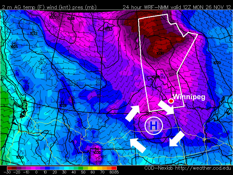
Snow will spread into southwest Manitoba tonight and reach the Red River Valley tomorrow morning. It will last through much of the day before tapering off in the evening. One of the main challenges with this system is it’s complex nature: the feature pushing across Southern Manitoba is known as an inverted trough. These complicated features are notorious for being difficult to forecast the snowfall intensities they’ll produce.
In general, it looks like the heaviest snowfalls will be along and south of the Trans-Canada Highway, including Winnipeg, with an average of 5-10cm. There are some hints within the model outputs that some areas may see as much as 10-15cm, however it’s a little hard to say that with confidence since there is absolutely no developed reflection of how this system is taking shape right now. The area that is most likely to potentially exceed 10cm of snowfall is in extreme SE Saskatchewan into SW Manitoba, west of the RRV and south of the TCH. At this point, it looks likely that Winnipeg will see 5-8cm of snow tomorrow.
Skies will clear across Southern Manitoba tomorrow night, bringing another cold night to the Red River Valley with overnight lows dipping to -20°C. Sunday will be mainly sunny with a high of about -15°C.