Winnipeg will see several days of cloudy, unsettled conditions as an upper low moves through the region.
An upper low moving across the Prairies will drive the weather in the Red River Valley over the coming days. It will support a complex of low pressure systems that amalgamate into a larger single low that stalls out over NW Ontario. As this evolution of the system occurs, it will bring several waves of precipitation to the Winnipeg area.
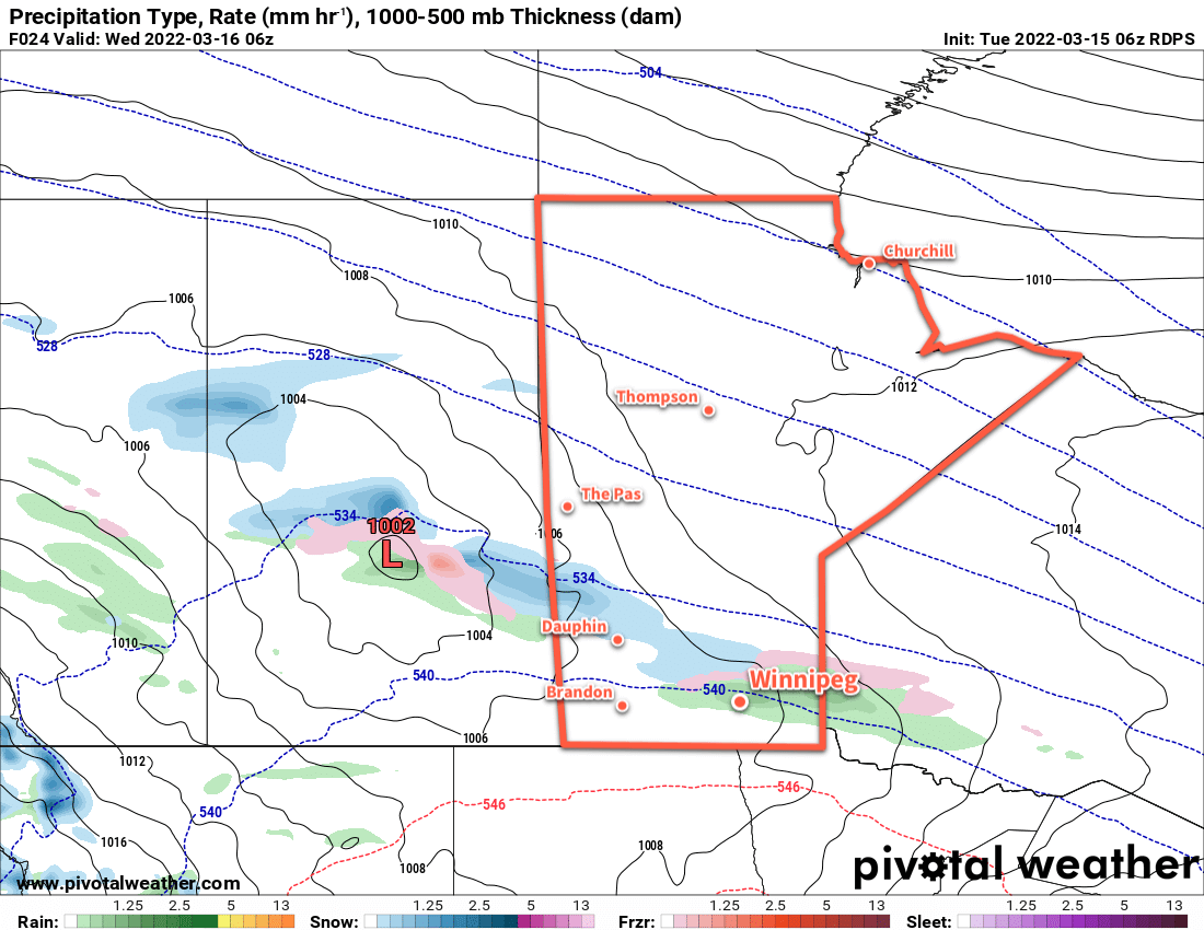
The first wave of precipitation will move into the region today. Rain will spread northwards out of the Dakotas midday into the Red River Valley and last through the afternoon.
How far north the rain pushes will be a bit of question. It looks likely that much of it will remain just south of Winnipeg, but a brief period of rain is certainly possible through the early afternoon. Some snow will likely mix in with the rain in the evening with periods of a wintery mix lasting through the night. The precipitation will ease on Wednesday morning.
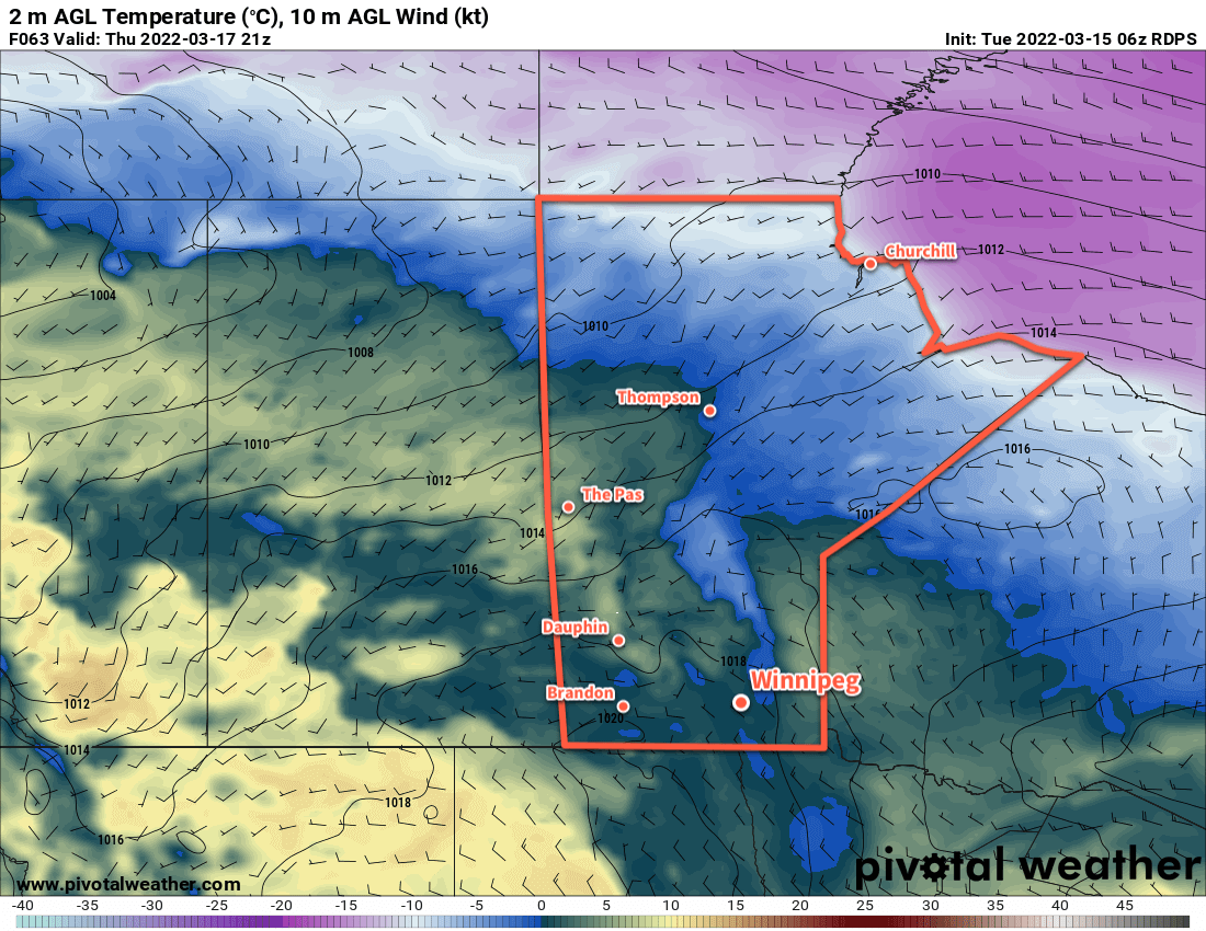
More rain will push in from the east in the afternoon. This wave of precipitation will affect the entire Red River Valley this time, Winnipeg included. The rain should become mixed with snow late in the day, then change over completely to snow overnight. A few flurries will taper off on Thursday morning, but skies will likely stay cloudy through much of the day.
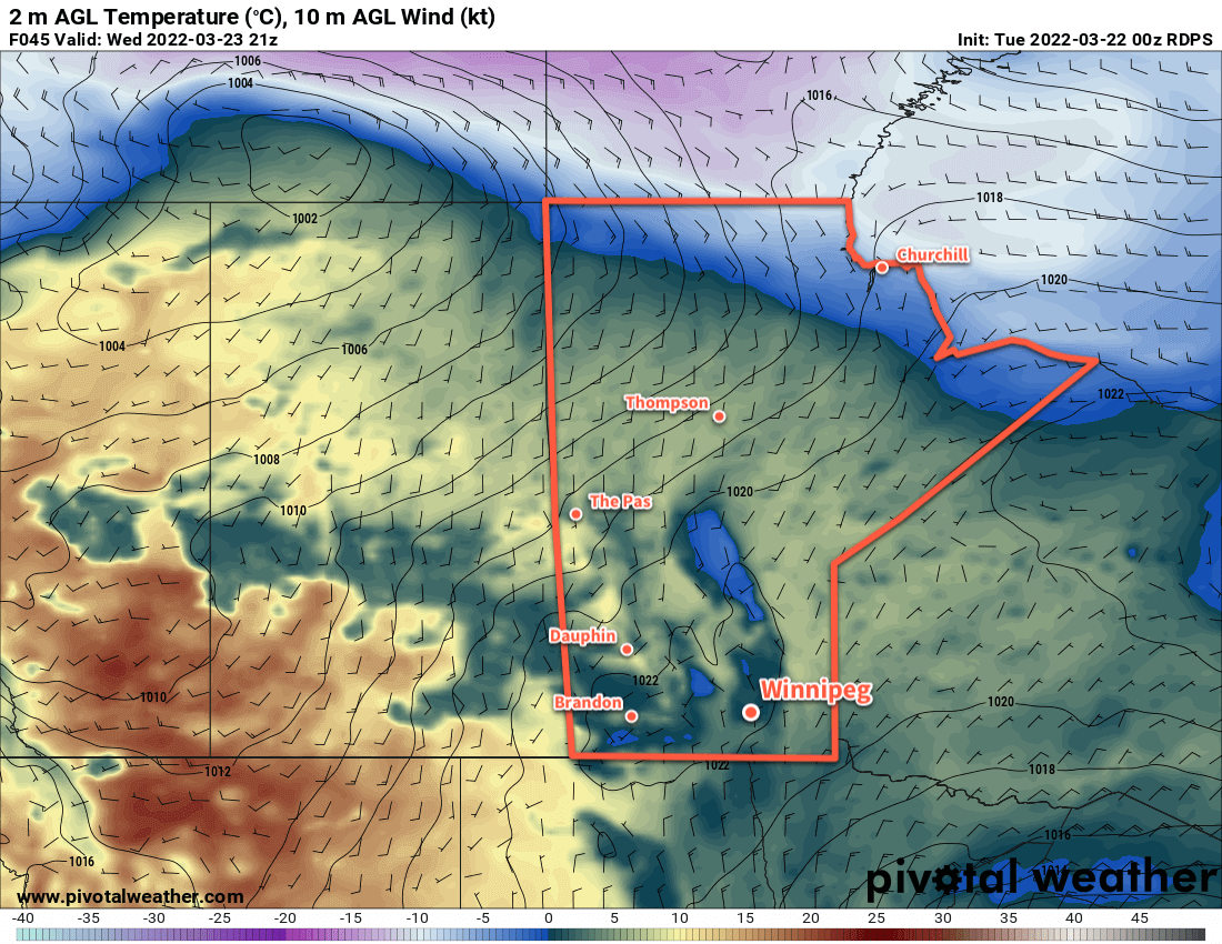
Daytime highs over the next few days will hover around 3 or 4 °C with temperatures back to around freezing overnight. The wind will be quite noticeable over the coming days, though, making for chilly conditions. Moderate easterly winds will shift north overnight, then pick up to strong northwesterlies later Wednesday. These strong northwest winds of 40–50 km/h will persist through Thursday. The wind will finally begin to ease on Thursday night into Friday.
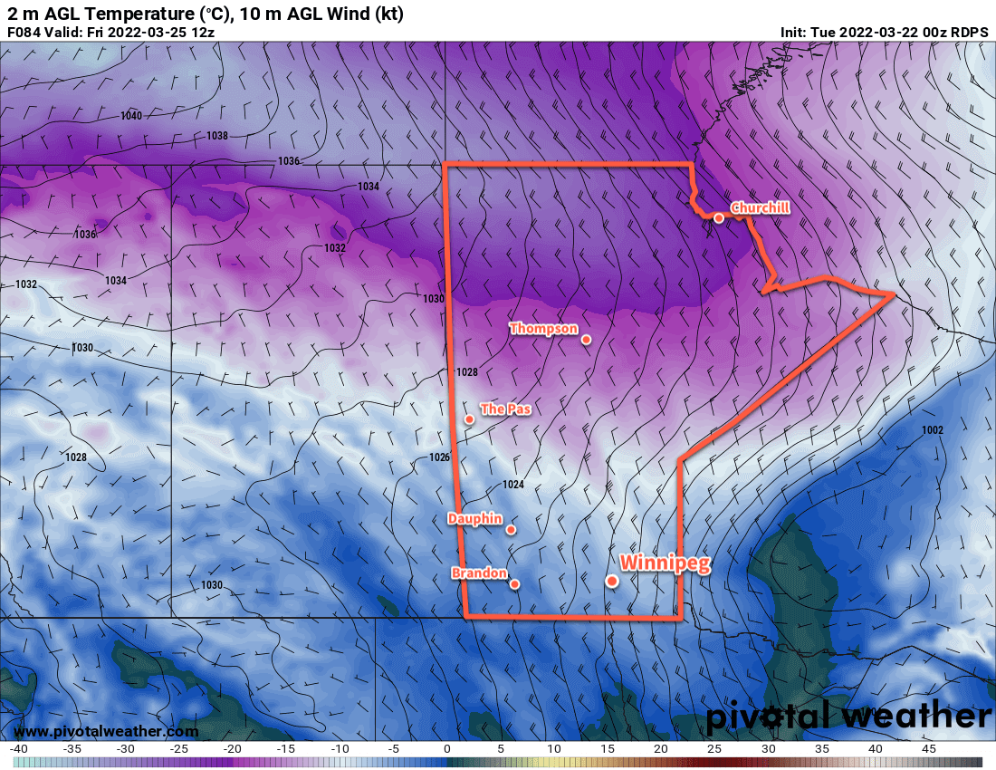
The week will end strong with a high in the 5–10 °C range and more sunshine. Temperatures will dip below freezing both Thursday night and Friday night.
Long Range Outlook
Temperatures will climb back above seasonal values on Saturday with a high near 10 °C. More cloud will move into the area ahead of another major low pressure system crossing the Prairies.
This system may bring some more precipitation to the region Sunday into next week, but there’s quite a bit of uncertainty at this point. Either way, a few days of seasonably warm weather and mixed to cloudier skies will start off the new week.
Today’s seasonal daytime high in Winnipeg is 7 °C while the seasonal overnight low is -5 °C.