Spring Storm Brings Windy Temperature Rollercoaster to Southern Manitoba

A potent spring storm moving through the region will send temperatures soaring on Monday. As quickly as they climb, though, a potent cold front will bring strong winds that send them crashing down.

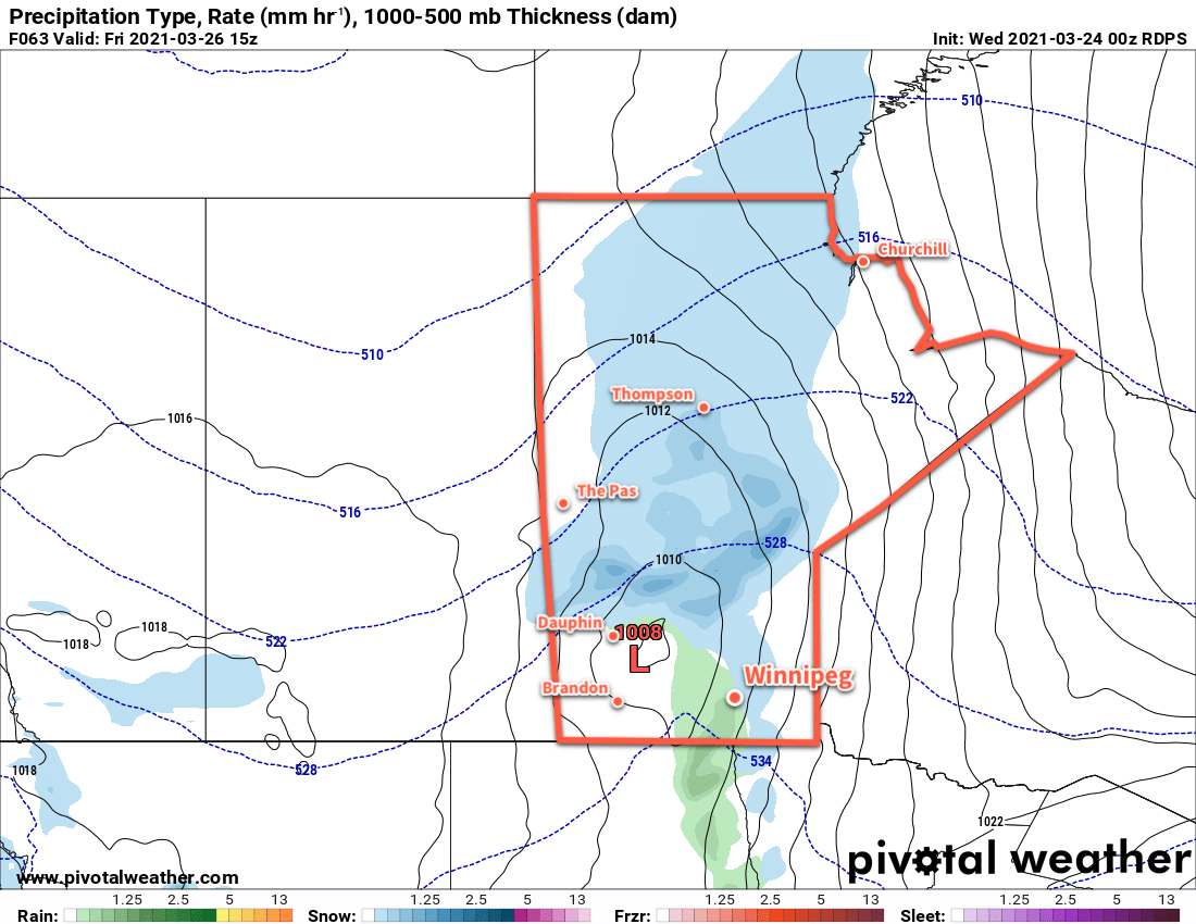
A strong spring storm will move across southern Manitoba today. This storm will bring heavy snow and blowing snow to the Parkland, Interlake and central Manitoba. Over southern Manitoba, things will stay a bit drier. Most areas along and south of the Trans-Canada Highway will stay dry through the day today. For these areas, including Winnipeg, the story will be the wild swings in temperature and the strong winds that will move into the region.

For Winnipeg, today will start off with moderate southerly winds near 30 gusting 50 km/h. With mixed skies through the day, the temperature will climb to a beautiful 17 °C with winds easing a bit in the afternoon. Conditions will quickly change later in the afternoon, though, as the first of a pair of cold fronts pushes through the region. Winds will strengthen out of the west-southwest into the 40–50 km/h range late in the day with increasing cloud. Temperatures will quickly fall through the evening, reaching freezing by 10 or 11 PM.

RDSP 10m Wind Forecast valid 09Z Tuesday March 30, 2021
Strong to severe northwest winds will move through southern Manitoba on Monday night.

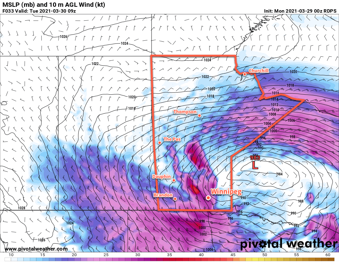
A second cold front will sweep through overnight, shifting the winds to the northwest and strengthening even further into the 50–60 km/h range. This second front will bring some light snow across southern Manitoba with it. Temperatures will continue to fall to a low near -9 °C by Tuesday morning, a whopping 26 °C drop from Monday’s forecast high.

Moderate northwest winds will continue across the Red River Valley on Tuesday near 40 gusting 60 km/h. Much of the day will be cloudy with light snow gradually tapering off. It will be a seasonably cold day with a high in Winnipeg near -6 °C. Skies will clear overnight as a ridge pushes into the region with winds gradually easing and a cold low near -14 °C.

Wednesday will be a cool and sunny day as a ridge moves across the region. Winnipeg will see a high near the freezing mark with light winds. Warmer air will begin moving in on Wednesday night with a low near -5 °C.

Long Range Outlook

Upper ridging will build across the Prairies for the latter half of the week and the weekend. This will bring generally sunny conditions and mild temperatures. Winnipeg will likely see daytime highs around the mid-teens beginning Thursday and persisting into next week. A large upper trough moving onshore to start next week may bring cloudier conditions to the region with a chance of rain.

Today’s seasonal daytime high in Winnipeg is 4 °C while the seasonal overnight low is -7 °C.

Mid-Week Sunshine Gives Way to Unsettled Friday

Near-seasonal temperatures will continue in Winnipeg this week with mid-week sun turning cloudier and unsettled for Friday.

Winnipeg will see clearing skies today as a low pressure system pushes eastwards through Ontario. Those breezy northwest winds that moved in yesterday evening will begin to gradually ease this afternoon. By evening, skies should be clear as the wind tapers off. A ridge moving across the province tonight will keep things calm overnight with a low near -5 °C.

On Thursday, a sunny start will see clouds gradually build in with a southeast wind picking up into the 20–30 km/h range. Winnipeg should see a high near 8 °C. Skies will become overcast with southeast winds continuing near 30 km/h through the night. A low pressure system will push into the province by Friday morning, spreading a wintry mix of precipitation into the region.

RDPS Precipitation Type and Rate Forecast valid 15Z Friday March 26, 2021
A low pressure system will spread a mix of snow and rain across southern Manitoba on Friday.

The weather in Winnipeg will turn on Friday as the next low moves through the province. The city will see mainly cloudy skies with a good chance of morning flurries changing to some rain showers. The winds will continue out of the south near 30 km/h for much of the day. This low will draw some warmer air back into the region, bringing Winnipeg’s high back to around 7 °C.

The wind will ease on Friday night with mixed skies and a low near -3 °C.

Long Range Outlook

Sunshine will return to the region this weekend with near-seasonal temperatures. Some unsettled weather is possible to start the work week. Forecasts show a broad upper ridge developing mid-week, likely bringing a prolonged stretch of seasonably mild weather to the region with daytime highs in the mid-teens likely.

Today’s seasonal daytime high in Winnipeg is 2 °C while the seasonal overnight low is -9 °C.

A Cooler Back Half of the Week

Winnipeg will see a cloudier, cooler back half of the work week in the wake of a low pressure system that crossed the province yesterday.

Winnipeg will see light northerly winds today as cooler temperatures push into the region with a weak ridge. Skies will vary from cloudy to mixed as temperatures climb to a high near +1 °C. Winds will ease from 20–30 km/h early this morning to light early in the evening. Temperatures will dip to a low near -6 °C tonight with mixed skies.

On Thursday, another weak low moving through will drag a cold front southeastwards across the province, bringing more cloud and a chance of flurries to the city. Temperatures will return to seasonal values with a high near -3 °C. Winds will be more of a nuisance, picking up out of the northwest to 30–40 km/h midday. An area of high pressure will move into the province on Thursday night, bringing easing winds and clearing skies. Winnipeg should see a low near -13 °C on Thursday night.

RDPS 2m Temperature Forecast valid 21Z Friday March 12, 2021
Warmer temperatures will once again begin moving eastwards into Manitoba on Friday.

That area of high pressure will largely dominate the weather on Friday, bringing sunny skies and southerly winds of 20–30 km/h to the region. Temperatures will climb back to a high near +2 °C. Skies will stay mostly clear on Friday night with a low near -5 °C.

Long Range Outlook

A warm weekend is in store for southern Manitoba as another upper ridge builds across the Prairies. Temperatures will climb back well above freezing with mainly sunny skies this weekend. Slightly cooler weather is forecast to move in to start next week, but temperatures are still expected to stay generally seasonably mild.

Today’s seasonal daytime high in Winnipeg is -3 °C while the seasonal overnight low is -13 °C.

Mild Weather Turns Colder For The Weekend

Winnipeg will continue to see seasonably mild temperatures until a strong cold front pushes through on Friday.

Winnipeg will see increasing cloud today as a weak low moves into the region. With a high near -4 °C, the city will see a some light snow through the afternoon hours as the low passes. Winds will stay light today, and the snow will taper off tonight as the cloud cover gradually breaks up. Temperatures will dip to a near-seasonal low of -11 °C tonight. Winnipeg and area will likely see around 2 cm of snow by the time it tapers off.

On Thursday, another strong Pacific low will begin moving into the western Prairies. In southern Manitoba, a moderate southerly wind of 30–40 km/h will develop ahead of this approaching low. These winds will tap into milder air and send temperatures back up above freezing for the afternoon. Cloud will move in for Thursday night, which will combine with the breezy southerly winds to keep temperatures mild. Winnipeg should see a low near -2 °C. A few flurries are possible through the second half of the night as this system’s warm-sector trough moves through.

RDPS 2m Temperature Forecast valid 00Z Saturday February 27, 2021
A potent cold front will sweep southwards through Mantitoba on Friday.

Friday will bring a marked change in the weather as a potent cold front surges southwards behind this low. Temperatures will quickly climb to around +1 °C by midday, but then strong northwest winds will move in as the cold front pushes through. Temperatures will drop to around -10 °C by the evening, then down to -20 °C overnight. Skies will stay mostly cloudy through the day with a chance for flurries once the cold front pushes through for the afternoon.

Long Range Outlook

Temperatures will fall below seasonal values for the weekend with highs in the minus teens and overnight lows dipping down into the mid-minus twenties. After that, warmer weather returns next week with what looks like a prolonged stretch of mild temperatures with highs near the freezing mark.

Today’s seasonal daytime high in Winnipeg is -6 °C while the seasonal overnight low is -16 °C.