Winnipeg will see below seasonal temperatures continue through the weekend alongside a mix of sun and cloud and a bit of light snow.
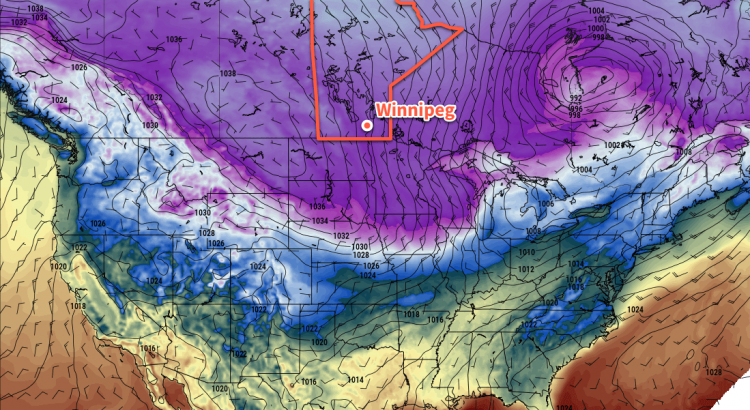
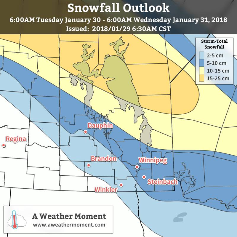
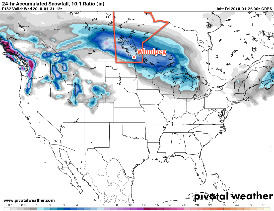
Winnipeg, alongside much of southern Manitoba, will see cloudy skies with some light snow today as an upper-level disturbance slides across the region. The snow won’t accumulate to much, though, with just a centimetre or two expected at most. Temperatures will be milder today with highs near -16°C, but that’s still below the seasonal high of -10°C.
Skies will clear out this evening as temperatures drop to a low near -25°C. A second disturbance will begin working into southwestern Manitoba overnight, spreading more cloud into Winnipeg and the Red River Valley overnight.
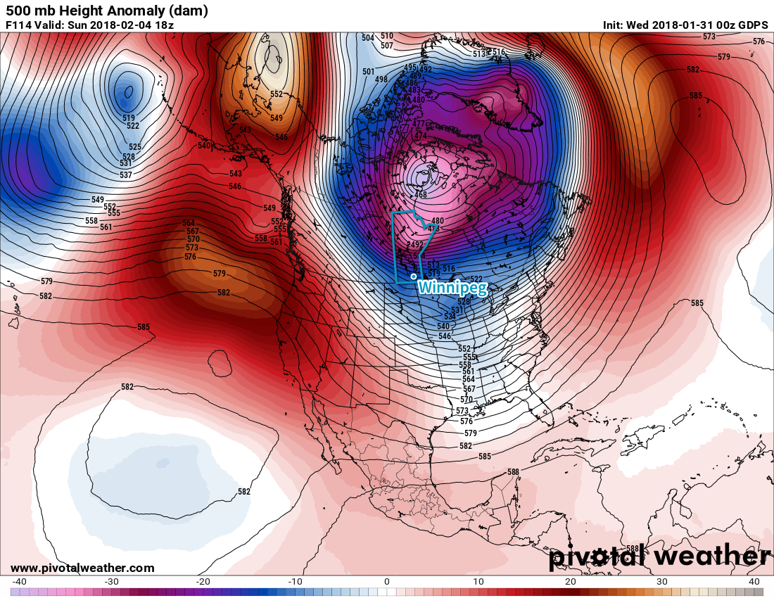
Saturday will be a much cooler day in Winnipeg with a high near -21°C as colder air from an Arctic ridge building across the Prairies moves into southern Manitoba. Winnipeg may see a bit of light snow in the morning, but skies should begin clearing through the afternoon. Saturday night will bring mainly clear skies to Winnipeg with overnight lows dipping to around -28°C. Winds near 15 km/h will produce wind chills near -40, so there’s a chance Winnipeg may end up seeing an extreme cold warning issued from ECCC.
Sunday will see a return to similar temperatures as today as morning sun gives way to some afternoon cloud and temperatures climb to a high near -16°C. This is courtesy a warm front that will move through the region from northwest to southeast. There may be an isolated flurry or two associated with the cloud on Sunday afternoon, but nothing as widespread as the snow expected today or Saturday morning. Temperatures will dip to a low near -21°C under mixed skies on Sunday night.
Update: Windy Sunday
Moderate to strong westerly winds of 40 to 50 km/h will develop this afternoon may produce areas of poor visibility in blowing snow. The primary areas affected look to be along the Yellowhead Highway corridor in eastern Saskatchewan southeastwards into Manitoba and along the Trans-Canada Highway corridor in Manitoba. For travelling, roadways running north-south or northeast-southwest will have the greatest potential to be affected.
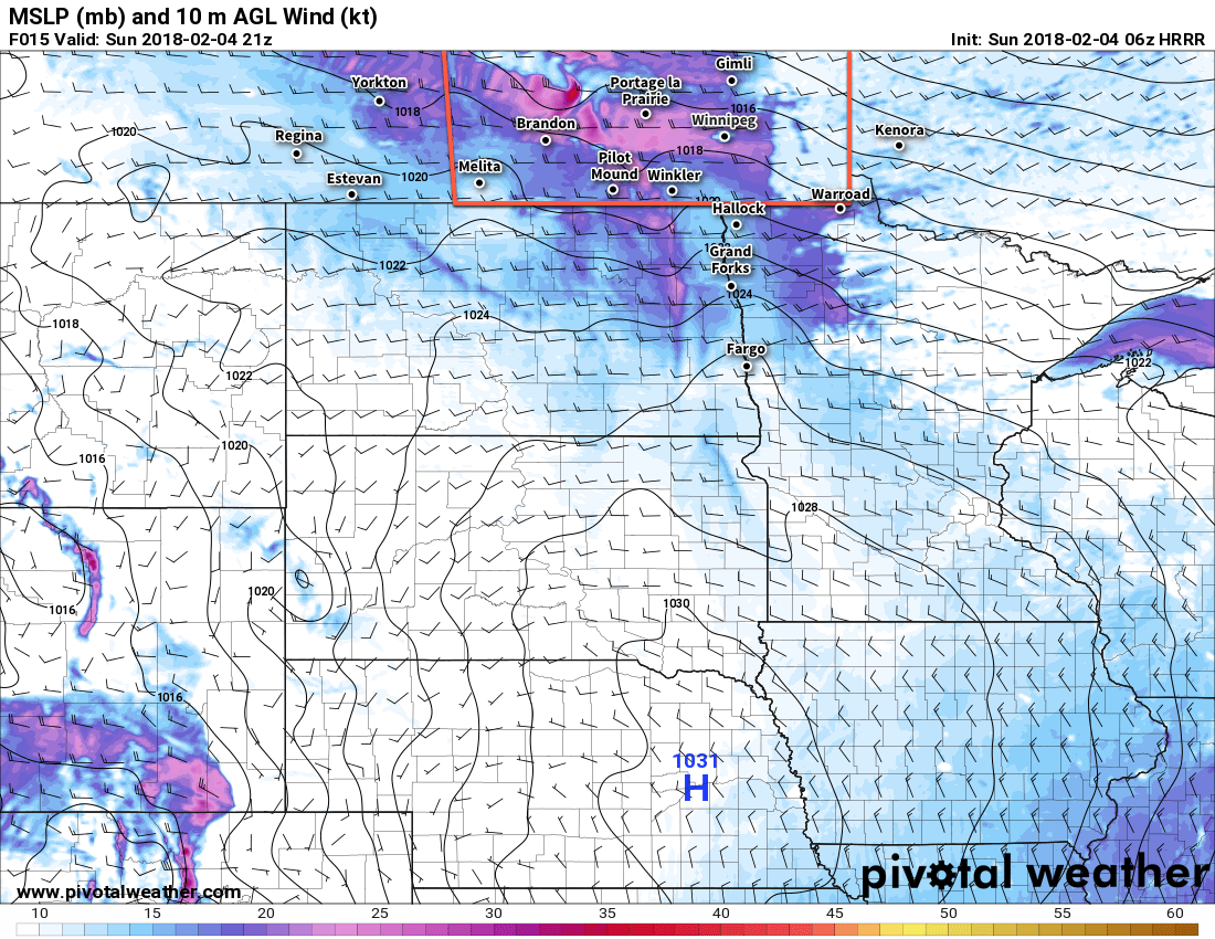
Areas of blowing snow will also likely develop along the western escarpment of the Red River Valley where downsloping produces stronger winds as well.
Long Range Outlook
A quick look ahead to next week shows fairly quiet weather with a mix of sun and cloud and a very slow, gradual trend back towards seasonal temperatures. Really, not much to talk about. Enjoy the weekend!
Winnipeg’s seasonal daytime high is currently -10°C while the seasonal overnight low is -21°C.