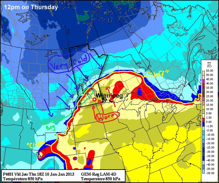
Winnipeg will round out the second half of the week with some sun, some cloud, and and very cold temperatures.

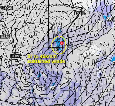
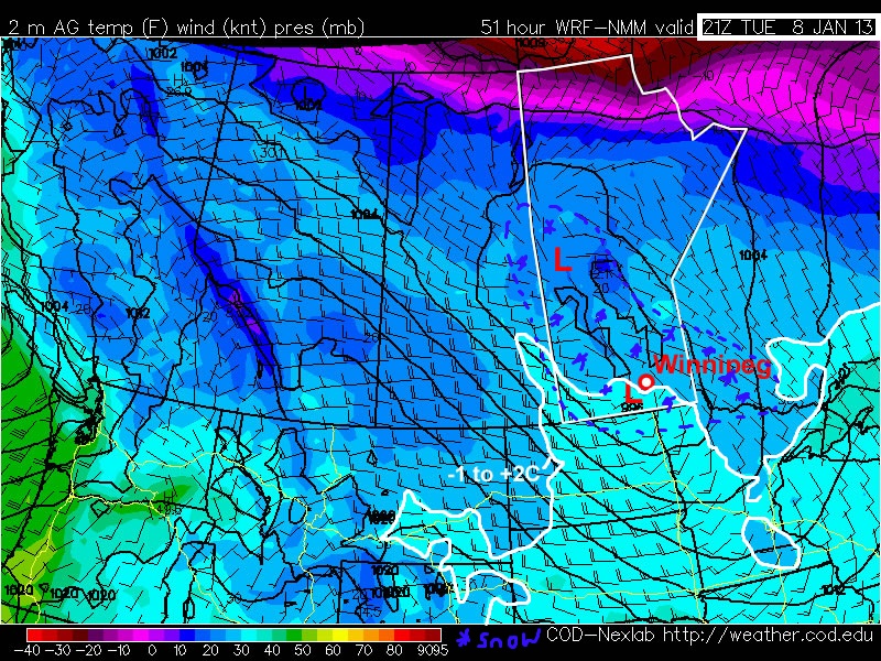
On the backside of yesterday’s system that brought a quick 2–3cm of snow to Winnipeg, a deep pool of bitterly cold Arctic air is infiltrating southwards into the Red River Valley. With sunny skies and a breezy north wind, temperatures will plunge back below the –20°C mark today, bottoming out early this afternoon around –23 or –24°C. Winds will (mercifully) ease off around lunch time, which will minimize wind chill. Temperatures will drop further tonight, with overnight lows dropping below –30°C entirely possible through the Red River Valley, although Winnipeg will likely bottom out at “only” –28 or –29°C.

Thursday will bring another cold day with plenty of sunshine. The daytime high will struggle to reach –22°C with a light wind out of the south that will increase to around 20km/h by the end of the day. This will keep things feeling closer to around –27 or –28 for much of the day. Proving that the weather can be merciful at times, clouds will begin to roll in Thursday night ahead of the next push of warm air from Alberta. The timing of the cloud cover will strongly impact what the overnight low will be; the sooner the clouds move in, the warmer the overnight low is. At this point, it looks like the temperature will bottom out around –25°C.
Why do clouds impact overnight lows? Clouds can make a big difference for two reasons. First, they act like a big blanket; as the ground radiates heat upwards and cools off, instead of escaping off into the upper atmosphere, it is trapped closer to the surface. This dramatically slows the rate the temperature will cool off. Secondly, clouds radiate heat, generated through internal processes and absorption of the energy the surface is releasing, towards the ground. This also helps to slow down how quickly the temperature drops, or in some cases, even warm it up a little.
On Friday we’ll be under the influence of the next impulse coming across the Prairie. While we won’t get to see the warm air with this system, it’s proximity to us will at least warm us up to around –13 or –12°C. There will likely be periods of light snow across most of the Red River Valley with 2–3cm accumulations likely by the end of the day.
Light snow will persist through the night into Saturday morning. Saturday will bring with it gusty northwesterly winds as things clear out and that bitterly cold Arctic air re-establishes itself over the region. Up to another 2–3cm are possible on Saturday before things clear out. Sunday looks to be sunny and very cold, with daytime highs near –24°C.