Summer Heat Brings First Significant Thunderstorm Risk of the Year

The mercury will soar today thanks to the significant upper-level ridge over the region that has brought very warm air into the province. That hot weather will moderate a bit for the weekend, though, as a low pressure system moving through tonight will bring a threat of thunderstorms to the region and push temperatures down closer to seasonal values.

A scorcher is on the way today as temperatures climb above the 30°C mark across much of southern Manitoba. Southerly winds around 30 km/h will help bring up some humidity from the United States, and by the afternoon it may actually begin to feel muggy as well.

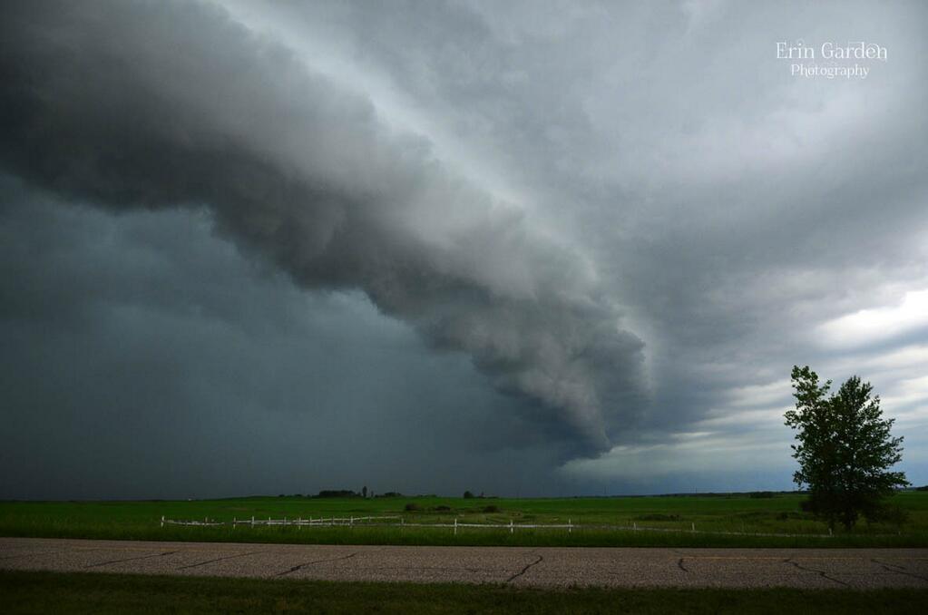
The weather will turn later this afternoon over the southwestern corner of the province as a cold front pushes eastwards across the province. Thunderstorms will develop near the Saskatchewan border mid- to late-afternoon and then grow into a line along the cold front as they progress eastwards through the evening.

Thunderstorms are possible across Southern Manitoba today with a risk of severe thunderstorms over the Parkland, southwestern portions of the province, and the western Red River Valley.

The biggest risk for severe weather will be in the afternoon during the early stages of thunderstorm development. Thunderstorms will have more energy to work with with temperatures in the 30’s combining with dew point values in the mid-teens providing 2000-2500 J/kg of CAPE. Shear will be a bit lacking, at 20-35 kt of 0-500mb bulk shear depending on the position with respect to the cold front.

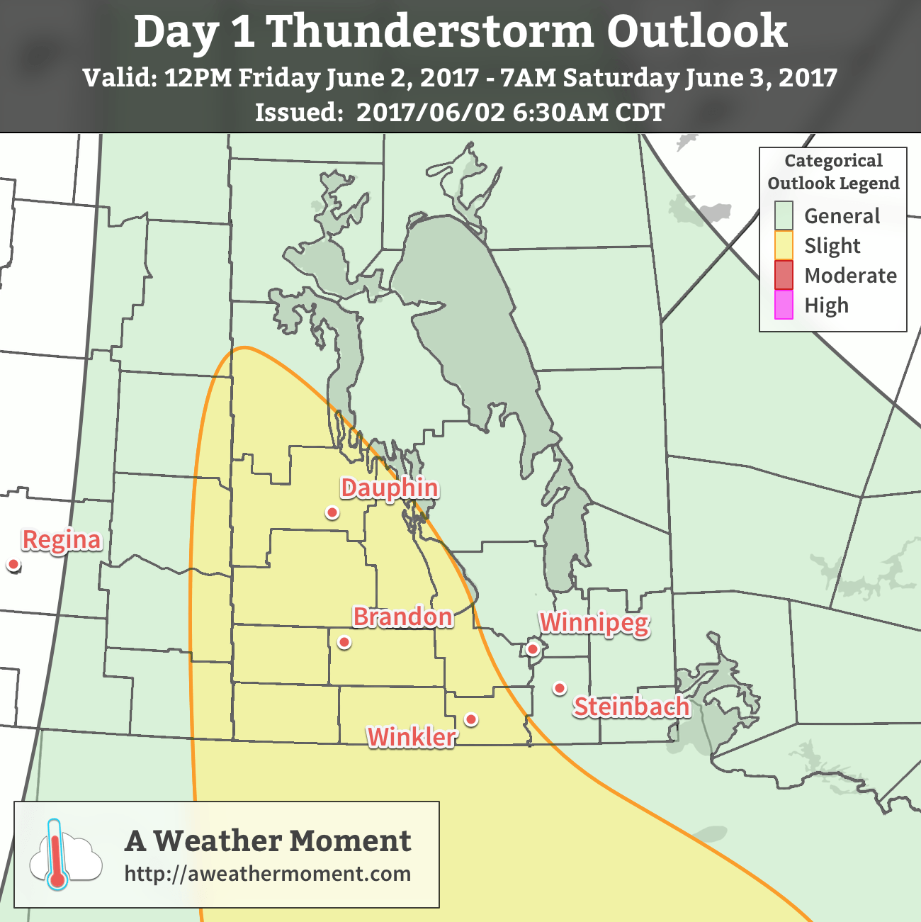
That said, there’s a slight risk of severe thunderstorms across southwestern Manitoba tomorrow with the primary threat being large hail. Some of these thunderstorms may also produce strong to severe wind gusts.

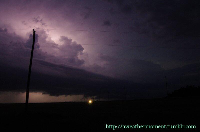
The energy and dynamics to support these storms will shift as the evening progresses, with the best support slumping into the United States. As the line moves into the Red River Valley, the threat for severe weather diminishes, however thunderstorms will likely continue to roll eastwards through the night.

The expectation for thunderstorms to decrease in severity as they progress eastwards is based on the belief that models are being too aggressive in their advection of elevated dew point values into Southern Manitoba. If higher dew point values pushing into the upper teens do in fact show up in the region, the threat for severe thunderstorms will persist all night, and there would be an increased likelihood of a severe squall line along the cold front. Strong linear forcing could produce bowing segments with severe winds should that outcome occur.

The Weekend

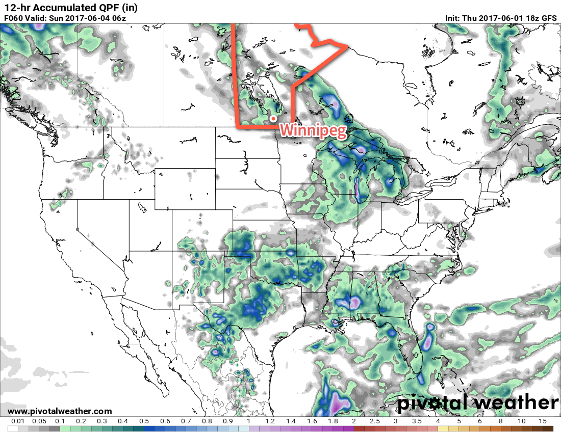
Saturday will bring clearing skies in the morning, and then a few afternoon clouds with a slight chance of another shower or thundershower in the afternoon. The showers will move down from the northwest on the backside of Friday’s low, but as of writing it seems like most guidance suggests the showers will stay to the north and pass through the Interlake. That said, there’s a chance Winnipeg may see a little more rain in the afternoon.

The GFS is an outlier forecasting widespread showers across Southern Manitoba on Saturday afternoon

Aside from that, it will be a pleasant day with a high near 26°C and westerly winds to 20-30 km/h. Temperatures will dip to around 15°C on Saturday night with clearing skies.

Sunday will bring mainly sunny skies and a high temperature near 25°C to Winnipeg. Winds will be 15-25 km/h out of the north. All things considered, a great day!

Winnipeg’s seasonal daytime high is currently 22°C while the seasonal overnight low is 9°C.

Calming Down After A Wild Night

Things will gradually calm down after a wild night in Winnipeg which saw a highly developed squall line move through the city. Fuelled by the heat and humidity that built up over southern Manitoba through the day, it started as a few severe thunderstorms that fired along a trough line in SE Saskatchewan and SW Manitoba then quickly developed into an impressive line of storms that raced eastwards across the Red River Valley.

image-1

Photo of a shelf cloud on a supercell in Southern Manitoba on Tuesday afternoon. Credit: @Erin_Shutterbug

Initially the storms brought golf ball sized hail and torrential downpours to southwestern Manitoba. The village of Reston, MB received 104mm of rain in just 3 hours. This was in addition to the nearly 200mm of rain they received on Friday night and then the 25–50mm of rain the region on Sunday as rain moved through the region, bringing their week total to over 300mm. With devastating flooding in the region, officials do no recommend travel in the area. They are looking for volunteers to help with sandbag and pump efforts; volunteers can register with the R.M. of Pipestone Municipal Office at (204) 877–3327. Some highways in the area are closed due to overland flooding.

image-2

Photo of the squall line as it approached Winnipeg on Tuesday night. Credit: @lovestormsMB.

Here in Winnipeg, the storm rolled in around 10:50PM as near-constant lightning filled the skies. A very menacing looking squall line promptly pushed in producing winds as high as 90–100km/h that ripped through the city snapping some tree branches and producing some localized power outages mainly on the south side of the city. Rain hammered down with the central and southern parts of the city seeing 20mm of rain in under an hour. Northern parts of the city received a little less rain, only getting around 5–10mm with the initial line of storms. A large area of stratiform precipitation moved in and brought another 5–10mm of rain to the city through the night.

Things will slowly dry out and stabilize over the next few days as an upper ridge slowly builds over the Rocky Mountains.

Today & Tomorrow

Wednesday

27°C / 17°C
Warm and humid; afternoon clouds with scattered showers. Risk of a thundershower.

We’ll see some afternoon clouds today as the sun warms us up and destabilizes the lower atmosphere. Some scattered showers will develop with the risk of some thunderstorms as a shortwave pushes into Southern Manitoba coupled with a strong upper-level jet running along the International Border. There is little threat of severe storms today, but given the high dew points any thunderstorms that develop may produce quite intense downpours. They should move along at a decent speed today, though, so no one place should see too much rain. We’ll see a high around 27°C today.

Thursday

27°C / 15°C
Afternoon clouds with a chance of showers.

We’ll drop down to around 17°C tonight with skies gradually clearing.

Tomorrow will bring another warm day with some afternoon clouds and a slight chance of afternoon showers. Winds will pick up out of the northwest to 30 or 40km/h which will help push some of the moisture out of the Red River Valley and drop the humidity down to something a little more comfortable.

Friday

Friday

23°C / 13°C
Increasing cloud. Chance of rain overnight.

Friday will bring increasing cloudiness as an upper trough begins slumping southwards from the central/northern Prairies. It looks like any rain will hold off until the overnight period, and if it does end up moving in, amounts won’t be anything too extreme. At this point, it seems like only around 5mm would be likely. There would be no threat of thunderstorms with this system.

The weekend is looking pleasant with plenty of sun and highs around 25°C.