Warming Up, Just to Get Knocked Back Down

Temperatures will rebound early this week, but a big weather-maker may interrupt that warm-up by midweek.

Warmer air will move into Southern Manitoba on Monday, but it will be windy.

Monday

Monday

Sunny
21°C / 9°C

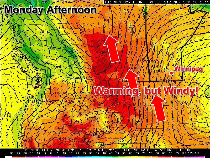
Today will be bright and sunny with temperatures improving over Sunday’s cool values. Highs will be in the low twenties over Southern Manitoba, which is quite a recovery from this morning’s lows, which were around freezing. The only downside to today’s weather will be a stiff southerly wind that will be 30 to 40km/h gusting to 50 to 60km/h by late afternoon.

Tuesday

Tuesday

Mainly Sunny
27°C / 13°C

Tuesday will be one of the warmest, if not the warmest, days this week with high temperatures in the mid to upper twenties. The humidity may even increase a bit by late in the day over some portions of Southern Manitoba. It certainly won’t be an oppressive mid-summer type of humidity, but may be noticeable nonetheless. Tuesday will be slightly less windy compared to Monday, but the wind will still be fairly strong and from the south.

Wednesday

Wednesday

Mix of Sun and Cloud. Rain late. Risk of a thunderstorm.
25°C / 17°C

What has been a fairly boring weather pattern so far this September may begin to take an interesting turn on Wednesday. A strong low pressure system is forecast to develop in the lee of the Rockies on Tuesday and move eastward into North Dakota by Wednesday. This system will prompt seasonably high moisture values to stream northward into the Dakotas and Southern Manitoba. This moisture will help to destabilize the atmosphere over a large part of the North-Central US, perhaps extending up into Southern Manitoba. This system will also pump warm air up into the region, with models currently suggesting temperatures will once again reach the mid to upper twenties in Southern Manitoba on Wednesday.

As this strong low pressure system interacts with that unstable environment, numerous thunderstorms may develop on Wednesday through Wednesday night. These storms may affect parts of Southern Manitoba at some point on Wednesday or early Thursday. Given the nature of this system it looks like the main severe threat will be heavy rain. However, it is too early to rule out the possibility of other forms of severe weather. We’ll have more updates on this system as the week progresses.

Long Range

The long range forecast will largely be determined by what happens with Wednesday’s system. At this point it appears likely that we’ll receive rain from this system, but the timing of that rain is too early to predict. Unfortunately, once this system moves out of our area it will deliver a parting shot of cold air, which will probably set up a chilly weekend. Again, how cold it will get is still not certain, but getting above seasonal values next weekend may be a struggle.

Heat Continues

After a sweltering weekend, the heat will persist into this week with temperatures remaining well above seasonal values.

A Large Upper High Centred Over the United States will Continue to Bring Hot Weather to Southern Manitoba This Week

Monday

Monday

Increasing Cloudiness in the Morning
30°C / 17°C

Today will see increasing cloudiness in the morning with the approach of a strong upper level jet stream. Clouds will be mainly mid and upper level in nature, but will help to hold down temperatures somewhat. There will be a slight risk of thunderstorms in Western Manitoba during the evening and early overnight period, with isolated severe cells being possible. This risk will result from a weather system pushing in from Saskatchewan.

Tuesday

Tuesday

Mainly Sunny
32°C / 19°C

Tuesday will be a Mainly Sunny day in Southern Manitoba. Temperatures will climb up into the low thirties with light winds. No significant weather is expected.

Wednesday

Wednesday

Mainly Sunny
32°C / 20°C

Wednesday looks to be quite similar to Tuesday. Temperatures are expected to once again climb up over 30C with skies being mainly sunny. The wind might be a bit stronger, but that probably won’t be a bad thing given hot hot it will be.

Long Range

In the long range it appears we’ll stick with the heat for some time yet. Models really show no significant cool downs in the foreseeable future.

Elsewhere in Weather News: July 20th, 2013

Severe Weather Outbreak in Southern Ontario; Numerous Warnings Issued Friday

On Friday, severe weather rolled across much of southern Ontario, southern Quebec and nearby states such as Michigan and New York. Severe weather was imminent in the region as a strong squall line of storms formed with some bowing segments in the morning and continued into a great thunderstorm environment as the afternoon wore on. CAPE values were quite high, shear sufficient and for any storms that remained discrete, a decent tornado potential was there before getting absorbed into the squall line. This prompted a plethora of warnings to be issued, including numerous tornado warnings throughout the day.

Wind damage was the biggest concern on Friday though, numerous reports of wind gusts exceeding 100km/h and even one report as high as 119km/h in Waterloo Ont., were reported. In turn, significant damage was reported across southern Ontario; mature trees knocked down, trees falling on homes and winds flattening crops. As of Friday night 550,000 people were still without power in Quebec and Ontario due to winds knocking down power lines and trees falling on lines. Storm survey teams are expected to head out to various spots across southern Ontario tomorrow to determine if damage was caused by straight-line winds or a tornado touching down. Two unconfirmed funnel clouds had been reported around the towns of Bradford and Barrie, Ontario. Unfortunately one person has died and ten more have been injured because of falling tree limbs; this is a reminder to people that even though a tornado might not be imminent, it’s better to take cover as a storm approaches.

Downed tree

Large trees downed in Toronto by strong winds produced in Friday’s storms. (Source: City News)

The cold front behind this system will put end to Ontario’s heatwave. Many cities in southern Ontario, including Toronto, had reached “official” heatwave status by reaching 32°C three days in a row. This combined with high humidity values made for excessive heat, therefore it’s likely that most residents will welcome the cooler and drier air on Sunday.

Generally Nice Weekend In Store

A generally nice weekend is in store, with the exception of possible rain or storms on Saturday.

Areas outlined in red over Manitoba are forecast to be between 27 and 29C by the NAM model

Friday

Friday

Mainly Sunny
28°C / 18°C

Today will be another beautiful day in Southern Manitoba. High temperatures will be in the upper twenties under mainly sunny skies. The wind will be fairly light and from the north.

Saturday

Saturday

Mix of Sun and Cloud. Chance of showers or thunderstorms.
27°C / 15°C

Saturday looks to be the only possible wrench in the weekend forecast. It appears that skies will be a mix of sun and cloud or mainly cloudy on Saturday with a chance of rain and risk of a thunderstorm. Any storms that roll through will be non-severe, but possibly enough to cause disruption to outdoor activities. It is possible we may entirely avoid rain and thunderstorms on Saturday, so hopefully that will be the case. If we steer clear of precipitation, temperatures on Saturday may reach the upper twenties in Southern Manitoba. However, if it stays cloudier then highs will end up in the mid twenties.

Sunday

Sunday

Mainly Sunny
27°C / 15°C

Sunday should be mainly precipitation free in Southern Manitoba, except for perhaps a stray shower or thundershower. Temperatures are expected to be in the mid or upper twenties with light winds and mainly sunny skies.

Long Range

As we move into next week the heat is expected to crank up once again. Temperatures in the upper twenties or near thirty degrees are expected on most days. Models hint at the potential for storms later in the week, but it is too early to discuss that any further.