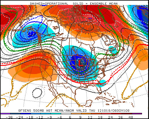
We’ll continue to chip away at the cold air and push towards seasonal temperatures over the next few days as the ridge of high pressure anchored over the province slowly weakens.
Mainly sunny. Increasing cloud overnight.
-7°C to -3°C / -14°C
A mix of sun and cloud.
-3°C / -12°C
Becoming sunnier than cloudy.
-3°C / -13°C
We’ll see mainly sunny skies today as temperatures climb from anywhere to -7°C on the northwest side of the city to closer to about -3°C downtown. Some cloud will start pushing into the Red River Valley from the east tonight which will limit our overnight low to only around -14°C instead of dropping back into the -20’s again. Saturday will see more cloud than sun with temperatures climbing to around -3°C and dropping to slightly below -10°C Saturday night. The clouds will start to break up on Sunday; we’ll likely see more sun than cloud through the late morning and afternoon period as the temperature climbs up to around -4°C yet again.
Long Range
Current indications for the next week or so are that not much will change; no large systems are in our forecast which will certainly be a help to the flooding situation. Days just below zero combined with the strong March sun and no additional precipitation are excellent for helping with the potential flood situation by melting the existing snowpack at a gradual pace.


