RDPS Surface Temperature Forecast – 00Z Tuesday July 21, 2015

Pleasant, Sunny Conditions to Start the Week

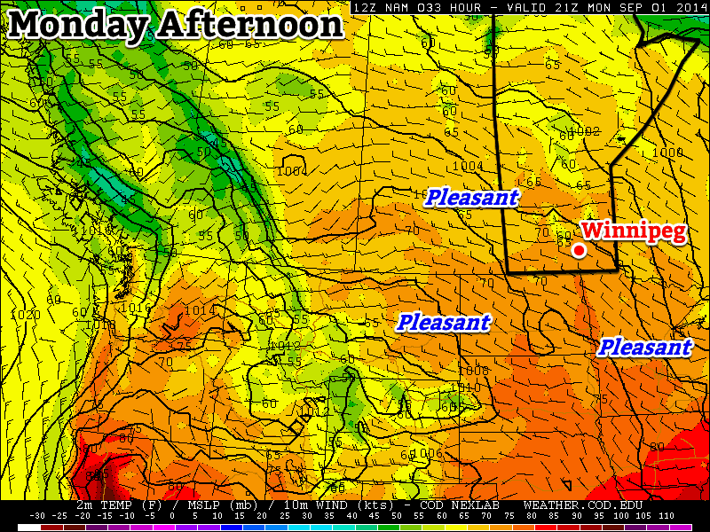
Tired of the phrase “chance of a thunderstorm” and want to just have a couple days without rain? Good news! It looks like Winnipeg & the Red River Valley will finally shake the unsettled weather pattern and see a couple days of calm, pleasant summer weather with very little chance of precipitation thanks to an upper-level ridge that will build into the Eastern Prairies.

The coming few days will see gradually warming as we transition from the cool air mass left behind from the systems that tracked across the region on Saturday & Sunday into a warmer air mass pushing in from the west. Today will be the coolest day with a daytime high of just 22 or 23°C under partly cloudy skies. There may be some isolated shower or thundershower activity, but at this point it looks like it would be very spotty in the Red River Valley. Temperatures will dip to around 12°C tonight.

Tomorrow and Wednesday will both be beautiful summer days with highs climbing into the mid-to-upper 20’s under mostly sunny skies. Winds look fairly calm, although by Wednesday afternoon we could see southerly winds begin to strengthen. At this point it doesn’t look too bad – perhaps 30km/h with some gustiness on top of that – but if the pattern speeds up a bit, we could end up seeing quite windy conditions out of the south by then. Conversely, if the entire pattern is a bit slower we’ll see calm conditions throughout the day. Overnight lows both nights will be in the low-to-mid teens.

Hot, Humid & Stormy Weather Returns for End of Week

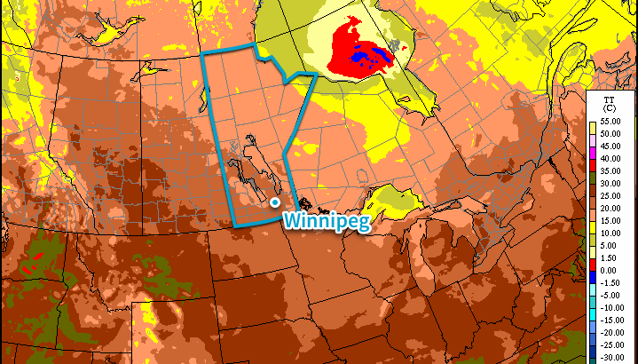
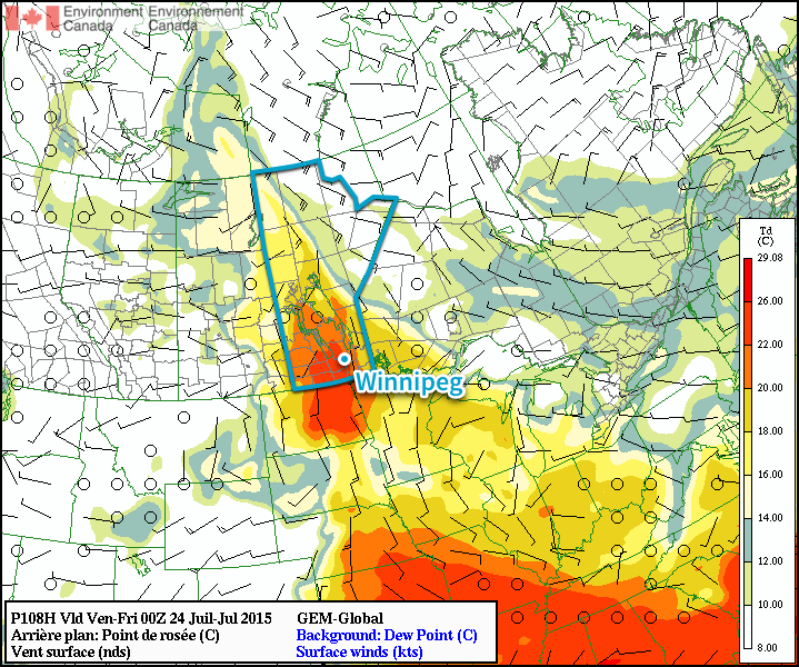
Looking ahead into the second half of the week, the trend seems to be for the hot and humid weather to return. As the upper ridge transitions across the region, deep layer southerly winds developing will tap into more humid air to our south and begin increasing the dew point. By Thursday evening, the dew point could be as high as 20–22°C, making it feel very sticky out there. Depending on the exact daytime highs, Thursday and Friday could both end up feeling more like the mid-to-upper 30’s instead of the upper 20’s thanks to the humidity.

GDPS Surface Dew Point Forecast – 00Z Friday July 24, 2015
The GDPS is forecast dew point values climbing into the 20-22°C range by Thursady evening.

In addition to all that heat and humidity, a low pressure system tracking through at the end of the week looks to bring the potential for strong to severe thunderstorms, likely on Thursday. More on that later this week!

Plesant End to the Long Weekend

This week will start off with pleasant conditions, as we experience a nice end to the long weekend.

Labour Day will be pleasant in southern Manitoba

Monday

Monday
23°C / 8°C
Mix of sun and cloud with a chance of showers or thunderstorms

Today will be a pleasant day in southern Manitoba. Temperatures will be in the low to mid twenties with a light westerly wind and partly sunny skies. There will be a slight chance of showers or thunderstorms, but any rain should be isolated and short-lived. Overall, it will be a good end to the last long weekend of summer.

Tuesday

Tuesday
24°C / 10°C
Mix of sun and cloud with a chance of showers or thunderstorms

Tuesday will be another nice day in southern Manitoba. Skies will be a mixture of sun and cloud, with temperatures in the mid twenties. There will once again be a slight chance of showers or thunderstorms, but they’ll again be isolated.

Wednesday

Wednesday
24°C / 13°C
Mix of sun and cloud

Wednesday will once again feature seasonably warm conditions in southern Manitoba. High temperatures will be in the low to mid twenties with light winds.

Long Range

The long range forecast is a bit uncertain at this time. It looks like we’ll generally see near seasonal conditions in the short to medium term, which means temperatures in the lowish twenties. There will however be some days warmer, and some cooler, than seasonal values.

Summer Weather Turns Unsettled at Weeks End

Southern Manitoba is in the middle of one of the most pleasant stretches of summer weather so far this year; humidity is relatively low with plenty of sun and daytime highs sitting in the mid-to-upper 20’s. This beautiful weather will continue for another couple days before an upper-level low pressure system begins impacting our region on Friday, bringing unsettled weather back to the region.

Wednesday
26°C / 13°C
Mainly sunny

Thursday
26°C / 18°C
Mixed skies with a chance of showers in the evening

Friday
26°C / 15°C
Chance of [thunder]showers

Today and tomorrow will both be beautiful days with highs around 26°C and light winds as a ridge of high pressure moving through the province quashes any unwelcome weather. Both days will also feature ample sunshine and fairly light winds, although around the end of tomorrow winds will likely begin to pick up out of the southeast to around 20–30km/h. Tonight’s overnight low will hover around 13°C.

Thursday evening will mark the arrival of the leading edge of a major low pressure system developing over the western Prairies. A leading disturbance will swing into Southern Manitoba through the night, bringing a good chance of shower activity to most places[1] with around 5mm of rain expected in most places that see the showers. It may end up being more hit and miss and we’ll be able to refine the forecast as we get closer to the event.

A moderate risk of severe thunderstorms this afternoon will translate into a slight risk over SW Manitoba this evening.
A moderate risk of severe thunderstorms this afternoon will translate into a slight risk over SW Manitoba this evening. See our discussion below.

Perhaps of heightened concern for Thursday evening is the potential for severe thunderstorms over extreme Southwestern Manitoba. It’s worth being aware of the potential at the moment, however there are a lot of potentially complicating factors that will become clear tomorrow as to whether or not that threat will be able to be realized or not. We’ll update in the comments below with more details early in the day on Thursday.

Friday will bring unsettled weather. While morning showers will be possible, the weather will transition into a mix of sun and cloud fairly early before the threat for showers or thunderstorms redevelops in the afternoon. The redevelopment will not affect all of Southern Manitoba; it will mainly be of concern for the Red River Valley/Interlake and areas eastwards. Despite the unsettled weather, temperatures will be warm with highs sitting near 26°C. The humidity will be a little more noticeable, but nowhere near the humid days we’ve had so far this year.

Mixed Weekend

Looking ahead to the weekend, Saturday looks like showers will push through the region through the day underneath the upper-level low as it pushes through. Highs on Saturday will once again be in the mid–20’s. Sunday will be a return to pleasant weather as a ridge of high pressure begins building back into the area. Highs will likely be, you guessed it, in the mid–20’s!


  1. Including the Parkland region, southwest Manitoba, the Red River Valley, southeastern Manitoba and the Interlake.  ↩

Nice Holiday Monday, but Then it Gets Ugly

The last day of the long weekend will be quite nice, but then conditions will turn ugly for Tuesday as a strong cold front pushes through.

Monday will be a Generally Pleasant Day in Southern Manitoba

Monday

Monday

Mix of Sun and Cloud. Chance of Showers.
25°C / 14°C

Today will be fairly nice in Southern Manitoba. Afternoon temperatures will be in the mid twenties under a mix of sun and cloud. The atmosphere will be a bit unstable later in the day, meaning that some isolated showers or thunderstorms may develop. These showers and storms are most likely to occur along and north of the Trans-Canada, though some areas south of the highway will still stand a slight chance of seeing an isolated cell move through. Wind speeds will be light, so overall it will be a quite a nice day in those areas that don’t see any showers or storms move through.

Tuesday

Tuesay

Rain early, then Decreasing Cloudiness
18°C / 5°C

The weather will be in transition on Tuesday as a strong cold front blows through early in the morning, setting up unseasonably cool weather for much of the week. There will likely be some showers, or perhaps even thundershowers, associated with this front as it passes through. However, amounts don’t look to be particularly high. In total, amounts will probably range from about 5 to 15mm, with locally higher amounts. Once the rain clears the region on Tuesday morning, temperatures won’t recover very much. Highs on Tuesday will only be in the mid to upper teens with a stiff northerly wind. Obviously Tuesday will be an unpleasant day, certainly not what we’d hope for in early August.

Wednesday

Wednesday

Increasing Cloudiness. Chance of Showers.
19°C / 9°C

Wednesday will be another cool day in Southern Manitoba from start to finish. Early morning temperatures will be in the mid single digits, with a recovery to the upper teens or perhaps twenty degrees by afternoon. Unfortunately, the atmosphere will quickly destabilize with daytime heating, prompting numerous showers to develop by afternoon. By this point you can probably recognize that this week isn’t going to be very nice.

Long Range

Medium range weather models suggest that the remainder of the work week will stay cool and showery. In the longer range models suggest we may begin to see temperatures trend back towards normal by next weekend, but that is still a bit far away to get overly excited about.