Pleasant Weather Continues Through Beginning of Weekend

The generally mild and pleasant weather Winnipeg has seen the past couple days will continue for a few more, bringing sunshine and slightly above-normal temperatures until the next disturbance arrives in the region on Sunday.

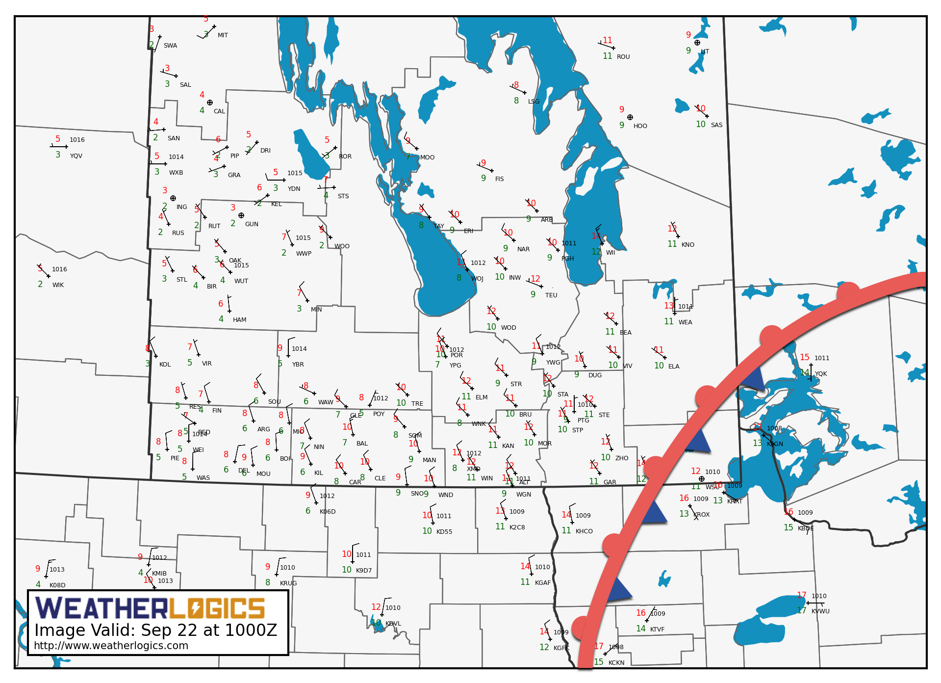
Winnipeg is off to a chilly start today, courtesy a ridge of high pressure sitting right on top of the region that has plunged overnight lows to around the freezing mark. As the ridge moves off to the southeast today, temperatures will rebound back to seasonal values; Winnipeg should see a high near 15°C with light southerly winds and mainly sunny skies (outside of any fog that will burn off through the morning). The Red River Valley will see clear skies tonight with southerly winds increasing to 20-30 km/h by Saturday morning. Temperatures will dip to a low near 5°C in Winnipeg.

RDPS 2m Wind Forecast valid 00Z Sunday October 1, 2017
Breezy southerlies will develop as outflow from a large ridge of high pressure over Ontario is squeezed against an incoming low pressure system

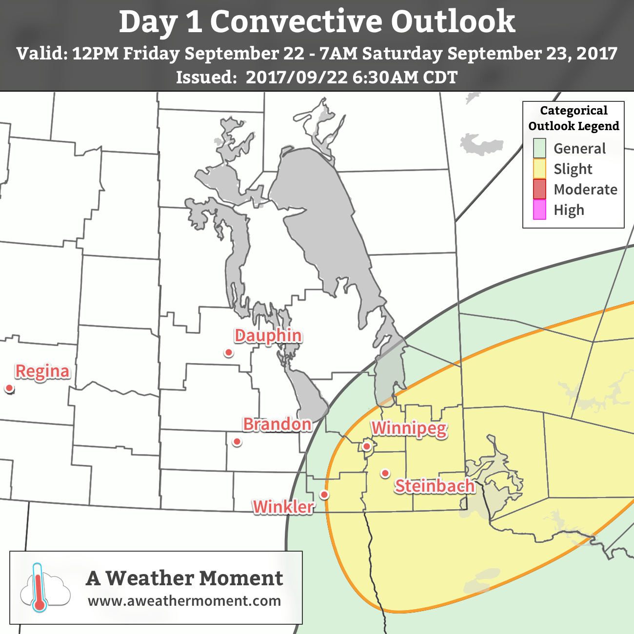
Saturday will be a warm and windy day with southerly winds increasing to around 40 km/h as temperatures climb to a well above-seasonal high of 19 or 20°C. Skies will be sunny through the morning, but cloud will begin working into the region from the south later Saturday afternoon into the evening. There will be a slight chance of some showers as the low-level jet ramps up and brings some mid-level instability to the region. Temperatures will continue mild on Saturday night with a low near 13°C and breezy southerly winds continued.

NAM 12hr. QPF Forecast valid 03Z Monday October 2, 2017
Rain is possible across much of southern Manitoba on Sunday

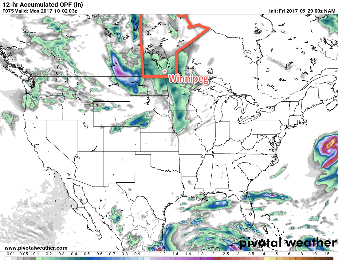
Sunday will bring cloudy skies to the region as a low pressure system moves in from the west. Winds will continue out of the south-southeast at around 30 km/h and temperatures will be just a tad cooler than Saturday with highs near 17°C. Showers will be possible throughout much of the day, particularly in the afternoon and evening as a more organized area of rain lifts northwards out of the Dakotas. There will also be a slight chance of seeing a thunderstorm as there will be a low to moderate instability associated with this system. A chance of rain will continue on Sunday night as temperatures dip to a low near 10°C.

Long Range

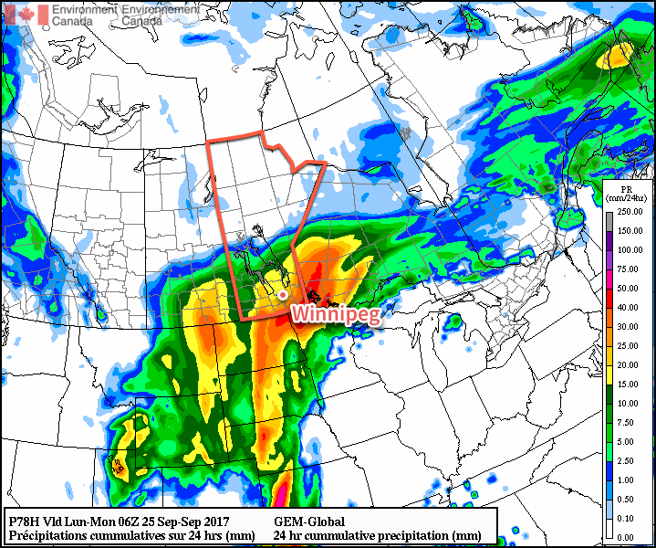
Next week starts with a bit of a mixed bag; the unsettled weather will likely continue on Monday before improving in the evening, but another chance for rain looks to materialize on Tuesday afternoon. The rest of the week looks drier, but with sporadic chances for some light rain. Temperatures will continue near- to below-seasonal for much of the week.

Winnipeg’s seasonal daytime high is currently 15°C while the seasonal overnight low is 3°C.

Late-Season Thunderstorm Risk Returns to the Red River Valley

A developing Colorado Low has brought very humid conditions to Manitoba’s doorstep, and a disturbance moving through the province today will tap into that moisture and spread showers and thunderstorms across the Red River Valley into the southeastern corner of the Province.

An upper-level disturbance moving through the province will bring a late-season thunderstorm risk to the Red River Valley with a small risk of severe storms. There’s a surprising amount of support for thunderstorms, largely due to the building humidity in Minnesota over the past few days. While the weather in Winnipeg is cool and dry, conditions have become positively balmy in Minnesota, where there are overnight lows in the 20s thanks to sticky dew points in the 20-22°C range.

A stationary front lies across northern Minnesota and far southeastern Manitoba this morning.

The dry air over the Red River Valley is separated from the muggy Minnesota conditions by a fairly strong frontal boundary running from Nebraska northeastwards through Minnesota and into northwestern Ontario. As an upper-level disturbance approaches today, that humid air will be lifted up over the front and into southern Manitoba. So while we won’t see particularly humid conditions here at ground-level, further up in the atmosphere will see significant moisture move in.

Before the weather gets busier this afternoon, temperatures will climb to a high near 18°C, but winds will be breezy, increasing out of the northeast to 30 gusting to 50 km/h.

By mid- to late-afternoon, things will likely begin firing up with widespread showers moving into the province from North Dakota. While showers and/or thunderstorms will be widespread over south-central and southeastern Manitoba, the severe thunderstorm threat will be confined to two regions. Within the Red River Valley, there will be a slight chance of an isolated severe thunderstorm or two, while southeastern Manitoba sees a higher chance of more widespread severe thunderstorm activity. The primary threats from today’s thunderstorms would be severe hail and/or wind.1

AWM Thunderstorm Outlook for September 22, 2017

The rain and thunderstorms will move out of the region this evening. When all is said and done, most areas will have seen somewhere between 5-10 mm of rain, with amounts of 20-40 mm possible in areas that see more thunderstorm activity. Skies will remain fairly cloudy tonight as temperatures dip to a low near 10°C with winds diminishing to around 20 km/h.

Things calm down for Saturday as the region sees a lull between Friday’s disturbance and another system moving on for Sunday. Expect mostly cloudy skies, a high near 16°C, and winds out of the north at around 20 km/h. Skies will remain cloudy on Saturday night with a low near 10°C again.

GDPS 24hr. QPF valid 06Z Monday September 25, 2017
Some guidance suggests significant rainfall on Sunday

A Colorado Low will progress through the region on Sunday, bringing rainy conditions to much of Southern Manitoba. Unfortunately at this time, it’s not quite clear exactly how rainy things will be. Some guidance has this system a bit more progressive and tracking further eastwards, which would result in 5-15 mm of rain in the Red River Valley, but others — such as the GDPS shown above — are slower with the system and bring it further west. The slower solutions would result in higher rainfall amounts for the region, more likely in the 15-30 mm range with localized spots perhaps seeing 40 mm.

At this point, the lower rainfall solution seems most likely, but we’ll be keeping an eye on it. Otherwise, it will be a cool day with a high of just 12°C and more northerly winds around 30 km/h. Expect a cloudy low near 9°C on Sunday night.

Long Range

Cloudy and cool conditions are expected to persist into the beginning of next week, but Winnipeg will likely be done with any significant rainfall chances. By mid-week, it looks like things will clear out with temperatures returning to seasonal values. The more pleasant weather may continue through next weekend, which would be a nice change!

Winnipeg’s seasonal daytime high is currently 16°C while the seasonal overnight low is 4°C.

  1. EC³ considers hail with 20 mm diameter or larger and wind gusts in excess of 90 km/h to be severe.

Warmer Weather Returns, But More Chances For Rain Ahead

Temperatures will rebound back above seasonal values today as southwesterly winds aloft bring warmer air back to the region, but another major low pressure system is heading into the Prairies that will spread rain across southern Manitoba on Tuesday.

Today will be a beautiful day in Winnipeg after a bit of a dreary weekend with plenty of sunshine and a high near 19°C. Winds will be light out of the south to southeast. Through the afternoon hours, a bit of cloud will move through the region, bringing mixed skies to Winnipeg and cloudier conditions to the southeast. Some areas may even see some light showers, but that looks like it will be more confined towards the Whiteshell and Sprague regions. Temperatures will then head to a low near 10°C tonight under a few clouds.

RDPS 2m Temperature Forecast valid 21Z Monday September 18, 2017
Daytime highs will sit in the upper teens across much of Southern Manitoba on Monday.

Tuesday will bring the arrival of the next significant low pressure system in Manitoba. Temperatures will continue to be relatively mild with highs near 19°C again, but winds will be breezy picking up out of the southeast to 30-40 km/h. Cloud will spread into the region early in the day, with rain blossoming1 mid-day over southwestern Manitoba and mid- to late-afternoon over the Red River Valley. The winds will then taper off in the evening, with the bulk of the rain pushing off east of the Red River around midnight. Temperatures will dip to a low near 11°C.

GDPS 24hr QPF Forecast valid 18Z Wednesday September 20, 2017
The GDPS suggests very high rainfall totals possible west of Winnipeg on Tuesday afternoon and evening, but the overall rainfall totals will likely fall into the 10-25mm range over the Red River Valley.

Wednesday will start off with a slight chance of a few lingering showers, but will then transition towards drying out and clearing as the day progresses. Temperatures will be mild with highs near 20°C again with a bit of a breeze out of the west to southwest at around 20-30 km/h. Expect a low near 11°C on Wednesday night under mainly clear skies.

Long Range

Thursday looks to be another nice day with above-seasonal highs near the 20°C mark, but then another major low pressure system will track into the Northern Plains Thursday night through Friday, bringing another chance for rain alongside brisk northeasterly winds and cooler temperatures. Once it passes by Sunday, it appears that Winnipeg will then see a more extended period of near- to below-seasonal temperatures.

Winnipeg’s seasonal daytime high is currently 17°C while the seasonal overnight low is 5°C.

  1. There may even be a chance of seeing some thunderstorms!

Labour Day Brings Windy, Cool Conditions and Chance of Showers

The passage of a cold front this morning will usher in strong northerly winds and bring scattered showers to the Red River Valley as a blast of Arctic-sourced air spills southwards into the region. The cool conditions will stick around for the first half the week, but temperatures are set to soar again heading into the weekend!

There’s no getting around it: today is going to feel positively fall-like as a cold front moves through this morning and blasts Winnipeg and the Red River Valley with winds of 40-50 km/h and gusts up to 70 km/h as a surge of Arctic air spreads southwards in its wake. Temperatures will reach a high of just 19°C today under mixed skies with widespread showers as an upper-level trough swings through behind the front.

With such strong winds in the region, if any thunderstorms manage to develop, they will have the potential to produce severe wind gusts in excess of 90 km/h. Additionally, marginally severe hail1 is possible due to very low freezing levels, but larger quantities of small hail would be more likely from any thunderstorms that could manage to develop today.

RPDS 10m Wind Speed Forecast valid 21Z Monday September 4, 2017
Strong winds (pink) will be in place over the Red River Valley Monday afternoon.

Winds will ease tonight as temperatures head to a low around 9°C under partly cloudy skies. Tuesday will continue to be windy out of the north to northwest at 30-40 km/h with gusts up to around the 50 km/h range, but skies will be sunnier and no rain is expected. Temperatures will be similar to Monday with highs around 19°C. Tuesday night will be quite chilly as temperatures dip to a low near 5°C or so as a large ridge of high pressure moves into the region.

Wednesday will mark the start of a turnaround back towards positively summer-like heat. Winds will be light out of the west under mainly sunny skies as temperatures climb to a high of 21°C. While it’s not a huge improvement from Tuesday’s temperatures, it marks the departure of the large ridge of high pressure bringing the cool temperatures as it slumps off to the south. In its absence, the upper-level ridge that is bringing very warm temperatures to western Canada will begin to work its way across the Prairies.

Long Range

NAEFS 8-14 Day Temperature Anomaly Forecast — Valid September 11-18, 2107

Temperatures are set to soar through the latter half of the week with highs in the upper 20’s on Thursday and Friday, then potentially reaching the 30°C mark on the weekend. Temperatures are then expected to remain above-normal through the remainder of next week. Additionally, there’s essentially no chance for rain from Thursday onwards through next week in current forecasts as persistent upper-level ridging shifts the storm track well to our north.

Winnipeg’s seasonal daytime high is currently 21°C while the seasonal overnight low is 9C.

  1. EC³ condensers severe hail to be the size of a nickel (21mm) in diameter or larger.