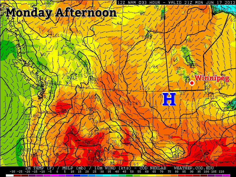
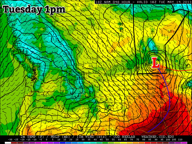
Beautiful weather will continue across southern Manitoba through the next few days as a ridge of high pressure works it’s way across the Province. Things will turn stormier heading into the weekend as a potent upper trough pushes inland from the Pacific.
Today & Tomorrow
Wednesday 25°C
25°C /
12°CA few clouds in the afternoon.
Thursday 25°C
25°C /
12°CDescription
Over the next couple days mainly sunny skies will dominate as a surface ridge slowly works it’s way across the province. Unlike the past couple days where we’ve enjoyed sunny skies here in the Red River Valley while areas further north in the Interlake and Central Manitoba were stuck underneath extensive cloud cover & showers, pretty much the entirety of Manitoba will be seeing plenty of sun and temperatures in the mid–20’s. Today we’ll climb to around 24°C and probably climb a degree or two higher for Thursday. Overnight lows will be comfortably seasonal, dipping down to around 12°C.
Things will begin taking a turn on Friday, though, as a strong southerly flow develops which will begin to push heat and moisture northwards through the High Plains and into the Southern Prairies. While it looks like the end of the week will have quite a bit of thunderstorm activity in Saskatchewan, things aren’t quite as clear cut here. Let’s take a look at how things look to pan out for us right now.
Friday
Friday 23°C
23°C /
13°CIncreasing cloud with risk of a thunderstorm. Chance of thunderstorms overnight.
A strong southerly flow will develop on Friday as the upper trough begins it’s way inland. Winds will increase to around 40km/h up and begin to bring moisture northwards. This will feed into a broad area of low pressure working it’s way across the Prairies. With the strong feed of moisture streaming northwards, we’ll likely see increasing cloudiness fairly early in the day which will limit our daytime high to a few degrees cooler than today or tomorrow. At this point, no severe storms are expected in the Red River Valley although a few scattered thunderstorms may manage to pop up, especially over the western RRV; for severe storms conditions look to be far more favourable further west in Eastern Saskatchewan or extreme SW Manitoba where the apex of the 850mb warm nose will reside with it’s associated low-level jet. Conditions there look favourable for the potential development of severe storms, although it may get messy very quickly with linear upscale growth shortly after initiation. Since the conditions there don’t directly pertain to the Red River Valley, I’ll leave a discussion of the severe weather potential for that region in the comments below.

Rainfall forecast for Friday night (Sat 00Z – Sat 12Z) from the GDPS.
The storms that fire Friday evening will continue through the night at least as a band of rain but more likely as an organized area of nocturnal thunderstorms. The low looks to lift northwards through the night before continuing eastwards, and the storms are expected to follow suit, moving ENE after initiation. At this point, it looks quite likely that Friday night will be a stormy night in the Interlake, however in the Red River Valley things are more uncertain. With much of the forcing lifting northwards, storms may have a difficult time surviving further south where lift will not necessarily be lacking, but not nearly as focused. Wherever the storms do go, the threat for severe storms will likely continue into the night. A strong 40+kt 850mb low-level jet will provide ample lift and moisture for the system and help maintain 1000+J/kg MUCAPEs through the night. The main threat with these storms would be large hail and the potential for strong straight-line winds.
We’ll keep a close eye on this system and have a more comprehensive look at it on Friday morning’s post. Until then, get out there and enjoy the beautiful weather!


