Mild Spring Conditions Continue; Windy with Showers Possible This Weekend

Temperatures will stay mild in Winnipeg through the weekend, but sunshine will give way to more chances for showers.

RDPS 2m Temperature Forecast valid 21Z Saturday May 7, 2022
Summer-like warmth will spread through southern Manitoba on Saturday.

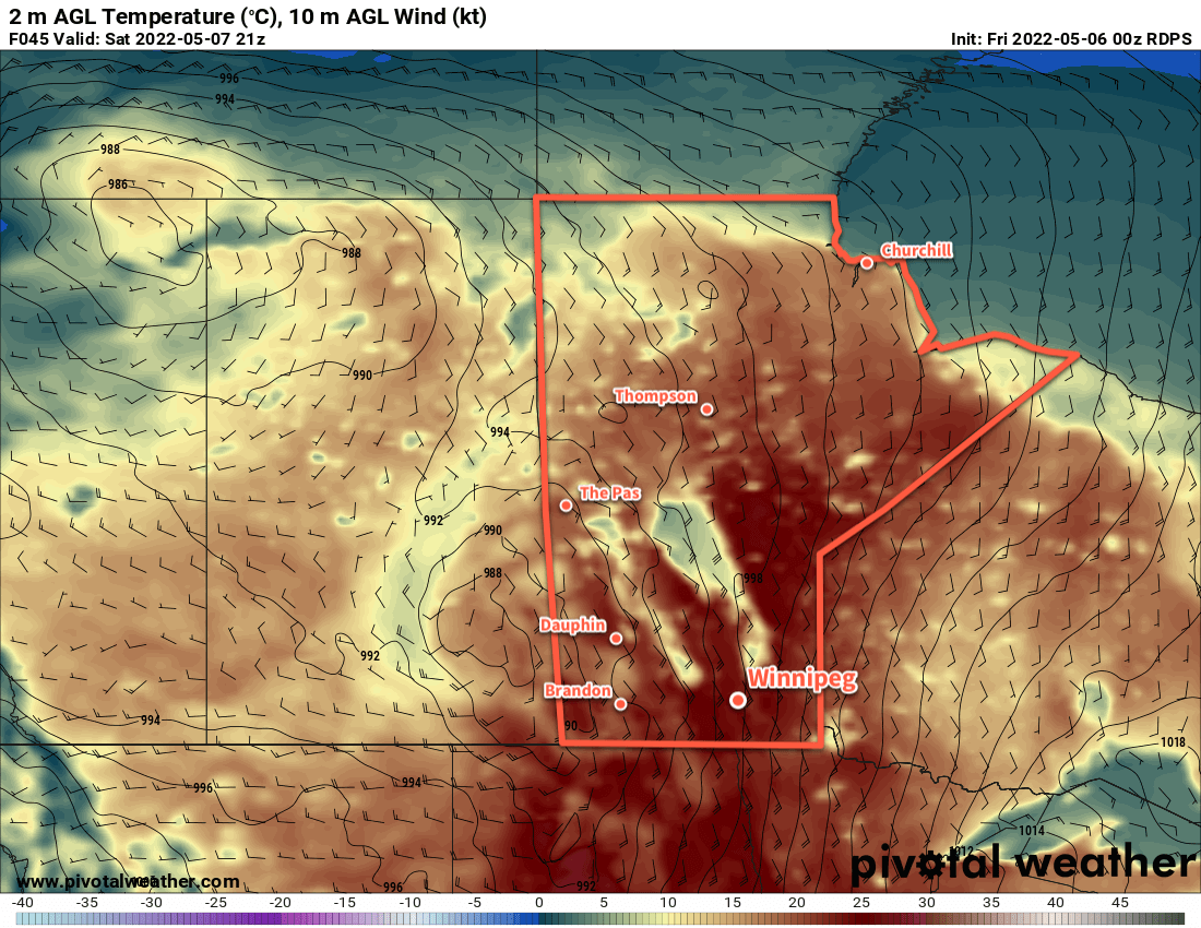
Warmer weather will continue to push into the Red River Valley over the coming days. Daytime highs will stay in teh 20s, reaching close to the mid-20s on Saturday. This push of warmer weather is thanks to a stubborn low pressure system over the northern Prairies. It will support a southerly flow over the southeastern Prairies, drawing a consistent stream of milder air northwards. With that, though, will also come several disturbances that will also move north in the flow.

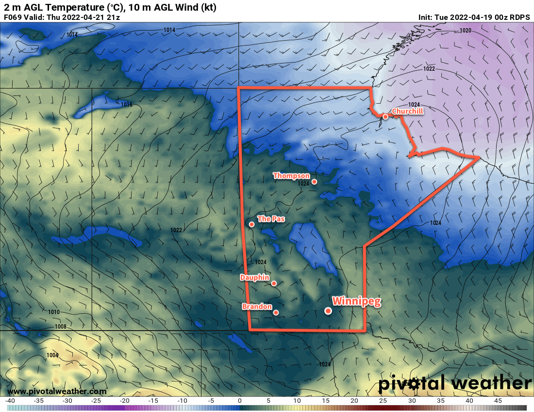
After a plenty of sunshine day today, a broken line of showers will push across the Red River Valley. Supported only by a weakening trowal, the showers won’t likely amount to much. Skies will clear out overnight as temperatures dip into the low teens.

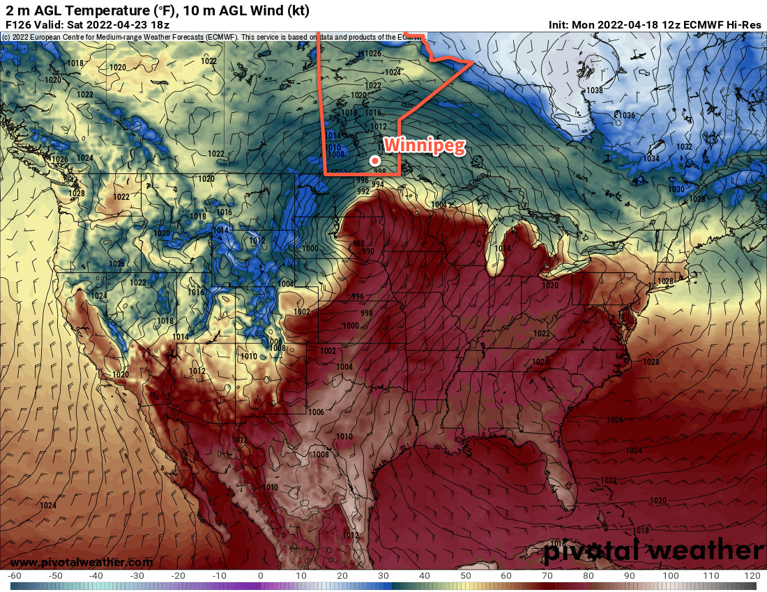
Saturday will be a slightly more interesting weather day across the region. Off to a sunny start, the day will warm up quickly. Winnipeg should reach 20 °C by noon, and climb close to 25 °C in the afternoon. Of note will be that it will become quite windy in the afternoon with strong southerly winds of 50–60 km/h. This will be particularly concerning as the winds will generate significant wave action on the flood waters through the valley. This will produce stress on flooded roads and flood barriers in place; consult local EMOs on whether you might need to take any additional action to reinforce any personal flood protection structures.

Later in the day, cloud will push into the region as a low pressure system lifts from eastern Montana into western Manitoba. This low will support an area of rain that moves through southeast Saskatchewan into western Manitoba through the day.

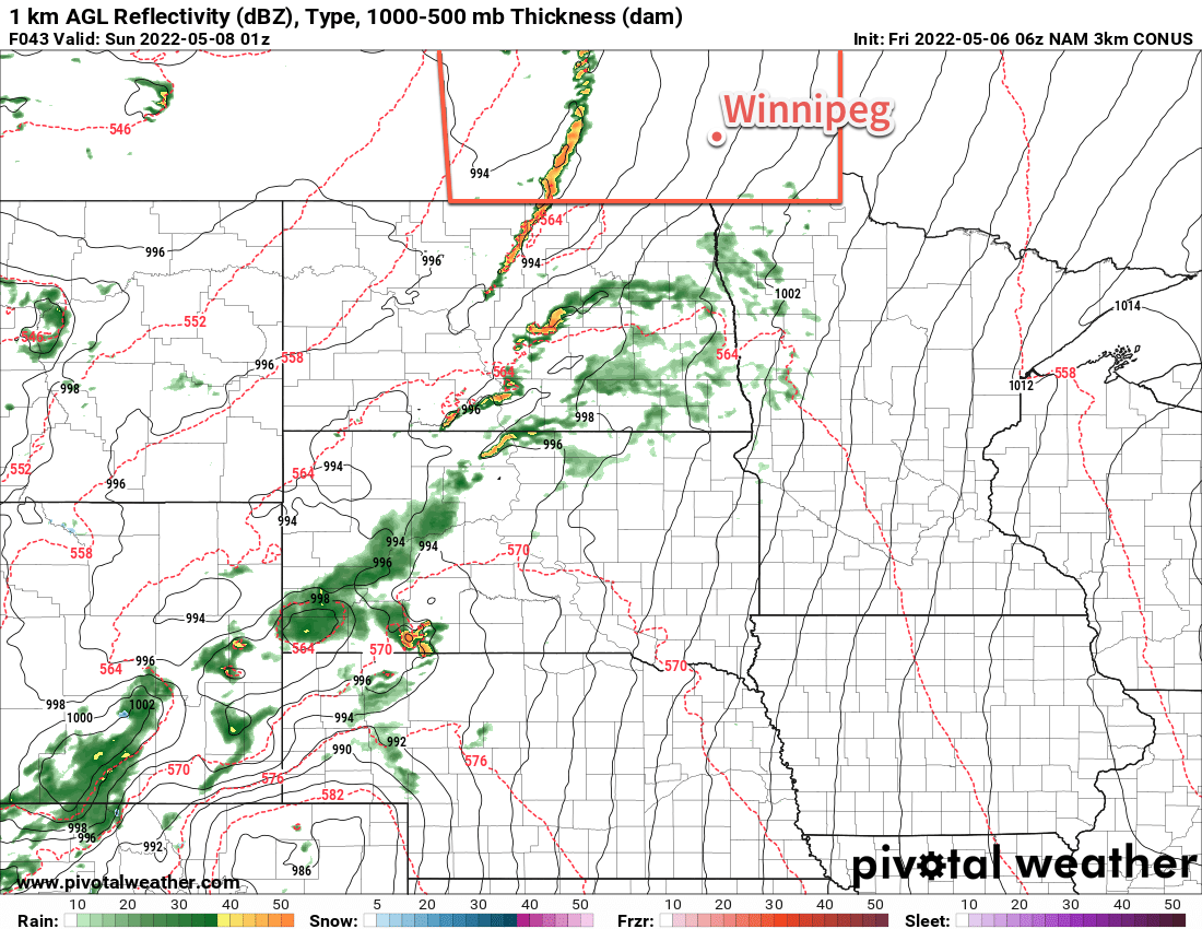
For our region, showers will likely develop late in the day as a cold front starts pushing eastwards towards the Red River Valley. By evening, the forcing of the cold front will combine with a strengthening low-level jet, triggering a line of showers and thunderstorms. The storm environment is even relatively supportive for this time of year. As long as the forecasted moisture advection from the American Plains is able to materialize, the storms will have a moderate amount of energy to work with and ample wind shear to organize it.

The storms will likely trigger close to the Saskatchewan border, then move east-southeast. Some of these storms may be severe with the potential for damaging hail and strong wind gusts. As the line approaches the Red River Valley, it will dig into the low-level jet, developing southwards. As a result, the storms in Manitoba will weaken as they head into the Red River Valley, making it more likely that our area sees some collapsing showers or weak thundershowers, although stronger storms could linger closer to the U.S. border.

3km NAM Simulated RADAR Reflectivity Forecast valid 01Z Sunday May 8, 2022
Thunderstorms are likely over southwestern Manitoba on Saturday afternoon, pushing towards the Red River Vally into the evening hours.

Temperatures will drop down to around 10 °C on Saturday night. Showers will be possible through the night.

On Sunday, the region could see some morning showers but its highly dependent on the evolution of this system. The rest of the day will bring mixed skies to the region as we sit on the edge of a system passing to the east. Temperatures will still be mild with highs in the upper teens.

Long Range Outlook

On Monday, another disturbance will move into the province bringing more showers and a risk of thunderstorms to the region. After that, a couple nice days are in store, then another chance of showers or thunderstorms will develop later in the week.

Today’s seasonal daytime high in Winnipeg is 17 °C while the seasonal overnight low is 3 °C.

Cool Weather, More Precipitation Ahead for Southern Manitoba

Cool weather continues this week with more precipitation in the forecast. Another batch of snow is heading to the province on Wednesday, followed by another winter storm on the weekend.

RDPS Precipitation Type & Rate Forecast valid 18Z Wednesday April 20, 2022
More snow is forecast across southern Manitoba on Wednesday.

Yesterday’s sunshine will be gone today as more cloud builds into the region. Warmer air moving in aloft will bring the cloud, but the southeasterly wind will keep it cooler near the ground. Winnipeg will see a high just above freezing today.

Some light snow will push into the region tonight ahead of the warm front. The snow should start sometime after 7PM and continue into the overnight period. Winnipeg should see around 2–4 cm by Wednesday morning with lesser amounts to the south. Lows will stay mild with the approach of warmer air; Winnipeg should dip to around 0 °C overnight.

On Wednesday morning, a second area of snow will blossom along the cold front and upper jet in North Dakota. This will push into the Red River Valley mid-morning, bringing a second batch of snow to the region. The precipitation should ease later in the afternoon with another 2–5 cm accumulation in the affected areas. The above-freezing temperatures will help compact and melt some of the snowfall as the day goes on. Winds will ease through the day as the low centre moves across the province. Today’s high will reach the low single digits.

Temperatures will dip down to around freezing again on Wednesday night. A few flurries will are likely as well. Northerly winds will pick up into the 30–40 km/h range overnight on the backside of the departing low.

RDPS 2m Temperature Forecast valid 21Z Thursday April 21, 2022
Cooler temperatures will continue on Thursday over the snow-covered ground in southern Manitoba and Saskatchewan.

A ridge of high pressure will slide into the province on Thursday, bringing gradually easing winds and some sunny breaks to the region. A high again in the low single digits will continue the below-normal temperature trend in the region. Temperatures will dip to around the freezing mark again on Thursday night with cloudy skies.

Long Range Outlook

Beginning on Friday, the region will start to be affected by a strengthening Colorado Low. While the low centre will stay well south in the United States, precipitation will move into the province already on Friday.

There’s a lot of uncertainty as to what exactly will fall over the province. The Canadian long-range model is trending warmer with most of the precipitation falling as rain. The American models are slightly cooler and trend towards a snow/ice pellet solution. The ECMWF model, on the other hand, sits somewhere in the middle. It has a mainly rain event for the Red River Valley, southern Interlake, and southeast corner of the province. For southwestern Manitoba, the Parkland, and northern Interlake, it produces a mix of ice pellets and snow.

This will be a multi-day system that impacts

ECMWF 2m Temperature and MSLP Forecast valid 18Z Saturday April 23, 2022
Weather models agree that a potent Colorado Low will lift into the Dakotas this weekend, bringing another winter storm to parts of Manitoba.

the region through Sunday. For areas in western Manitoba, it’s looking like it will be another considerable dump of snow with 20–50 cm possible in some areas. Western Manitoba is also looking like the most likely region to see fairly persistent precipitation through the event. Further east, the precipitation will come in multiple waves separated by relatively benign weather with perhaps a bit of drizzle.

In the waves that do move through, the rain or snow may be quite heavy at times, driven by convective elements. With the snow already on the ground across parts of the region, this could result in rapid snow melt. If you live in a property that has grading issues, you may want to move snow away from your home/foundation before the weekend to help minimize any potential overland flooding risks.

As with the last Colorado Low, this system will also likely see a dry slot wrap into southern Manitoba, most likely for the Red River Valley and areas east. This would result in a 6–12 hour break of benign, mild weather with the only real threat being a bit of drizzle.

As the low pushes off to the east on Sunday, some areas that have only seen rain may see some accumulating snow as well.

We’ll be keeping an eye on this system as it develops through the week and have more details in our Friday forecast!

Today’s seasonal daytime high in Winnipeg is 12 °C while the seasonal overnight low is 0 °C.

Unsettled Weather Moving In

Winnipeg will see several days of cloudy, unsettled conditions as an upper low moves through the region.

RPDS 24hr. Precipitation Accumulation Forecast valid 12Z Wednesday April 6, 2022
The Canadian weather models keep all of today’s rain south of Winnipeg.

An upper low moving across the Prairies will drive the weather in the Red River Valley over the coming days. It will support a complex of low pressure systems that amalgamate into a larger single low that stalls out over NW Ontario. As this evolution of the system occurs, it will bring several waves of precipitation to the Winnipeg area.

The first wave of precipitation will move into the region today. Rain will spread northwards out of the Dakotas midday into the Red River Valley and last through the afternoon.

How far north the rain pushes will be a bit of question. It looks likely that much of it will remain just south of Winnipeg, but a brief period of rain is certainly possible through the early afternoon. Some snow will likely mix in with the rain in the evening with periods of a wintery mix lasting through the night. The precipitation will ease on Wednesday morning.

More rain will push in from the east in the afternoon. This wave of precipitation will affect the entire Red River Valley this time, Winnipeg included. The rain should become mixed with snow late in the day, then change over completely to snow overnight. A few flurries will taper off on Thursday morning, but skies will likely stay cloudy through much of the day.

RDPS 24hr. Precipitation Accumulation Forecast valid 18Z Thursday April 7, 2022
A mix of rain and snow will fall across much of south-central and southeastern Manitoba Wednesday into Thursday morning.

Daytime highs over the next few days will hover around 3 or 4 °C with temperatures back to around freezing overnight. The wind will be quite noticeable over the coming days, though, making for chilly conditions. Moderate easterly winds will shift north overnight, then pick up to strong northwesterlies later Wednesday. These strong northwest winds of 40–50 km/h will persist through Thursday. The wind will finally begin to ease on Thursday night into Friday.

The week will end strong with a high in the 5–10 °C range and more sunshine. Temperatures will dip below freezing both Thursday night and Friday night.

Long Range Outlook

Temperatures will climb back above seasonal values on Saturday with a high near 10 °C. More cloud will move into the area ahead of another major low pressure system crossing the Prairies.

This system may bring some more precipitation to the region Sunday into next week, but there’s quite a bit of uncertainty at this point. Either way, a few days of seasonably warm weather and mixed to cloudier skies will start off the new week.

Today’s seasonal daytime high in Winnipeg is 7 °C while the seasonal overnight low is -5 °C.

Gradual Spring Melt Continues

Pleasant spring temperatures and variable cloudiness will continue to aid in a gradual spring melt across the region.

RDPS 2m Temperature Forecast valid 21Z Friday April 1, 2022
West-southwest winds will usher warmer spring temperatures into the Red River Valley.

The week will end with a beautiful day in the Winnipeg area. Breezy southwest winds will help highs climb up close to 10 °C this afternoon under mainly sunny skies. Westerly winds will continue for much of the night near 20 km/h. Temperatures will dip below freezing as a passing cold front ushers in more cloud early Saturday morning.

Behind the front, temperatures will be a bit cooler and skies cloudier. The high in Winnipeg will cool to just above the freezing mark on Saturday as northwest winds taper off late in the day. Much of the cloud cover will stick around Saturday night. The low dips into the -5 to -10 °C range.

Sunday will continue cloudier, but temperatures will moderate back towards seasonal values with a high near 5 °C. Temperatures will dip just below freezing on Sunday night, moderated by milder air moving in for Monday.

Throughout the next few days, dew point values will stay below freezing and continue to aid the gradual snowmelt across the region. Combined with a lack of precipitation, this is helping to ease the flood risk across the region.

Long Range Outlook

The weather pattern will turn a bit more unsettled next week as several disturbances cross through the province. This pattern change will bring warmer weather more consistently to the region with daytime highs closer to 10 °C through the week. Rain is possible on a few days next week, but there is still too much disagreement between weather models to suggest any certainty.

Today’s seasonal daytime high in Winnipeg is 5 °C while the seasonal overnight low is -6 °C.